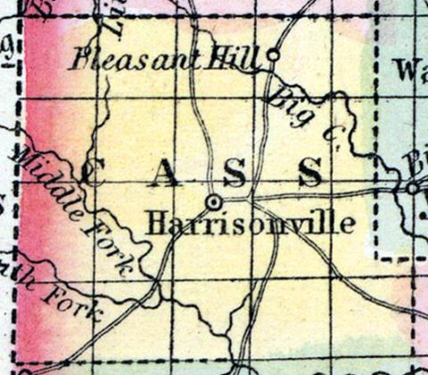
CASS COUNTY, situated on the west boundary of Missouri. Area, -------- square miles. Seat of justice, Harrisonville. Pop. in 1850, 6,090. (Fanning's, 1853)
CASS, formerly VAN BUREN, a county in the W. part of Missouri, bordering on the Indian territory, has an area of 1000 square miles. It is intersected by the middle fork of Grand river, and by Big creek, and also drained by numerous other creeks. The surface is undulating, diversified with prairies and groves, the former of which are the most extensive; the soil is generally good. Indian corn, wheat, oats, hay, cattle, and pork are the staples. In 1850 this county produced 300,976 bushels of corn; 13,524 of wheat; 65,113 of oats, and 1610 tons of hay. It contained 7 churches, 748 pupils attending public schools, and 180 attending academies or other schools. Limestone and sandstone are abundant in the county. It is supplied with numerous springs of good water, and valuable mill streams. Capital. Harrisonville. Population, 6090, of whom 5612 were free, and 478, slaves. (Baldwin & Thomas, A New and Complete Gazetteer of the United States ... 1854)

