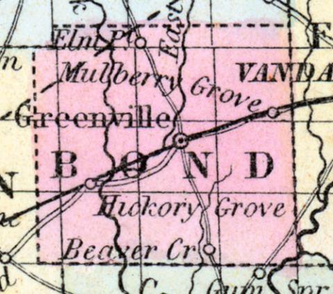
BOND COUNTY, Is., c. h. at Greenville. S. W. central. Watered by Shoal Creek, a branch of the Kaskaskia River. (Gazetteer of the United States of America, 1854)
BOND COUNTY, A county in the south-west central part of the state; has an area of about 400 square miles. It is intersected by Shoal Creek and its branches, the east and vest forks of which flow southward; the Kaskaskia river touches the south-eastern extremity. The surface is undulating, and presents an alternation of beautiful prairies and tracts of timber, in nearly equal proportions. The soil is highly productive. Indian corn, wheat, oats, pork and butter are the staples. The projected Atlantic and Mississippi railroad will intersect the county and tend greatly to advance its interests. The county was named after Shadrach Bond, first governor of Illinois. Capital, Greenville. Population, about 9,000. (Hawes' Illinois State Gazetteer...,1859)

