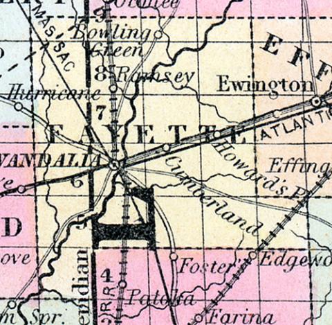
FAYETTE COUNTY, situated toward the central part of Illinois, and traversed by the Kaskaskia River. Area, 648 square miles. Seat of justice, Vandalia. Pop. in 1830, 2,704; in 1840, 6,328; in 1850, 8,075. (Fanning's, 1853)
FAYETTE COUNTY Is situated in the south central part of Illinois, and has an area of 640 square miles. The Raskaskia river flows through the county in a south-westerly direction, being joined in its passage by numerous creeks. The surface is generally level but diversified by prairies and woodland; some of the first are quite dense. The soil is highly productive. Corn, wheat, oats, potatoes, beans, cattle and swine are the staples. The county contains numerous churches, a seminary of learning and other public buildings, while its streams furnish abundance of water power for milling and manufacturing purposes. It is intersected by the Illinois Central railroad, which has tended greatly to increase its prosperity. It is one of the oldest counties in the state. Capital, Vandalia. Population, about 10,500. (Hawes' Illinois State Gazetteer...,1859)

