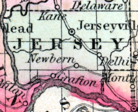
JERSEY COUNTY, Is., c. h. at Jerseyville. Bounded N. by Greene and E. by Macoupin co., S. by Madison co. and the Mississippi River, separating it from Missouri, and W. by the Illinois River, separating it from Calhoun co. Watered on the N. by a branch of the Illinois River. (Gazetteer of the United States of America, 1854)
JERSEY COUNTY Is situated in the west-south-west part of the state, bordering on Missouri, and has an area of about 350 square miles; it is situated at the confluence of the Illinois and Mississippi rivers, the former of which forms the western boundary, and the latter the southern; Macoupin creek washes the northern border, the county consists of prairie and woodland, the soil is good. The St. Louis, Alton and Chicago railroad passes near the south-east corner, and the Jacksonville and Carrolton railroad intersects it. Corn, wheat, oats and pork, are the staples; it contains about 20 churches, 1 newspaper office, and has over 1,200 pupils attending public schools; capital, Jerseyville. Population, 9,700. County Judge, O.P. Powell; Sheriff, Benj. Wedding. (Hawkes' Illinois State Gazetteer, 1859)

