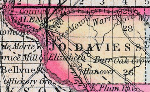
JO-DAVIESS COUNTY, situated at the northwest corner of Illinois, on the Mississippi river. Area, 724 square miles. Soil rich. Seat of justice, Galena. Pop. in 1830, 2,111; in 1840, 6,180; in 1850, 18,604. (Fanning's, 1853)
JO DAVIESS COUNTY. This county forms the north-west extremity of the state, bordering on Iowa and Wisconsin, and has on area of 650 square miles; the Mississippi river forms its south-west boundary, Le Fevre and Apple rivers flow through the county; it is also drained by Plum river and Rush Creek, the surface is uneven and in some parts hilly; the soil is generally good; wheat, corn, oats, hay and lead are the staples. It contains a large number of fine churches, several newspaper offices, and has over 8,000 pupils attending public schools; rich mines of lead exist throughout the county, which are successfully worked, affording an immense source of revenue; copper is also found in some portions. The county is intersected by the Illinois Central railroad; one or two other lines of road are in process of building. Named in honor of Colonel Joseph Hamilton Daviess, who fell in the battle of Tippecanoe. Capital, Galena. Population, about 28,000. (Hawes' Illinois State Gazetteer..., 1859)

