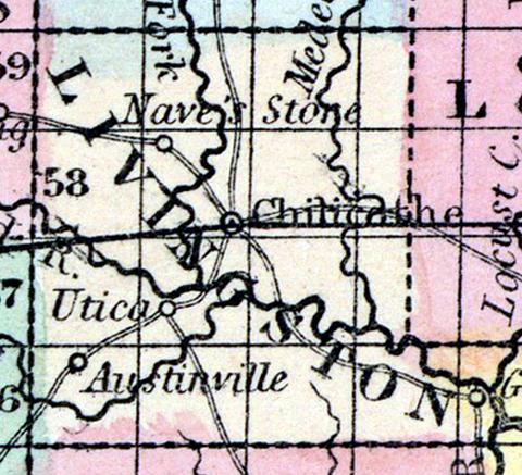
LIVINGSTON COUNTY, situated toward the northwest part of Missouri, and traversed by Grand river. Area, 510 square miles. Seat of justice, Chillicothe. Pop. in 1840, 4,325; in 1850, 4,247. (Fanning's, 1853)
LIVINGSTON, a county in the N. N. W. part of Missouri, has an area of 530 square miles. It is intersected by Grand river, (of the Missouri,) which, in passing through it, receives the Crooked fork and Medicine creek from the left, and a large stream called Shoal creek from the right. The surface is generally level, and a large proportion of it is prairie. The soil is said to be good. Indian corn, wheat, oats, hay, butter, and pork are the staples. In 1850 this county produced 270,270 bushels of corn; 32,233 of wheat; 89,881 of oats; 972 tons of hay, and 42,665 pounds of butter. It contained 3 churches, 1 newspaper office, 205 pupils attending public schools, and 80 attending academies or other schools. The streams of the county furnish water-power. Named in honor of Edward Livingston, secretary of state under President Jackson. Capital, Chilicothe. Population, 4247; of whom 3939 were free, and 308, slaves. (Baldwin's New and Complete Gazetteer of the United States..., 1854)

