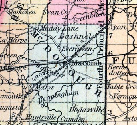
McDONOUGH COUNTY, situated on the west part of Illinois. Are, 576 square miles. Seat of justice, Macomb. Pop. in 1840, 5,308; in 1850, 7,615. (Fanning's, 1853)
McDONOUGH COUNTY Is situated in the west part of the state, and has an area of 575 square miles. It is intersected by Crooked creek, an affluent of the Illinois river, and drained by Downing's Fork, Turkey, and Grindstone creeks. The surface is moderately uneven; the soil is highly productive. The greater part of the county is prairie land. Corn, wheat, oats, hay, pork, and potatoes are the staples. It contains about twenty churches and has over twenty-five hundred pupils attending public schools. It is traversed by the Chicago and Quincy railroad. Along many of the streams fine groves of timber are found. Capital, Macomb. Population, about 14,500. (Hawes' Illinois State Gazetteer...,1859)

