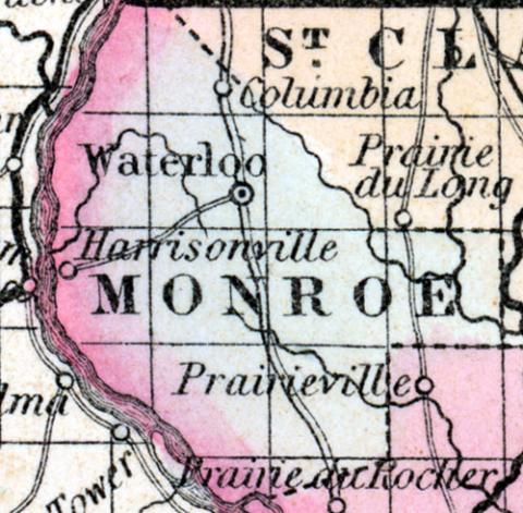
MONROE COUNTY, situated on the southwest boundary of Illinois, with the Mississippi river on the west, and the Kaskaskia river on the east. Area, 360 square miles. Seat of justice, Waterloo. Pop. in 1830, 2,000; in 1840, 4,481; in 1850, 7,679. (Fanning's, 1853)
MONROE COUNTY Is situated in the south west part of the state, bordering on Missouri, and has an area of 300 square miles. The Mississippi river forms the boundary on the west and south-west; the county is also drained by Prairie and Eagle creeks. The surface is hilly in the west part and nearly level in the east. The soil is mostly fertile. Corn, wheat, oats, cattle and pork are the staples. It contains about twenty churches, and has over 1000 pupils attending public schools. Limestone suitable for building purposes is found in great abundance. Formed in 1820. Capital, Waterloo. Population, about 12,500. (Hawes' Illinois State Gazetteer...,1859)

