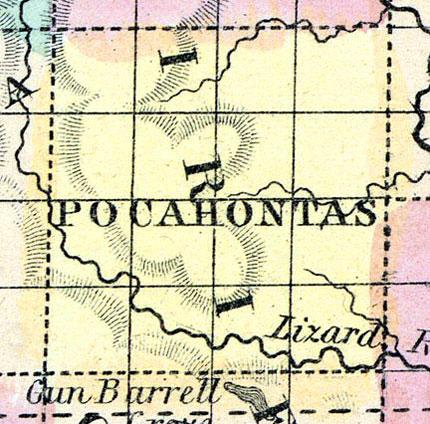
POCAHONTAS COUNTY Was organized in 1859. It is situated in the third tier of counties from the northern boundary of the State, and fourth east of Nebraska. It is bounded on the north by Palo Alto County, on the east by Humboldt and Webster, on the south by Calhoun, and on the west by Buena Vista. It is watered by the North Lizard fork, the west branch of the Des Moines and the head waters of the North Raccoon. Land is good, and portions of it better adapted to grass than grain.
Stone quarries have been discovered on the Des Moines River in the northeast, and on North Lizard Creek in the southeastern part of the county. This portion of the State will be abundantly supplied with lime from Fort Dodge, and from quarries and kilns on Lizard Creek. Timber is not abundant, especially in the western part of the county.
ROLFE, the county seat, is in the northeastern part of the county, on the west branch of the Des Moines River. (Hair's Iowa State Gazetteer..., 1865)
Annotations
Total Population 1860
103
Free Black Population 1860
0
Latitude
42.734033
Longitude
-94.678279
Type
County
County
Pocahontas
State
Iowa

