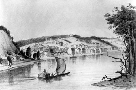
Missouri enjoys the navigation of the two greatest rivers in the United States, if not in the world. By means of the Mississippi river, which coasts her entire eastern boundary, she can hold commercial intercourse with the most northern territory of the Union, with the whole of the valley of the Ohio, with some of the Atlantic States, and with the Gulf of Mexico. By means of the Missouri, her other great river, she may extend her internal commerce to the Rocky mountains, besides receiving the products that may be furnished in future times by its multitude of tributaries. The Missouri river coasts the N. W. of the state for about 200 miles, (following its windings,) and then darts across the state in a direction a little S. of E., dividing it into two portions, of which about a third is N., and the remainder S. of that river. The S. shore is bounded in many places by bluffs of from 100 to 300 feet in height, while the N. is often bottom lands not generally liable to inundation. Both the Mississippi and Missouri rivers are navigable for large steamers far beyond the limits of the state, though the navigation of the latter is impeded by the swiftness of its current (twice that of the Mississippi) and by the shifting sands. The Missouri river receives a number of tributaries within the limits of the state, the principal of which are the Chariton and Grand rivers from the N., and the Osage and Gasconade from the S. The principal tributaries of the Mississippi river within the state are the Salt river, N., and the Maramec river, S. of the Missouri river. The St. Francis and White rivers, with their branches, drain the S. E. part of the state, and pass into Arkansas. The Osage is navigable for boats of light draught 200 miles, and it is proposed to improve its navigation, as well as that of the Grand, Salt, and Maramec rivers. Fine plank and timber are floated down the Gasconade river. (Baldwin & Thomas, A New and Complete Gazetteer of the United States ... 1854)

