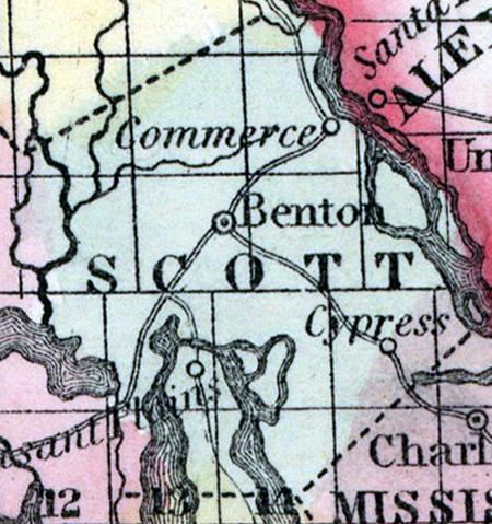
SCOTT COUNTY, situated on the easterly boundary of Missouri, with Mississippi river on the northeast. Area, 936 square miles. Face of the country, even; soil, fertile. Seat of justice, Benton. Pop. in 1830, 2,136; in 1840, 5,974; in 1850, 7,914. (Fanning's, 1853)
SCOTT, a county in the E. S. E. part of Missouri, has an area of 370 square miles. It is bounded on the E. by the Mississippi river, which separates it from Illinois, and on the W. by Castor river and Castor lake. The surface is uneven, and some parts broken; a portion of the soil is productive. Indian corn, wheat, oats, cattle, and swine are the staples. In 1850 this county produced 169,100 bushels of corn; 3700 of wheat, and 9365 of oats. It contained 9 churches, and 225 pupils attending public schools. Extensive cypress swamps occur in the S. part. Capital, Benton. Population, 3182; of whom 2789 were free, and 393, slaves. (Baldwin's New and Complete Gazetteer of the United States..., 1854)

