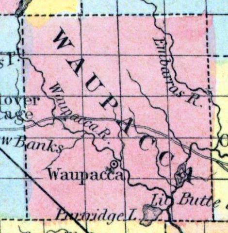
WAUPACA, a county in the N. central part of Wisconsin, contains 720 square miles. It is drained by Waupaca, Wolf, and Embarras rivers. The surface is uneven, and partly occupied with forests. Organized in 1851, and therefore not included in the census of 1850. Capital, Mukwa. (Baldwin's New and Complete Gazetteer of the United States..., 1854)
WAUPACCA, County, is bounded on the north and northeast by Oconto, on the east by Outagamie, on the south by Winnebago and Waushara, and on the west by Portage. It was set off from Winnebago and established February 17, 1851, and attached thereto for judicial purposes. It is watered by the Wolf, Waupacca, Wabunk, Embarrass and Little Wolf rivers, and contains some of the best pine timber in the State. It being new, but little is known of its agricultural capacities. The county seat is at Mukwa, on Wolf river. Waupacca county belongs to the fourth judicial circuit, to the second senate and third congressional district, and with Outagamie and Oconto, sends one member to the assembly. (John Warren Hunt, Wisconsin Gazetteer..., Madison, 1853)

