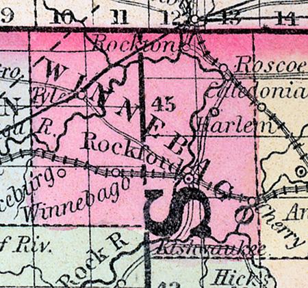
WINNEBAGO COUNTY, situated on the north boundary of Illinois, and traversed by Rock river. Area, 504 squared miles. Seat of justice, Rockford. Pop. in 1840, 4,609; in 1850, 11,773.(Fanning's, 1853)
WINNEBAGO COUNTY A county in the north part of the state, bordering on Wisconsin, has an area of 500 square miles. Rock river flows through the county from north to south, receiving in its passage the Pecatonica from the west and the Kishwaukee from the east. The surface is undulating, and presents a succession of beautiful prairies and woodlands. The prairies are highly productive, and mostly under cultivation. Wheat, Indian corn, oats, pork and hay are the staples. It contains twelve churches, one newspaper office, and about 2,000 pupils attending public schools. Lime stone of good quality is abundant along the banks of Rock river. The county is liberally supplied with water power, which is employed in mills and factories. It is intersected by the Galena & Chicago railroad, and by a branch of that road leading to Beloit, Wisconsin. Named from the Winnebago tribe of Indians. Capital, Rockford. Population about 1,200. (Hawes' Illinois State Gazetteer...,1859)

