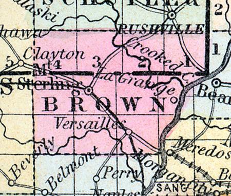
BROWN COUNTY, in the western part of Illinois, with Illinois river on the east, and Crooked river on the northeast. Area, 300 square miles. Seat of justice, Mount Sterling. Pop. in 1840, 4,183; in 1850, 7,198. (Fanning's, 1853)
BROWN COUNTY Is situated in the west part of Illinois, and has an area of about 320 square miles. It is bounded on the east by the Illinois river, and is intersected by McKee's creek. The surface is generally level or slightly undulating, and is divided between prairie and timberland. The soil is highly productive and well improved. The Bureau Valley railroad, connecting Peoria with Hannibal, Missouri, and also a branch connecting the Northern Cross with the Great Western railroad, will intersect the county. Capital, Mt. Sterling. Population, 8760. (Hawes' Illinois State Gazetteer...,1859)

