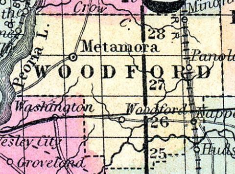
WOODFORD COUNTY, situated in the central part of Illinois, with Illinois river on the northwest. Area, 470 squared miles. Seat of justice, Woodford. Pop. in 1850, 4,416. (Fanning's, 1853)
WOODFORD COUNTY A county in the north central part of Illinois, has an area of 500 square miles. It is bounded on the west by the Peoria lake, an expansion of Illinois river, and drained by the Mackinaw and Crow creeks. The surface presents no great inequalities. The soil is fertile; the prairies are said to be more extensive than the forest Indian corn, wheat, oats, potatoes and pork are the staples. It contains numerous churches, and about 800 pupils attending public schools. Stone coal is found. The Illinois river is navigable along the border. The Central railroad passes through the county. County capital, Metamora. Population, about 8,000. (Hawes' Illinois State Gazetteer...,1859)

