Annotations
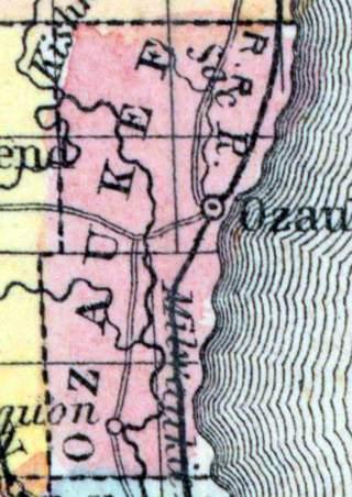
OZAUKEE, a county in the E. S. E. part of Wisconsin, bordering on Lake Michigan, contains about 225 square miles. It is intersected by the Milwaukee river, and also drained by Cedar creek. The surface is rolling and heavily timbered; the soil fertile. The productions are similar to those of Washington county, out of which it was formed in 1853. Capital, Ozaukee, or Port Washington. (Baldwin's New and Complete Gazetteer of the United States..., 1854)
OZAUKEE, County, was set off from Washington at the session of the legislature in January 1853. It comprises all of that portion of said county east of range 20. For a description of this county, see Washington county. (John Warren Hunt, Wisconsin Gazetteer..., Madison, 1853)
Demographic
Total Population 1860
15682
Political
Presidential Election Result 1856
Democrat
Presidential Election Result 1860
Douglas Democrat
Presidential Election Result 1864
Democrat
Geographic
Latitude
43.360752
Longitude
-87.499304
Type
County
County
Ozaukee
State
Wisconsin

