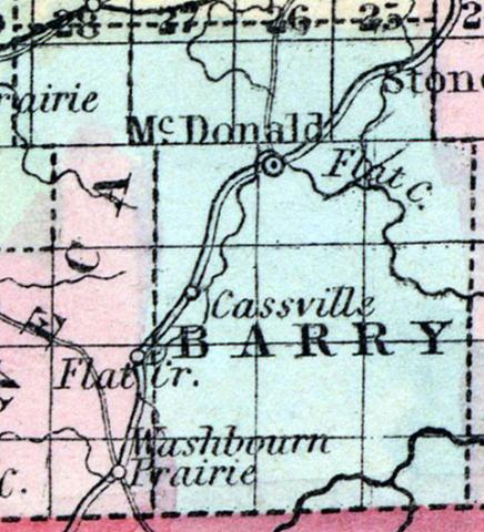
BARRY COUNTY, in the southwest of Missouri, and drained by White river and branches of the Osage. Area, 830 miles. Courts are held at McDonald. Pop. in 1836, 2,504; in 1840, 4,795; in 1850, 3,467. (Fanning's, 1853)
BARRY, a county in the S. S. W. part of Missouri, bordering on Arkansas, has an area of 703 square miles. It is traversed by White river, of Arkansas, and also drained by King's river and Flat creek. The surface is hilly and diversified by prairies and forests: the soil is generally fertile. Indian corn, wheat, oats, cattle, and swine are the staples. In 1850 the county produced 194,525 bushels of corn; 13,166 of wheat; 23,324 of oats, and 28,109 pounds of butter. It contained 3 churches, and 148 pupils attending public schools. Limestone is one of the principal rocks. The county contains mines of lead, which have not been explored to much extent. It is liberally supplied with water-power. Capital, Cassville. Population, 3567, of whom 3317 were free, and 160 slaves. (Baldwin's New and Complete Gazetteer of the United States..., 1854)

