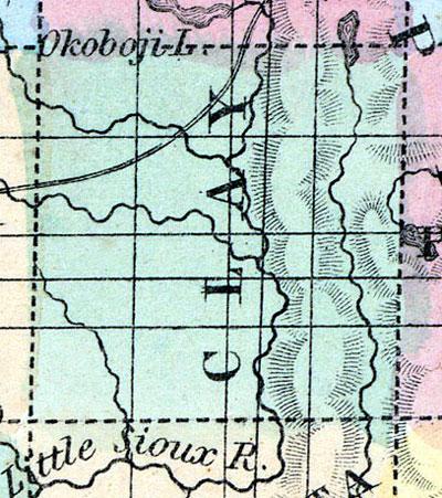
CLAY COUNTY Was organized in 1858, and is situated in the northwestern interior of the State, in the second tier from the Minnesota line, and third east from the Mississippi River. It is twenty-four miles square, and is bounded on the north by Dickinson, east by Palo Alto, south by Buena Vista, and west by O'Brien county. The surface is principally prairie, and is watered by the Little Sioux River and its tributaries, which flow through mostly in a southerly direction. There is a group of lakes in the northeast portion of this county which also extends into Palo Alto. The soil is of excellent quality, but timber is said to be scarce.
PETERSON is the county seat, on the Little Sioux River, seventy miles northeast of Fort Dodge. It has a Methodist Episcopal church, and one general store. Population, 75. (Hair's Iowa State Gazetteer..., 1865)
Annotations
Total Population 1860
52
Free Black Population 1860
0
Presidential Election Result 1860
Democrat
Presidential Election Result 1864
Unconditional Union (1864)
Latitude
43.081224
Longitude
-95.149875
Type
County
County
Clay
State
Iowa

