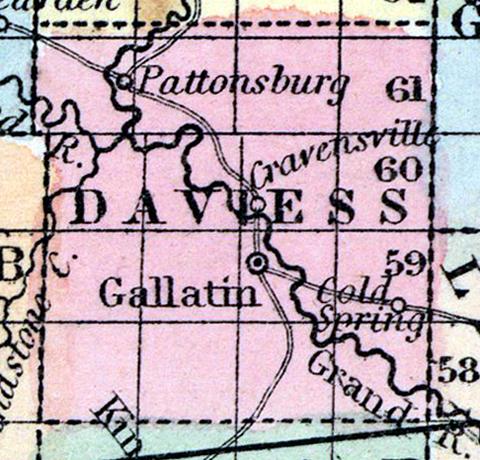
DAVIESS COUNTY, situated in the northwest part of Missouri, and traversed by long branch of Grand river. Area, 576 square miles. Seat of justice, Gallatin. Pop. in 1840, 2,736; in 1850, 5,298. (Fanning's, 1853)
DAVIESS, a county in the north-west part of Missouri, has an area of 576 square miles. It is intersected by the Grand river, which flows in a S. E. direction, receiving in its passage the Cypress, Big, and Honey creeks. The surface is slightly undulating, the soil fertile. Indian corn, wheat, oats, hay, cattle, and swine are the staples. In 1850 this county produced 212,530 bushels of corn; 19,168of wheat; 45,930 of oats, and 742 tons of hay. It contained 2 churches, and 300 pupils attending public schools. Capital. Gallatin. Population, 5298; of whom 5057 were free, and 241, slaves. (Baldwin & Thomas, A New and Complete Gazetteer of the United States ... 1854)

