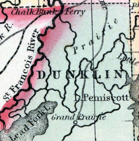
DUNKLIN COUNTY, situated at the southeasterly corner of Missouri, with St. Francis river on the west, and Lake Pemisco, and a part of Mississippi river, on the southeast. Area, -------- square miles. Seat of justice, Chillitecaux. Pop. in 1850, 1,229. (Fanning's, 1853)
DUNKLIN, a county near the S. E. extremity of Missouri, bordering on Arkansas, has an area of about 700 square miles. It is bounded on the W. by St. Francis river, and on the E. in part by Lake Pemiscot, intersected by Castor river, and extensively occupied by swamps. The surface consists partly of open plains or prairies. This county, together with several adjoining, was severely injured by the earthquakes of 1811 and 1812. The state legislature in 1860-61 made an appropriation for the reclamation of the sunken lands. The soil, where not overflowed, is highly productive. Indian corn, oats, cattle, and pork are the staples. In 1850 this county produced 77,860 bushels of corn, and 2776 of oats. It contained 1 church, 1 newspaper office, and 80 pupils attending public schools. Named in honor of the late Daniel Dunklin, former governor of Missouri. Capital, Kennet. Population, 1229, of whom 1216 were free, and 18, slaves. (Baldwin & Thomas, A New and Complete Gazetteer of the United States ... 1854)

