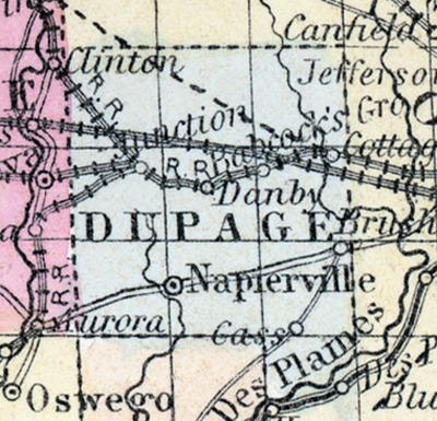
DUPAGE COUNTY, situated in the northeasterly part of Illinois. Area, 396 square miles. Seat of justice, Napierville. Pop. in 1840, 3,535; in 1850, 9,290. (Fanning's, 1853)
DU PAGE COUNTY Is situated in the north-east part of the state, and has an area of 340 square miles. It is drained by the east and west branches of the Du Page river. The surface is nearly level and the soil highly productive. A large portion of the county is prairie. Wheat, corn, oats and hay are the staples. It contains a large number of churches and several printing offices. The Illinois and Michigan canal passes along the south-east border, and the county is intersected by the Galena and Chicago Union railroad. At the western part of the county this road unites with the Burlington and Quincy, and Chicago, Fulton and Iowa lines. In 1857, the amount of property returned by the assessors was: Real estate, $1,963,683; personal property, $899,700; making a total of $2,863,385. The returns being only fifty per cent, of the actual value would make the true amount of property in the county, $5,726,770. Capital. Naperville. Population, about 14,500. (Hawes' Illinois State Gazetteer...,1859)

