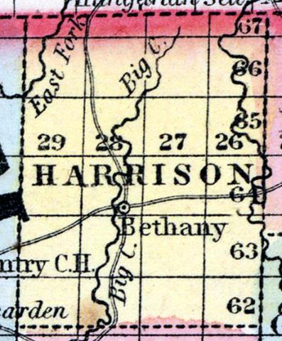
HARRISON COUNTY, situated on the northern boundary of Missouri. Area, -------- square miles. Seat of justice, Bethany. Pop. in 1850, 2,447. (Fanning's, 1853)
HARRISON, a county in the N. N. W. part of Missouri, bordering on Iowa, has an area of 750 square miles. The Crooked fork of Grand river traverses the N. E. part; Big creek, an affluent of Grand river, flows through the middle, from N. to S; the county is also drained by Sugar, Cypress, and Samson's creeks. A large portion of the surface consists of prairies. The soil on the margins of the streams is fertile. Indian corn, wheat, oats, hay, cattle, and butter are the staples. In 1850 this county produced 80,980 bushels of corn; 4120 of wheat; 16,234 of oats; 464 tons of hay, and 10,482 pounds of butter. It contained 1 church, and 27 pupils attending public schools. Capital, Bethany. Population, 2447; of whom 2434 were free, and 13, slaves. (Baldwin & Thomas, A New and Complete Gazetteer of the United States ... 1854)

