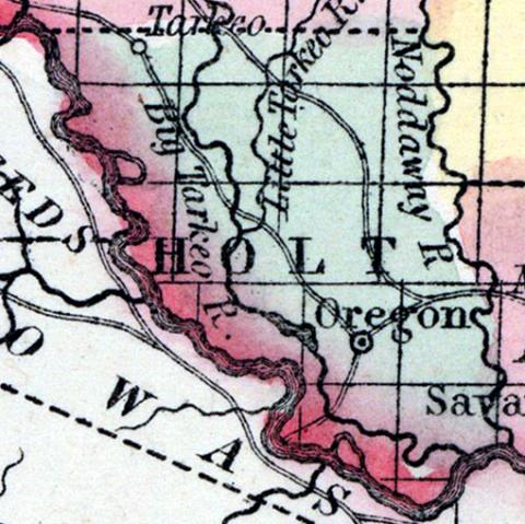
HOLT COUNTY, situated on the westerly boundary of Missouri, with Missouri river on the southwest. Area, -------- square miles. Seat of justice, Oregon. Pop. in 1850, 3,957. (Fanning's, 1853)
HOLT, a new county near the N. W. extremity of Missouri, bordering on the Missouri river, which, separates it from Indian Territory: area 470 square miles. It is bounded on the E. by the Nodaway river, and intersected by Tarkeo and Little Tarkeo rivers. The soil in some parts is fertile. Indian corn, wheat, oats, hay, hemp, cattle, and swine are the staples. In 1850 the county produced 240,347 bushels of corn; 48,355 of wheat; 11,423 of oats, and 870 tons of hay. It contained 3 churches, and 330 pupils attending public schools. Capital, Oregon. Population, 3957, of whom 3830 were free, and 127, slaves. Named in honor of Dr. Holt, a popular member of the Missouri legislature. (Baldwin & Thomas, A New and Complete Gazetteer of the United States ... 1854)

