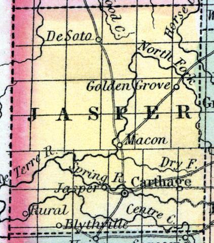
JASPER COUNTY, situated on the west boundary of Missouri. Area, 980 square miles. Seat of justice, Jasper. Pop. in 1850, 4,223. (Fanning's, 1853)
JASPER, a county in the W. S. W. part of Missouri, bordering on the Indian Territory, has an area of 1230 square miles. It is intersected by Spring river, and also drained by Muddy, Centre, Drywood, and Horse creeks. Surface somewhat diversified; soil fertile. Indian corn, wheat, oats, hay, cattle, and swine are the staples. In 1850 this county produced 275,116 bushels of corn; 16,909 of wheat; 03,265 of oats; and 201 tons of hay. It contained 8 churches, and 309 pupils attending public schools. Capital, Carthage. Population, 4223, of whom 4010 were free, and 213, slaves. (Baldwin & Thomas, A New and Complete Gazetteer of the United States ... 1854)

