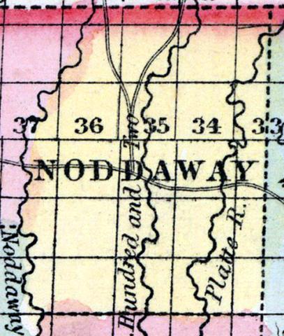
NODAWAY COUNTY, situated on the north boundary of Missouri. Area, ------ square miles. Seat of justice, Marysville. Pop. in 1850, 2,118. (Fanning's, 1853)
NODAWAY, a new county in the N. N. W. part of Missouri, bordering on Iowa, has an area of about 600 square miles. It is bounded on the W. by the Nodaway river, from which the name is derived, and also drained by the head streams of the Little Platte and the One Hundred and Two river. All of these streams flow from north to south. Indian corn, wheat, oats, hay, and butter are the staples. In 1850 the county produced 167,113 bushels of corn; 10,208 of wheat; 16,485 of oats; and 64 tons of hay. Capital, Maryville. Pop., 2118, of whom 2048 were free, and 70, slaves. (Baldwin & Thomas, A New and Complete Gazetteer of the United States ... 1854)

