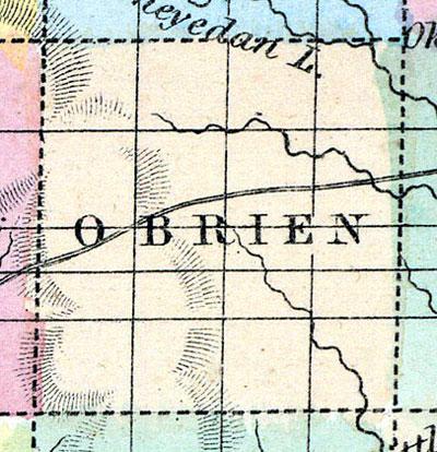
O’BRIEN COUNTY Was organized in 1860, and is in the second tier of counties from the northern boundary line of the State, and the second east of the western boundary. It is bounded on the north by Osceola County, on the east by Clay, on the south by Cherokee and on the west by Sioux. It contains 576 square miles, being twenty-four miles square. It is watered by the tributaries of the Little Sioux and Floyd Rivers.
This county has but few inhabitants, though it will be attractive to the farmer immigrants, as soon as the railroad is built, which will pass about eight miles from its southern line. There is but little timber in the county. It lies high, and most of it is very level.
O'BRIEN, the county seat, and the only post office in the county, is in the southeast township. (Hair's Iowa State Gazetteer..., 1865)
Annotations
Total Population 1860
8
Free Black Population 1860
0
Presidential Election Result 1860
Douglas Democrat
Presidential Election Result 1864
Democrat
Latitude
43.083746
Longitude
-95.625624
Type
County
County
O'Brien
State
Iowa

