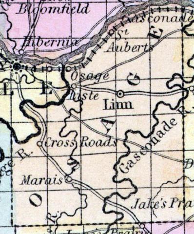
OSAGE COUNTY, situated in the central part of Missouri, with Missouri and Osage rivers on the northwest, and traversed by the Gasconade river. Area, --------- square miles. Seat of justice, Linn. Pop. in 1850, 6,704. (Fanning's, 1853)
OSAGE, a county in the E. central part of Missouri, contains about 850 square miles. It is bounded on the N. by the Missouri river, on the N. W. by the Osage river, and intersected by the Gasconade and Marais rivers. The surface is uneven. Indian corn, wheat, oats, and cattle are the staples. In 1850 the county produced 301,383 bushels of corn; 26,229 of wheat; 43,410 of oats, and 79,409 pounds of butter. It contained 3 churches, and 208 pupils attending public schools. Capital, Linn. Population, 6704; of whom 6434 were free, and 270, slaves. (Baldwin & Thomas, A New and Complete Gazetteer of the United States ... 1854)

