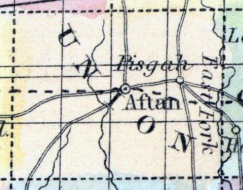
UNION, a county in the S. S. W. part of Iowa, has an area of 432 square miles. It is drained by the Crooked fork of Grand river, and several of its affluents. The soil is said to be fertile, but is mostly uncultivated. The census gives us no information respecting this county, which has but few inhabitants. Capital, not yet established. (Baldwin's New and Complete Gazetteer of the United States..., 1854)
UNION COUNTY Was organized in 1853, and is the fourth county from the Missouri River, and in the second tier from the southern line of the State. It is bounded on the north by Adair and Madison Counties, on the east by Clark, on the south by Ringgold, and on the west by Adams. Grand River and its tributaries flow in a southeasterly direction through the eastern portion of the county, and the head waters of the Platte River in a southwesterly direction through the western portion of the county, it being on the water shed between the Mississsippi and Missouri Rivers. The lands in this county are generally very rough, with some high hills for a prairie country. There is a large district of very desirable land around Highland, about three miles southwest of Afton. The county is well watered, and tolerably well timbered. There are some splendid groves of timber, one covering about a township, on Platte River, in the southwest part, of good white oak. Extensive beds of stone coal have recently been discovered in this county. The county is well adapted to stock, sheep especially. (Hair's Iowa State Gazetteer..., 1865)

