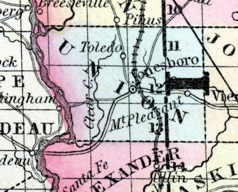
UNION COUNTY, situated on the southwesterly boundary of Illinois, with Mississippi river on the southwest. Area, 380 square miles. Seat of justice, Jonesborough. Pop. in 1820, 2,362; in 1830, 3,239; in 1840, 5,524; in 185O, 7,615. (Fanning's, 1853)
UNION COUNTY, A county near the southern extremity of the state, has an area of about 320 square miles. The Mississippi river forms its western boundary, and the county is drained by Clear creek. The surface is diversified, and in some hilly parts the soil is fertile. Indian corn, wheat, oats, cattle and pork are the staples. It contains twenty seven churches, one newspaper office, and about 1,400 pupils attending public schools. This county is rich in minerals, among which are iron, lead, stone, coal, chalk, porcelain clay, alum and copperas. Saltpetre caves are numerous. The lead mines have not been explored; the beds of coal and porcelain are extensive. The route of the Central Railroad passes through the county. Capital, Jonesborough. Population, 10,106. (Hawes' Illinois State Gazetteer..., 1859)

