WAYNE COUNTY, situated on the southeasterly boundary of Michigan, with St. Clair lake and St. Clair river on the east. Area, 600 square miles. Face of the country, even; soil, productive. Seat of justice, Detroit. Pop. in 1820, 3,574; in 1830, 6,781; in 1840, 24,173; in 1850, 12,756. (Fanning's, 1853)
All States // Missouri // Illinois // Iowa
Displaying 751 - 800 of 1183
State: Michigan
Wyandot County was annexed to Cheboygan County in 1853. The 1857 maps do not yet reflect this.
State: Missouri
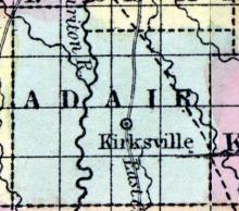
ADAIR COUNTY, in the northern part of Missouri, and traversed by Chariton river. Area --- square miles. Courts are held at Kirksville. Pop.,in 1850, 2,342. (Fanning's, 1853)
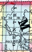
ALBANY The county seat of Gentry county, is beautifully situated on Grand river, about 325 miles from St. Louis. A post office was established here about twelve years ago. There are seven stage routes running from this place, viz.: To St. Joseph 50 miles; Kingston, 60 miles; Princeton, 45 miles; Linda, 80 miles; Winterset, 100 miles; Rosehill, 20 miles; and Philander, 10 miles.
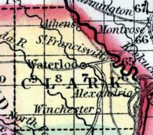
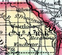
ALEXANDRIA, a post town of Clark County, Vernon Township, situated on the Mississippi and Des Moines Rivers, 15 miles from Waterloo, the county seat, 200 miles from St. Louis, and 150 miles from Jefferson City. It was first laid out in 1838-39, by Dr. Mitchell, the post office being established in 1840 or 1841.
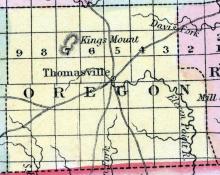
Laid out in 1859. Replaced Thomasville as county seat.
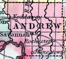
ANDREW COUNTY, situated in the northwest part of Missouri, with Nodaway and Missouri rivers on the west. Area -------- square miles. Courts are hold at Savannah. Pop., in 1850, 9,433. (Fanning's, 1853)
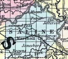
ARROW ROCK, A post town of Saline county, Arrow Rock township, situated on the Missouri river, 18 miles from Marshall, the county seat, 250 miles by river from St. Louis, and 60 to Jefferson City, was first settled in the year 1801, by A. Benware and B.
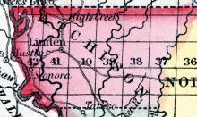
ATCHISON COUNTY, situated in the extreme northwest angle of Missouri, between Missouri and Nodaway rivers. Area --------- square miles. Courts are held at ----------- . Pop., in 1850, 1,687. (Fanning's, 1853)
ATHENS, A post village of Clark county, situated on the Desmoines river and on the line of the Keokuk and Ft. Desmoines and Minnesota Railroad, 10 miles from Waterloo, the county seat, 210 from St.
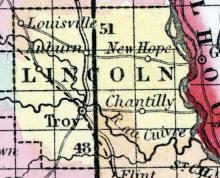
AUBURN, A post village of Lincoln county, Union township, situated on the Cuivre river, 11½ miles from Troy, the county seat, 65 miles from St. Louis, and 135 from Jefferson City. There is a stage route to Troy, and another to Bowling Green, which is 20 miles distant. Auburn contains an Academy, a Masonic Lodge, viz: Auburn, No.
AUDRAIN COUNTY, situated toward the northeast part of Missouri, drained by the south fork of Salt river. Area, 435 square miles. Courts are held at Mexico. Pop. in 1840, 1,949; in 1850, 3,506. (Fanning's, 1853)
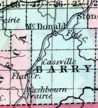
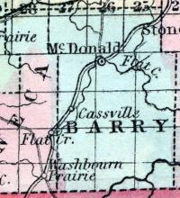
BARRY COUNTY, in the southwest of Missouri, and drained by White river and branches of the Osage. Area, 830 miles. Courts are held at McDonald. Pop. in 1836, 2,504; in 1840, 4,795; in 1850, 3,467. (Fanning's, 1853)
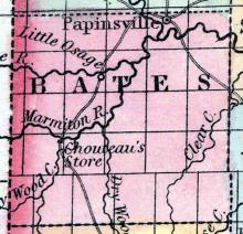
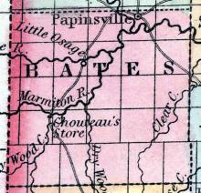
BATES COUNTY, situated on the westerly boundary of Missouri, and traversed by Osage river and tributaries. Area, 1,160 square miles. Seat of justice, Batesville. Pop. in 1850, 3,669. (Fanning's, 1853)
Note: Laid out in 1853. No longer appears on maps. Was known as "Belmont Landing" and was the site of an early Civil War battle in 1861.
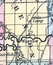
BENTON COUNTY, situated toward the westerly part of Missouri, and traversed by Osage river. Area, 1,050 square miles. Face of the country generally uneven, and the soil fertile. Seat of justice, Warsaw. Pop. in 1836, 1,512; in 1840, 4,205; in 1850, 5,015. (Fanning's, 1853)
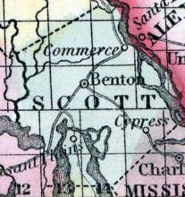
BENTON, a small post-village, capital of Scott county, Missouri, 240 miles E. S. E. from Jefferson City, has a court house, jail, and a few stores. (Baldwin's New and Complete Gazetteer of the United States..., 1854)
BENTON A post village of Scott county, 6 miles west of the Mississippi river, 170 miles south-east of Jefferson city. (Missouri State Gazetteer..., 1860)
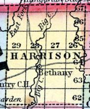
BETHANY.,The county seat of Harrison county, Bethany township, was first settled in the year 1845, by a party from Tennessee. It contains three churches, viz., Christian, Baptist and Methodist, one Masonic lodge, (Bethany No. 97.) Population about 800. County Judges: J. E. Roberts,E. S. Ellis, Willis Allen. Sheriff: John P. Devers. (Missouri State Gazetteer..., 1860)
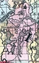
BLOOMFIELD, a post-village, capital of Stoddard county, Missouri, on Lick creek, a tributary of Lake Stoddard, 280 miles S. E. from Jefferson City. (Baldwin's New and Complete Gazetteer of the United States..., 1854
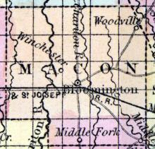
BLOOMINGTON, a post-village, capital of Macon county, Missouri, 106 miles N. by W. from Jefferson City, and 2 miles W. from the E. Fork of Chariton river, had, in 1850, 194 inhabitants. (Baldwin & Thomas, A New and Complete Gazetteer of the United States ...1854)
Note: Macon City replaced Bloomington as county seat in 1863.
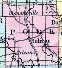
BOLIVAR, c.h., p.v., seat of justice of Polk co., Mo., 132 ms. s.w. of Jefferson City; from W. 1,068 ms. (Fanning's, 1853)
BOLIVAR A post village and the county seat of Polk county, situated on a tributary of Sac river, of the Osage, 90 miles south-west of Jefferson City. (Missouri State Gazetteer..., 1860)
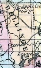
BOLLINGER COUNTY. This county is situated in the southeast corner of the State, and was created in 1850, principally from Cape Girardeau. The first settlement made in the territory now composing this county was in 1800 by North Carolinians. The general surface of the county is broken, but the land is fertile and well timbered.
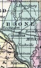
BOONE COUNTY, in the central part of Missouri, on the northeasterly side of Missouri river. Area, 600 square miles. Face of the country undulating. Soil, generally good. Seat of justice, Columbia. Pop. in 1830, 8,859; in 1840, 13,561; in 1850, 14,979. (Fanning's, 1853)
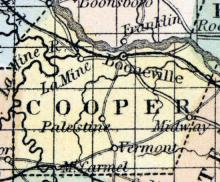
BOONVILLE, c.h., p.v., seat of justice of Cooper co., Mo., 50 ms. W. of Jefferson city; from W. 964 ms. Watered by Missouri river. Pop. 1,657. (Fanning's, 1853)
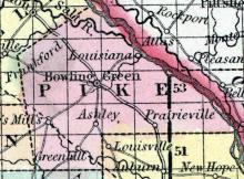
BOWLING GREEN, a post-village, capital of Pike county, Missouri, 76 miles N. E. from Jefferson City, is situated on an arm of Grand prairie. It has a court house, a newspaper office, and several stores. (Baldwin & Thomas, A New and Complete Gazetteer of the United States ... 1854)
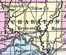
BRUNSWICK, p.v., Chariton co., Mo., 102 ms. N.W. of Jefferson City; from W. 996 ms. Watered by Missouri river. Pop. 1,595. (Fanning's, 1853)
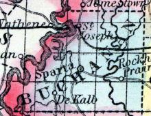
BUCHANAN COUNTY, situated on the westerly boundary of Missouri on the east side of Missouri river. Area, 800 square miles. Seat of justice, Sparta. Pop. in 1840, 6,237 ; in 1850, 12,975. (Fanning's, 1853)
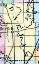
BUFFALO, a post-village of Dallas county, Missouri, a few miles W. from Niangua river. Its origin is very recent. (Baldwin & Thomas, A New and Complete Gazetteer of the United States ... 1854)
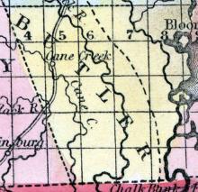
BUTLER COUNTY, situated on the south boundary of Missouri, and traversed by Big Black river. Area, -------- square miles. Seat of justice, Cane creek. Pop. in 1850, 1,616. (Fanning's, 1853)
BUTLER The county seat of Bates county, Mount Pleasant township, about 125 miles from St. Louis, was first settled by John E.Morgan,in 1851. The town contains one Christian church, one Masonic lodge, viz , Bates, No. 88, one Odd Fellows lodge, Butler, No. 122, one Academy, viz., “Butler Academy,” under the Superintendence of W. P. Greene, Esq., and an excellent institution in a prosperous condition, called the Bates County Agricultural and Mechanical Association, of which Col.
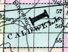
CALDWELL COUNTY, situated toward the northwest part of Missouri. Area, -------- square miles. Seat of justice, Kingston. Pop. in 1840, 1,458; in 1850, 2,316. (Fanning's, 1853)
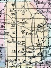
CALEDONIA, A post town of Washington county, Belleview township, situated in the midst of a beautiful valley, embraced as it were in the arms of the Ozark mountains, between Big river and Cedar creek. The Iron Mountain Railroad runs within a distance of seven miles. The town is 12 miles south of Potosi, the county seat; 80 miles from St. Louis and 124 miles from Jefferson City. It was first settled by Messrs.
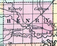
CALHOUN A post village of Henry county, Tabo township, situated on Tabo creek, 12 miles from Clinton, the county seat, 210 miles from St. Louis, and 90 miles from Jefferson City. A stage line runs to Georgetown, 31 miles distant, and one to Clinton, 12 miles. The post office has been established about 30 years. The village contains one Male and Female Seminary, one Masonic lodge, viz., Grover Lodge, No.
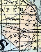
CALIFORNIA The county seat of Moniteau county, Walker township, is situated on the Pacific railroad, 152 miles from St. Louis and 253 miles from Jefferson City. The town was first laid out by Alfred Byler, and the post office established 21 years ago. It contains one Methodist and one Baptist Church, a Seminary in successful operation, one Masonic lodge, viz., California, No. 183, and the Moniteau Lodge, No. 80, I. O. O. F. It affords one newspaper, published weekly by C. P.
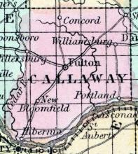
CALLAWAY COUNTY, situated in the central part of Missouri, on the northerly side of Missouri river. Area, 760 square miles. Seat of justice, Fulton. Pop. in 1840, 11,765; in 1850, 13,827. (Fanning's, 1853)
CAMDEN CITY A post town of Ray county, Camden township, situated on the Missouri river, seven miles from Richmond, the county seat, 250 miles from St. Louis, and 125 from Jefferson City, was first settled about thirty years since. The post office has been established twenty years. The town contains one Masonic lodge, viz., Camden lodge, U. D., numbering fifteen members. One church occupied alternately by Baptists, Methodists and Reformers.
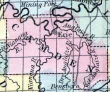
CAMDEN COUNTY, situated in the central part of Missouri, on the south side of Osage river. Area, ------- square miles. Seat of justice, Erie. Pop. in 1850, 2,338. (Fanning's, 1853)
CANTON, a post-village of Lewis county, Missouri, on the Mississippi river, 191 miles above St. Louis, is one of the principal shipping points of the county. It contains 1 church, several schools, 1 printing office, 1 steam-mill. Population, 400. (Baldwin & Thomas, A New and Complete Gazetteer of the United States ... 1854)
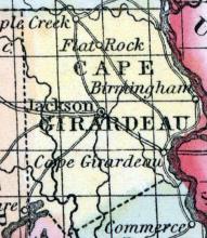
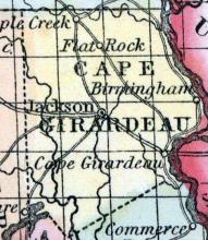
CAPE GIRARDEAU COUNTY, situated In the southeast part of Missouri, on the westerly side of Mississippi river. Area, 864 square miles. The face of the country is generally level, a part of which is subject to annual inundation. Soil fertile. Seat of justice, Jackson. Pop in 1820, 5,968; in 1830, 7,430; in 1840, 9,359; in 1850; 13,912. (Fanning's, 1853)
CAPE GIRARDEAU, p.v. Cape Girardeau co., Mo., 207 ms. S.E. of Jefferson City; from W. 850 ms. Watered by Mississippi river. (Fanning's, 1853)
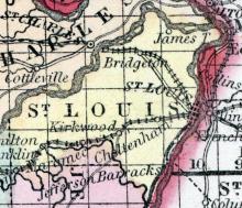
CARONDELET An important town of St. Louis county, situated on the Mississippi river and on the line of the Iron Mountain Railroad, 6 miles from St. Louis. This town was first settled by the French about fifty years ago, and derives its name from one of its early settlers, Baron DeCarondelet. Up to the last few years, Carondelet has been peopled almost entirely by French and Germans, and very little progression had been made either in improvements or increase of population.
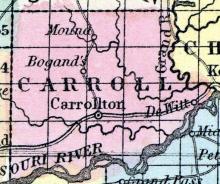
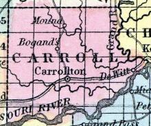
CARROLL COUNTY, situated toward the westerly part of Missouri, on the north side of the Missouri river. Area, 700 square miles. Seat of justice, Carrollton. Pop. in 1840, 2,423; in 1850, 5,441. (Fanning's, 1853)
CARROLLTON, c. h., p. v., seat of justice of Carroll co., Mo., 124 ms. N. W. of Jefferson city; from W. 1,018 ms. Watered by Waconda creek. (Fanning's, 1853)
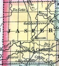
CARTHAGE, c.h., p.v., seat of justice of Jasper co., Mo. (Fanning's, 1853)
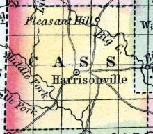
CASS COUNTY, situated on the west boundary of Missouri. Area, -------- square miles. Seat of justice, Harrisonville. Pop. in 1850, 6,090. (Fanning's, 1853)
CASSVILLE, a small post-village, capital of Barry county, Missouri, on the road from Jefferson City to Fayetteville, Arkansas, 200 miles S. W. from the former. Laid out in 1846. Population, about 400. (Baldwin's New and Complete Gazetteer of the United States..., 1854)
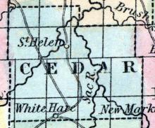
CEDAR COUNTY, situated toward the southwest part of Missouri. Area, -------- square miles. Seat of justice, Fremont. Pop. in 1850, 3,361. (Fanning's, 1853)

