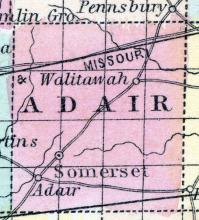
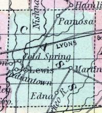
ADAIR COUNTY is situated in the south-western part of Iowa being the third county east of the Missouri River, and the third north of the State of Missouri. It is bounded on the north by Guthrie, on the east by Madison, on the south by Union and Adams, and on the west by Cass. The Grand Divide, or the high land dividing the waters of the Missouri from the waters of the Mississippi, passes through the eastern portion of the county. The land is undulating, and mostly rolling prairie.
All States // Missouri // Illinois // Iowa
Displaying 1 - 50 of 210
State: Iowa
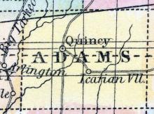
ADAMS, a county in the S. W. part of Iowa, has an area of 432 square miles. It is intersected by the Nodaway river, which flows south-westward, and also drained by several of its head streams. This county is not included in the census of 1850, and the county seat is not yet located. (Baldwin's New and Complete Gazetteer of the United States..., 1854)
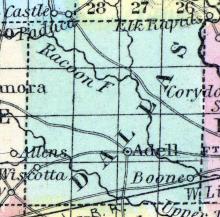
ADELL(sic), a post-village, capital of Dallas county, Iowa, 150 miles W. from Iowa City. (Baldwin's New and Complete Gazetteer of the United States..., 1854)
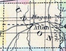
AFTON, the county seat [of Union County, Iowa], is situated northeast of the centre of the county, near Grand River. It has a good court house, three general stores, one drug store, one hardware, stove, and tin store, three groceries and one jeweler. Population about 400. (Hair's Iowa State Gazetteer..., 1865)
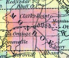
ALBIA, a new and thriving town, capital of Monroe county, Iowa, about 90 miles W. P. W. from Iowa city, and about 30 miles from Oskaloosa. It is situated in a fertile farming district, diversified by prairies and woodlands. Population, about 500. (Baldwin's New and Complete Gazetteer of the United States..., 1854)
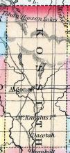
ALGONA, the county seat, is on the east fork of the Des Moines river, on a beautiful site partly surrounded by timber, and with a wide expanse of the best quality of prairie east and west of it. It contains three churches, Baptist, Congregational and Methodist; also one flour mill, two saw mills, one general store and one grocery. Population 250, of township 400. (Hair's Iowa State Gazetteer..., 1865)
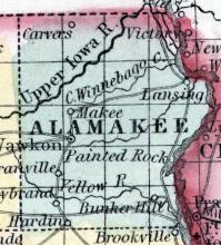
ALAMAKEE(sic) COUNTY Is bounded on the east by the Mississippi River. It is the extreme N. E. county of the State. The first settlements made by whites were in 1850. The present population of the county numbers some 5000.
One church, erected by the Congregationalists in Wawkon, and one in Lansing, are the only houses of worship we hear of in the county. The several Christian denominations have organized societies, and many of them are preparing to build this year.
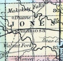
ANAMOSA is an incorporated town and the county seat of Jones county. It is located at the confluence of Buffalo Creek with the Wapsipinicon. The Buffalo is a stream of some forty miles in length, furnishes many good mill sites in its course, and is for many miles up well wooded. Its Indian name was Paw-cau-law-quickee, meaning Black Walnut River. The DuBuque Southwestern Railroad, opened for travel in 1859, passes through this place, and is the chief means of transportation.
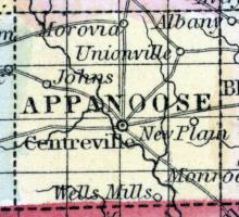
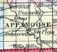
APPANOOSE COUNTY, situated on the south boundary of Iowa. Area ------ square mile. Courts are held at Centreville. Pop., in 1850, 3,131. (Fanning's, 1853)
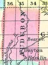
AUDUBON, a new county towards the S. W. part of Iowa, has an area of about 630 square miles. It is traversed by the Nishnabatona river, an affluent of the Missouri. This county is not included in the census of 1850, and has few if any inhabitants. Named in honor of John J. Audubon, the distinguished ornithologist. (Baldwin's New and Complete Gazetteer of the United States..., 1854)
BATAVIA is a small village on the Burlington & Missouri River Railroad, twelve miles west of Fairfield, and is pleasantly situated on a prairie gradually inclining to the south. It contains one church, Methodist Episcopal, and three general stores. Population, 150. (Hair's Iowa State Gazetteer..., 1865)
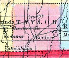
BEDFORD the seat of justice of Taylor County, was located in March, 1852, by commissioners appointed for that purpose, by an act of the General Assembly of the State of Iowa. It is situated on the southwest quarter of the southwest quarter of section twenty-six, township 68, north of range 34 west, and on the west side of the river, 102. The ground on which it is situated, is a piece of second bottom land, very convenient to water and stone, and surrounded by beautiful farm land.
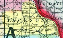
BELLEVUE, the seat of justice of Jackson county, is situated on the Mississippi river, twelve miles due south of the city of Galena ; the town site is upon an elevated plateau of land about fifteen feet above high water mark; it is surrounded by an amphitheatre of hills, mostly covered with timber, which break off the severe cold winds of winter, and prevent the temperature from falling as low by several degrees, as a few miles distant upon the ridges.
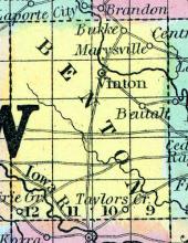
BENTON COUNTY, situated toward the easterly part of Iowa, and traversed by Cedar river. Area, 660 square miles. Seat of justice, Vinton. Pop. in 1850, 672. (Fanning's, 1853)
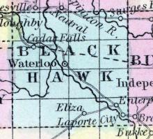
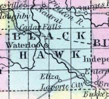
BLACK HAWK COUNTY, situated toward the northeast part of Iowa, and traversed by Cedar and Black Hawk rivers. Area, 625 square miles. Cedar Falls is the chief town. Pop in 1850, 135. (Fanning's, 1853)
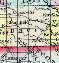
BLOOMFIELD, the capital of Davis county, Iowa, 95 miles S. W. from Iowa City, is situated on a fine rolling prairie, and is the principal town in the county. It is surrounded with land of great fertility, which is rapidly filling up with settlers. (Baldwin's New and Complete Gazetteer of the United States..., 1854)
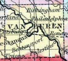
BONAPARTE, a thriving post-village of Van Buren county, Iowa, on the river Des Moines, about 35 miles N. W. from Keokuk. It is situated in a rich farming district, and has several stores and a large mill. (Baldwin's New and Complete Gazetteer of the United States..., 1854)
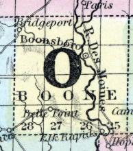
BOONE COUNTY, in the central part of Iowa and traversed by Des Moines river. Area, 600 square miles. Seat of justice, Booneville. Pop. in 1850, 735. (Fanning's, 1853)
BOONSBORO At the time of the organization of the county [Boone County, Iowa], there was not a town in it. The commissioners fixed upon the house of John M. Crooks as the temporary county seat, and continued to use the same for that purpose for about two years. Crooks' house was a log cabin of the most primitive structure, situated on the farm, now owned by Michael Myers, and about 1-1/2 miles south-east of Boonsboro.
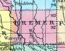
BREMER, a new county in the N. E. central part of Iowa, has an area of 430 square miles. It is intersected by the Cedar, Wapsipinicon, and English rivers, which flow in a south-easterly direction. The county is said to contain good land, well supplied with water and timber; the climate is healthy. This county is not included in the census of 1850. County seat not located.
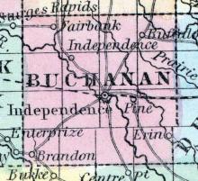
BUCHANAN COUNTY, in the easterly part of Iowa. Area, ------ square miles. Seat of justice, Independence. Pop. in 1850, 517. (Fanning's, 1853)
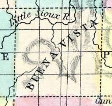
BUENA VISTA, a new county in the N. W. part of Iowa, has an area of 623 square miles. It is intersected by the Little Sioux river, and also drained by several of its small tributaries. This county is not included in the census of 1850. County sent not located. Named from a battle-field of Mexico, where General Taylor won a great victory over Santa Anna, February 22, 1847. (Baldwin's New and Complete Gazetteer of the United States..., 1854)
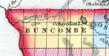
BUNCOMBE, a county in the N. W. part of Iowa, bordering on Minnesota, has an area of about 800 square miles. It is bounded on the W. by the Sioux river, and intersected by Inyan Reakah river, and also drained by one of its tributaries. Ocheyedan lake, the source of the river of the same name, is situated in the E. part of the county. Buncombe county is not included in the census of 1850.
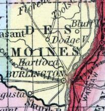
BURLINGTON, p. v., formerly the capital, and the largest town in Iowa, and the seat of justice of Des Moines county, occupies a pleasant slope on the west bank of the Mississippi, 75 miles southeast of Iowa city, 248 ms. N. of St. Louis, 1,429 ms. N. of New Orleans, and 871 ms. from W. Pleasant hills and woody slopes rise behind the city, and enhance the effect of its other advantages.
BUTLER CENTRE is the county seat [Butler County, Iowa], and is situated on the stage route, from Cedar Falls to Hampton, 15 miles north-west of Cedar Falls. It contains a Presbyterian Church and one general store. The Stars and Stripes, a weekly, is published by Martin Baily. Population, 390. (Hair's Iowa State Gazetteer..., 1865)
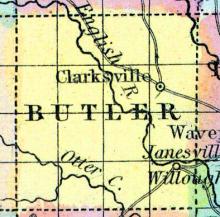
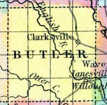
BUTLER, a new county in the N. K. central part of Iowa, has an area of 576 square miles. It is intersected by English river, and also drained by Pipe and Otter creeks. It contains extensive prairies, mostly uncultivated. This county is not included in the census of 1850. County seat not located. (Baldwin's New and Complete Gazetteer of the United States..., 1854)
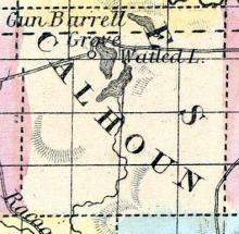
CALHOUN COUNTY This county was organized in 1855, and is situated in the western interior of the State, in the fourth tier of counties from the northern boundary of the State, and the fourth from the Missouri River. It is bounded on the north by the County of Pocahontas, east by Webster, south by Greene and Carroll, and west by Sac.
County seat moved to Orange City in 1872. Calliope is now part of Hawarden, Iowa.
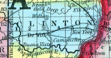
CAMANCHE, c. h., p. v., seat of justice of Clinton co Iowa, 60 ms. E. of Iowa city; from W. 912 ms. Watered by the Mississippi river. Pop. 454. (Fanning's, 1853)
CAMANCHE, a thriving post-village of Clinton county, Iowa, on the Mississippi river, 40 miles above Davenport. It is the shipping point for the produce of the vicinity. (Baldwin's New and Complete Gazetteer of the United States..., 1854)
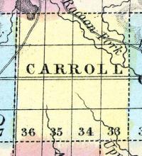
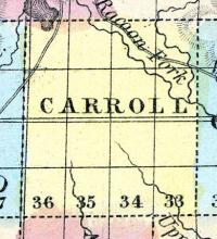
CARROLL COUNTY Was to have been organized in March of the present year. The present population of the county is but about 150. Water-power, timber lands, and the best of prairie soil, with inexhaustible beds of building-stone, coal, and iron, are some of the inducements Carroll County holds out to new-comers.
CARROLLTON, the county seat, is in the south-eastern part of the county, forty-five miles west of Boonsboro, the present terminus of the Cedar Rapids and Missouri River R. R., and seventy-five miles north-west of DesMoines. It contains three churches, Methodist, Presbyterian and Episcopal, and one lodge of Masons; also, one flour mill, two saw-mills and two general stores. The soil of the surrounding country is well adapted to the different cereals and to stock growing.
CASS COUNTY, IA, c. h. at Logansport. N. central. Watered by the Wabash and Eel Rivers, which afford fine mill privileges. Surface mostly level. The Wabash and Erie Canal traverses this county. (Gazetteer of the United States of America, 1854)
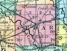
CEDAR COUNTY, situated in the eastern part of Iowa, and traversed by Cedar river. Area, ----- square miles. Seat of justice Tipton. Pop. in 1840, 1.253; in 1850, 3,941. (Fanning's, 1853)
CEDAR FALLS is situated on the west bank of the Cedar River, one hundred miles due west from DuBuque, on the line of the DuBuque and Sioux City Railroad. Its population at present is 2,613 and it possesses all the natural advantages which are required to make it one of the largest and most thriving towns to Northern Iowa.
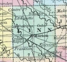
CEDAR RAPIDS, Io., Linn co. On Cedar River, the northern fork of the Iowa. (Gazetteer of the United States of America, 1854)
CENTREVILLE, the county seat [Appanoose County, Iowa], is located on Sec. 36, in township 69, N. of Range 18 W. It is an incorporated town of about 1,200 inhabitants. It has no railroad or river facilities for transportation at this time, though it is expected that the Nebraska City & Iowa State Line Railroad will soon be completed to this point. It is about thirty-five miles from Ottumwa, the nearest present shipping point.
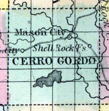
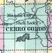
CERRO GORDO, a new county in the northern part of Iowa, has an area of 625 square miles. It is drained by Lime creek, a branch of English river, and its tributaries. This county is not included in the census of 1850. County seat not located.
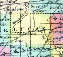
CHARITON, a post-village of Lucas county, Iowa, about 110 miles W. S. W. from Iowa City. (Baldwin's New and Complete Gazetteer of the United States..., 1854)
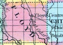
CHARLES CITY is the county seat [Floyd County, Iowa], and is beautifully situated on Cedar river, on the stage route from Cedar Falls to Mitchell.
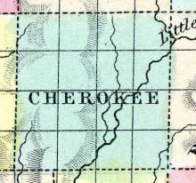
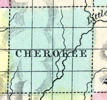
CHEROKEE, a new county in the W. N. W. part of Iowa, has an area of 625 square miles. It is intersected by the Little Sioux river, and also drained by two small affluents of that stream, and by a tributary of Floyd's river, which itself flows into the Missouri. This county is not included in the census of 1850. County seat not located. (Baldwin's New and Complete Gazetteer of the United States..., 1854)
CHEROKEE is the county seat [Cherokee County, Iowa], and is situated on the Little Sioux River, 80 miles west of Fort Dodge, and 55 miles east of Sioux City. The land is rolling prairie, and adapted particularly to stock raising. The Little Sioux affords a good water-power at this place. There is here one saw mill. Cherokee has been a military post since the fall of 1861. Population of township, 75. (Hair's Iowa State Gazetteer..., 1865)
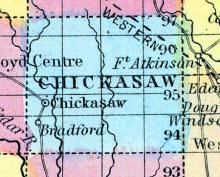
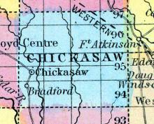
CHICKASAW COUNTY. Three years ago Chickasaw County had not a single white resident — now the population of the county exceeds 1000. In 1853, Rufus Clark, a famous trapper and hunter, a native of Ohio, settled in the vicinity of the present Bradford P. O., which is in the neighbourhood of the junction of the Little and the Big Cedar Rivers. The population of Bradford now is 300. One district school with an average attendance of 70 scholars.
CHICKASAW is situated on the south-western part of the county, about three miles north of Bradford, near the east bank of the Little Cedar. It contains four general stores, one flour mill, two steam saw-mills, one hotel, one Baptist and one Presbyterian Church. (Hair's Iowa State Gazetteer..., 1865)
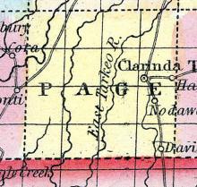
CLARINDA is in the eastern central portion of the county [Page], on Nodaway River. It is laid out in the form of a square, around which are most of the business houses. It contains several churches, a very fine graded school building, which would do honor to a much larger place, an extensive woolen factory, a flour mill, a plow factory, three drug stores, seven general stores, four groceries and two hardware stores, besides many mechanical shops.
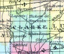
CLARKE, a county in the S. part of Iowa, has an area of 432 square miles. The South river and Whitebreast river, affluents of the Des Moines, rise by several branches in this county; it is also drained by the E. fork of Grand river, which flows southward into Missouri. The surface is slightly diversified; the soil is fertile, adapted to grain, fruit, and grass. A large part of the county is prairie. Named in honor of James Clarke, governor of Iowa in 1846.
CLARKSVILLE, the largest village in the county [Butler County, Iowa], is situated on the Shell Rock River, 25 miles north-east of Cedar Falls, at which place is situated the Clarksville Institute, an institution of learning, fast gaining a reputation as one of the best institutions in the State. It contains two churches, Methodist and Presbyterian, also a lodge each of Masons and Good Templars. It has two general stores, two drug stores, one grocery, one flour mill and two saw mills.
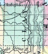
CLAY COUNTY Was organized in 1858, and is situated in the northwestern interior of the State, in the second tier from the Minnesota line, and third east from the Mississippi River. It is twenty-four miles square, and is bounded on the north by Dickinson, east by Palo Alto, south by Buena Vista, and west by O'Brien county. The surface is principally prairie, and is watered by the Little Sioux River and its tributaries, which flow through mostly in a southerly direction.
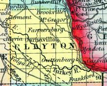
CLAYTON COUNTY, Iowa. Situated in the N. part of the Ter., and contains about 720 sq. ms. Drained by Turkey r. Navigable by steamboats to the junction of Volga r. These rivers afford good water power. Buck cr., Inymagill cr., Bloody run and Yellow r. flow into the Mississippi r., in its N. part. Some lead mines have been found. The land on Turkey r. is excellent. Capital, Prairie la Porte. There were in 1840, neat cattle 1,011, sheep 66, swine 941; wheat 1596 bush.produced, Ind.
CLEAR LAKE, is situated on a beautiful lake of the same name, 10 miles west of Mason City. It has two churches, Methodist and Congregational, also, Benevolence Lodge, No. 145, A. F. & A. M. There are here two saw mills; one general store; and one grocery. Population about 150.

