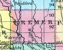
WAVERLY.—This is an incorporated town, and is located in the southwest corner township of Bremer county, and is the present terminus of the Cedar Falls & Minnesota Railroad, which furnishes ample means for transporting the rich products of the Cedar valley to market, and returning in their stead the many articles of comfort and convenience demanded by the wants of the rapidly increasing population of northern Iowa.
All States // Missouri // Illinois // Iowa
Displaying 201 - 210 of 210
State: Iowa
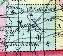
WAYNE, a county in the S. part of Iowa, bordering on Missouri, has an area of 500 square miles. It is drained by the S. fork of Chariton river, and by the sources of Medicine and Locust creeks, which flow southward. This county is said to be fertile and well watered, but deficient in timber. Indian corn, oats, and butter are the staples. In 1850, it produced 14,415 bushels of corn; 3126 of oats, and 2940 pounds of butter. The S.
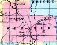
WEBSTER, a new county of Iowa, comprising the late counties of Risley and Yell. It lies a little N. and W. of the central part of the state, and is 48 miles long, and 24 wide, with an area of 1150 square miles. It is drained by the Des Moines river, and the Ligard and Boone branches of the same stream. The centre of the county is about 145 miles N. W. from Iowa city.
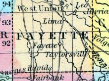
WEST UNION, a thriving post-village, capital of Fayette co., Iowa, 60 miles N. W. from Dubuque, and 40 miles W. from Clayton, the nearest landing on the Mississippi. (Baldwin's New and Complete Gazetteer of the United States..., 1854)
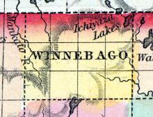
WINNEBAGO, a new county in the N. part of Iowa, bordering on Minnesota, has an area of about 430 square miles. It is drained by the head waters of the Mankato and Tewapa Tankiyan rivers, tributaries of St. Peter's river. This county is not included in the census of 1850. County seat not located. (Baldwin's New and Complete Gazetteer of the United States..., 1854)
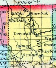
WINNESHEIK, a new county in the N. N. E. part of Iowa, bordering on Minnesota, has an area of about 600 square miles. It is intersected by the Upper Iowa and the North fork of Turkey river, affluents of the Mississippi. This county is represented as well watered and well timbered; the soil is particularly adapted to grazing. Named from a chief of the Winnebago Indians.
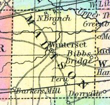
WINTERSET, a post-village, capital of Madison county, Iowa, on the road leading from Fort Des Moines to Council Bluffs, 150 miles W. by S. from Iowa City. (Baldwin's New and Complete Gazetteer of the United States..., 1854)
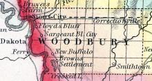
WOODBURY COUNTY Was organized in 1853, and is in the western tier of counties, and the fourth from the north line of the State. It is bounded on the north by Plymouth County, on the east by Ida, on the south by Monona, and on the west by the State of Nebraska. It is one of the largest counties in the State being twenty-four miles wide and forty miles long. The Little Sioux River passes through the eastern part, its west fork through the central portion.
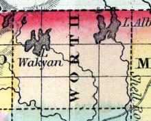
WORTH, a new county in the N. part of Iowa, bordering on Minnesota, has an area of about 430 square miles. It is drained by Lime and Shell Hock creeks, branches of English river, which rise in two small lakes in the northern part of the county. It is not included in the census of 1850. County seat not located. (Baldwin's New and Complete Gazetteer of the United States..., 1854)
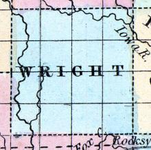
WRIGHT, a new county towards the N. part of Iowa, has an area of 676 square miles. It is intersected in the E. by the Iowa river, and in the W. by Boone river. This county is not included in the census of 18-50. Named in honor of Silas Wright, of New York. County seat not located. (Baldwin's New and Complete Gazetteer of the United States..., 1854)

