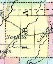
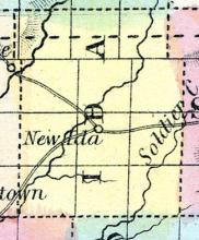
IDA, a new county in the W. N. W. part of Iowa, has an area of about 400 square miles. It is traversed by the Inyan Yanky. or Little Sioux river, an affluent of the Missouri. It is not included in the census of 1850. County seat not located. (Baldwin's New and Complete Gazetteer of the United States..., 1854)
All States // Missouri // Illinois // Iowa
Displaying 101 - 150 of 210
State: Iowa
IDA, the county seat, is near the centre of the county on Maple River. (Hair's Iowa State Gazetteer..., 1865)
Now named Ida Grove, Iowa.
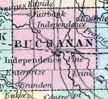
INDEPENDENCE, a post-village, capital of Buchanan county. Iowa, on the Wapsipinicon, about 75 miles N. N. W. from Iowa City. Its origin is very recent. (Baldwin's New and Complete Gazetteer of the United States..., 1854)
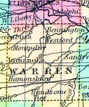
INDIANOLA, a post-village, capital of Warren county, Iowa, 135 miles W. by S. from Iowa City. The county has a fertile soil, and contains extensive beds of stone coal. (Baldwin's New and Complete Gazetteer of the United States..., 1854)
IOWA CITY, p-v., capital of Johnson co. and of the ter. of Iowa, 33 w. n. w. Bloomington, 86 s. s. w. Du Buque, 75 N. by w. Burlington. Situated on the s. bank of Iowa r., which is navigable for boats to this place at all stages of the water. The water of the r. is clear and pure, the banks are high and dry, and the neighborhood furnishes fine building stone and excellent timber. This place was the hunting ground of the Indian until 1839.
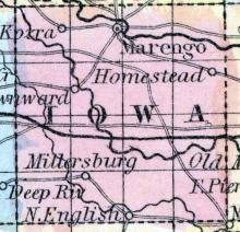
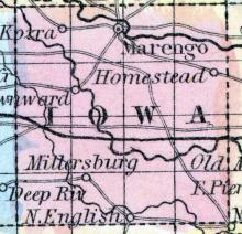
IOWA, a new county in the S. E. central part of Iowa, has an area of 576 square miles. The Iowa river, from which the name is derived, flows eastward through the northern part, and the North fork of English river traverses the southern part of the county. The principal streams, besides these, arc Beaver, Oldman's, and Richmond creeks. The county is said to have a fertile soil, a healthy climate, and good timber.
IOWA FALLS is in the northern part of the county, on the Iowa River, and on the DuBuque and Sioux City R. R., 16 miles northwest of Eldora. It contains four churches, Baptist, Congregational, Methodist and Presbyterian; also one flouring mill, two saw mills, five general stores, one grocery store, one hardware store, one drug store, and two brick manufactories. The advantages of Iowa Falls as a manufacturing town are very superior, as it possesses an almost unlimited supply of water power.
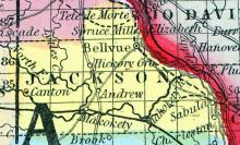
JACKSON, county, Iowa. Situated toward the N. E. part of the ter., and contains 628 sq. miles. The Mississippi runs on its E. border. Drained by Macoquetais r. and its branches. It has great mineral riches, containing iron ore, copper, tin, sine, gypsum, and porcelain clay. The soil is fertile, and it is well supplied with pure water. Capital, Bellevue. There were in 1840, neat cattle 1,612, sheep 248, swine 4,676; wheat 6,199 bushels produced, Ind.
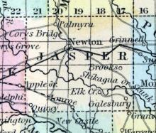
JASPER, a county in the central part of Iowa, has an area of 720 square miles. It is traversed by Skunk river and its North fork, which flow south-eastward. The surface is undulating, or nearly level; and the soil productive. The prairies of this county are large, and timber is deficient in some parts; but stone coal is abundant. Indian corn and butter are the staples.
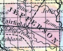
JEFFERSON, a county in the S. E. part of Iowa, has an area of 432 square miles. It is intersected by Big Cedar creek, and the N. E. part is drained also by Skunk river and by Warrior creek. The surface is diversified by rolling prairies, and by forests of oak, hickory, ash, maple, &c. The soil is good, well-watered, and easily cultivated. Wheat, Indian corn, oats, grass, cattle, and swine are the staples.
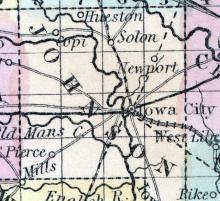
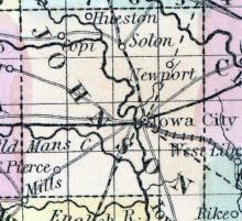
JOHNSON, county, Iowa. Situated in the w. part of the ter., and contains 610 sq. ms. The surface is uneven; soil, fertile. Watered by Iowa r. and its branches. Capital, Iowa city. There were in 1810, neat cattle 987, sheep 44, swine 1,075; lnd. com 10,700 bush, produced, potatoes 2,400; 4 stores, cap. $7,000; 2 saw m. Cap. in manufac. $3,000. Pop. 1,491. (Haskell's Complete Descriptive and Statistical Gazetteer of the the United States...,1840)
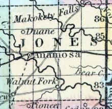
JONES, county, Iowa. Situated a little N. of the centre of the ter., and contains 576 sq. miles. Watered by Wapsipinecon r., and Makoqueta r., and their branches. The surface is gently undulating, having extensive prairies, and the soil is fertile. Capital, Edinburg. There were in 1840, neat cattle 609, sheep 65, swine 1,502; wheat 3,537 bush, produced, Indian corn 14,856, oats 2,286, potatoes 7,333; 2 grist m., 2 saw m. Cap. in manufac. $4,300. Pop.
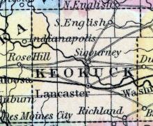
KEOKUK, a county in the S. E. part of Iowa, has an area of 576 square miles. It is traversed by Skunk river, and its N. and S. forks, which flow nearly eastward, and unite in the S. E. part of the county; and the S. fork of English river intersects the N. part. The soil is productive, and adapted to grain and grass. The county contains numerous prairies, alternating with groves of hard timber.
KEOKUK, a flourishing town of Iowa, and semicapital of Lee county, is situated at the foot of the "Lower Rapids" of the Mississippi river, 205 miles above St. Louis, and 125 miles S. from Iowa City. It is at the head of navigation for the larger class of steamers, and the natural outlet of the fertile valley of the Des Moines, which is the most populous part of the state. A line of splendid steam-packets communicates daily between Keokuk and St. Louis.
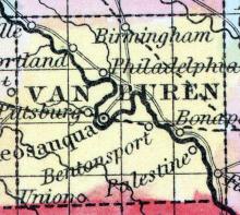
KEOSAUQUE, a flourishing post-village, capital of Van Buren county, Iowa, on the left bank of the Des Moines river, 78 miles S. by W. from Iowa City. It is surrounded by a rich farming district, in which many improvements have been made, and has an active trade. A bridge has been built across the river, which is here about 800 feet wide. Keosauque has mills of various kinds, moved by water and by steam-power.
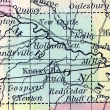
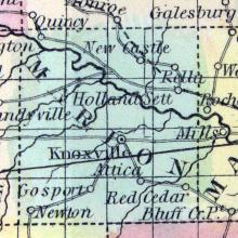
KNOXVILLE, a thriving post-village, capital of Marion county, Iowa, 100 miles W. S. W. from Iowa City. The railroad which is projected from Davenport to Council Bluff is expected to pass through this place. (Baldwin's New and Complete Gazetteer of the United States..., 1854)
KOSSUTH, a new county in the N. N. W. part of Iowa, has an area of 576 square miles. It is intersected by a large branch of the Des Moines river, which itself traverses the S. W. part of the county. It is not included in the census of 1850. County seat not located. Named in honor of the renowned Hungarian patriot, Louis Kossuth. (Baldwin's New and Complete Gazetteer of the United States..., 1854)
LAKE CITY, in the southern interior of the county [Calhoun County, Iowa] is the present seat of justice. (Hair's Iowa State Gazetteer..., 1865)
Note: County seat moved to Rockwell City, Iowa in 1870.
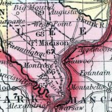
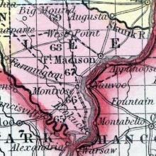
LEE, a county forming the S. E. extremity of Iowa, bordering on Missouri and Illinois, has an area of 480 square miles. It is situated at the confluence of the Mississippi and Des Moines rivers, which respectively form the boundaries of the county on the S. E. and S. W.; the Skunk river forms its N. E. boundary; the county is also drained by Sugar and Halfbreed creeks.
LEON the county-seat [Decatur County], is situated two miles due east of the centre of the county, within half a mile of an extensive body of excellent timber. The town was located in 1853, present population 250. The last session of the Legislature changed the name of this town to "Leon"; the Post Office yet bears the original name, "South Independence." (Iowa As It Is in 1855; A Gazetteer for Citizens..., 1855)
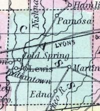
LEWIS, the county seat of Cass county, is situated on the east side of the Nishnabotany River, and at the junction of the two great wagon routes across the State. The nearest shipping point is Council Bluffs, on the Missouri River, fifty miles west, but the great number of emigrants that yearly pass through, on their way to Colorado, California, Idaho, &c., makes a ready market for all kinds of produce. The town was laid out in February, A. D., 1854, by David Chapman, surveyor.
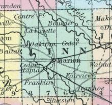
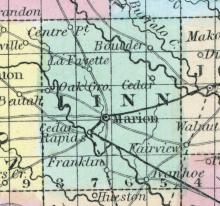
LINN COUNTY, situated toward the east part of Iowa. Area, 720 square miles. Seat of justice, Marion. Pop. in 1840, 1,373 ; in 1850, 5,444. (Fanning's, 1853)
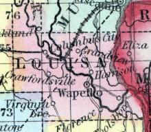
LOUISA, a county in the E. S. E. part of Iowa, has an area of 400 square miles. The Mississippi river forms its entire eastern boundary, and the Iowa river flows through the middle of the county, which is drained also by Long creek. The soil and timber are said to be good. Corn, wool, and butter are the staples. In 1850 this county produced 379,449 bushels of Indian corn; 49,713 of wheat; 11,681 pounds of wool, and 89,642 of butter.
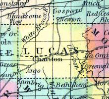
LUCAS, a new county in the S. part of Iowa, has an area of 430 square miles. Whitebreast river, an affluent of Des Moines, flows through the county in a N. E. direction; the Chariton river, an affluent of Missouri, traverses the S. part; the county is also drained by English and other creeks. The surface is diversified with rolling prairies, and groves of hard timber; the soil is generally fertile, producing Indian corn, wheat, potatoes, grass, &c.
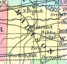
MADISON, county, la. Situated a little N. E. of the centre of the state, and contains 390 sq. ms. Drained by White r. and its branches, which afford water power. The surface is level, and the soil fertile. It has some wet prairies. Capital, Andersontown. There were in 1840, neat cattle 5,798, sheep 6,436, swine 21,579; wheat 46,991 bush, produced, rye 1,558, Indian corn 375,715, oats 60,867, potatoes 17,624, sugar 47,887 pounds; 2 stores, cap.
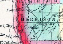
MAGNOLIA, is the county seat [Harrison County, Iowa] situated in the central portion of the county, nine miles from the Missouri River, and on the stage route from Council Bluffs to Sioux City. It has two churches, Congregational and Methodist, and Magnolia Lodge, No. 126, A. F. & A. M., also two general stores, one flour mill, one saw mill, one woolen factory and one tannery.
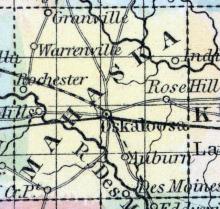
MAHASKA, a county in the S. E. central pint of Iowa, has an area of 576 square miles. The county is intersected by the DesMoines and by the North and South forks of Skunk river, which all flow in a S. E. direction. It is also drained by numerous creeks. The surface in some parts is level, and in others rolling, and is finely diversified with prairies and woodlands.
MARENGO, a post-village, capital of Iowa county, Iowa, on Iowa river, about 35 miles W. N. W. from the capital of the state. (Baldwin's New and Complete Gazetteer of the United States..., 1854)
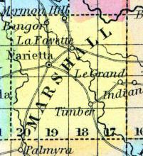
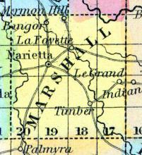
MARIETTA is in Marietta township, about six miles northwest of Marshalltown. It is situated on bottom land, about one-half mile south of the Iowa River. It is protected from high winds by the bluffs on the south and west, and on the north by the timber which skirts the Iowa. It has a population of about two hundred inhabitants. There are several dry goods and grocery stores in town, and most of the mechanical arts are carried on.
MARION COUNTY, situated in the central part of Iowa and traversed by Des Moines river. Area, ----- square miles. Seat of justice, Knoxville. Pop. in 1850, 5,482. (Fanning's, 1853)
MARION, a thriving post-village, capital of Linn co., Iowa, on the mail route from Dubuque to Iowa City, 80 miles N. from the latter. (Baldwin's New and Complete Gazetteer of the United States..., 1854)
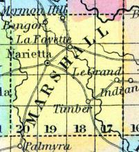
MARSHALL, a new county in the central part of Iowa, has an area of 676 square miles. It is traversed by Iowa river, flowing S. E., and also drained by Timber creek. The land is productive, and is said to be finely timbered with oak, ash, walnut, sugarmaple, &c. Indian corn and butter are the staples. In 1850, Marshall county produced 12,410 bushels of corn, and 4230 pounds of butter. Stone coal is found in the county.
MARSHALLTOWN is the county seat of Marshall County, and is an incorporated town. It is situated on the high prairie between the Iowa River and Linn Creek, near the centre of the county, on the south side of the river, about three-fourths of a mile from it, and about half a mile from Linn Creek. The site of the town is high, dry and and healthy.
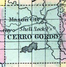
MASON CITY—The seat of justice for Cerro Gordo county, is located in the northern interior of the county, 110 miles west from the Mississippi River. It is on the line of the McGregor Western Railway, which has a flattering prospect of soon being completed to this point. At present it is connected by stage line with Cedar Falls on the DuBuque & Sioux City R. R. The village contains three church organizations, viz: Congregational, Methodist and United Brethren, and Lodge No. 143, A.
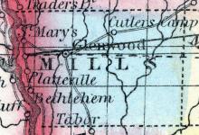
MILLS COUNTY. Glenwood, the county-seat, was first settled by the Mormons, in 1847, and this was about the first settlement in the county; but that population has long since been almost entirely supplanted by people from Michigan, New York, Ohio, and Missouri. The present population of the town is about seven hundred — that of the county about five thousand. There are three churches in the place, viz.
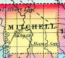
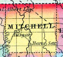
MITCHELL, a new county in the N. part of Iowa, bordering on Minnesota, has an area of 420 square miles. It is intersected by the Cedar river, which flows in a S.S.E. direction. This county is not included in the census of 1850, and has few, if any, civilized inhabitants. Named in honor of Mitchell, the Irish patriot. (Baldwin's New and Complete Gazetteer of the United States..., 1854)
MITCHELL, the county seat [Mitchell County, Iowa], is situated on the east bank of the Red Cedar River, and includes East and West Mitchell. It is fifty miles from Waverly, the present terminus of the Cedar Valley Railroad.
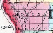
MONONA COUNTY Is situated in the western portion of the State, on the Missouri River, and the fifth county north of the State of Missouri. It is bounded on the north by Woodbury and Ida Counties, on the east by Crawford County, and on the south by Harrison County.
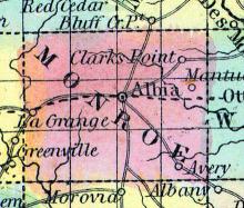
MONROE COUNTY Was organized in 1843, and the county-seat ''laid off'' in 1844. Present population of the county 4200 — of Albia, the county-seat, 400.
The Methodists have a good frame meeting-house. The Presbyterians are just building a good brick edifice, which will be finished this summer. The society of Christians will build next season.
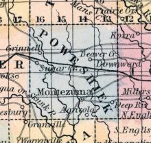
MONTEZUMA, a small post-village, capital of Poweshiek co., Iowa, about 60 miles W. by S. from Iowa City. (Baldwin's New and Complete Gazetteer of the United States..., 1854)
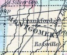
MONTGOMERY, a new county in the S. W. part of Iowa, has an area of 430 square miles. It is traversed by the two branches of Nishnabatona river, an affluent of the Missouri. The county is not yet organized, and has but few inhabitants. County seat not located. (Baldwin's New and Complete Gazetteer of the United States..., 1854)
MONTROSE, a post-village of Lee county, Iowa, on the Mississippi river, at the head of the lower rapids, 12 miles above Keokuk. The inhabitants are mostly employed in "lightening" steamboats over the rapids, which obstruct the navigation of the river. It has a line of omnibuses to Keokuk. Population, about 800. (Baldwin's New and Complete Gazetteer of the United States..., 1854)
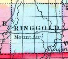
MOUNT AYR, the county seat of Ringgold County, is an unincorporated village, pleasantly situated on an elevation commanding an extensive view of the surrounding country, being three quarters of a mile south of the geographical centre of the county, and seventy-five miles northeast of St. Joseph, Missouri, the same distance east of Nebraska City, sixty miles north of Cameron, on the Hannibal and St. Joseph Railroad, and eighty-five miles southwest of Des Moines.
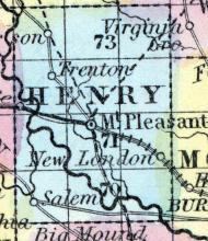
MOUNT PLEASANT, a thriving post-village, capital of Henry co., Iowa, 65 miles S. of Iowa City. It contains an academy, and numerous stores. Two or three newspapers are published here. (Baldwin's New and Complete Gazetteer of the United States..., 1854)
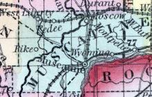
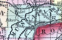
MUSCATINE, county, Iowa. Situated near the centre of the ter., having the Mississippi r. on its S. E. border, and contains 440 sq. ms. Watered by Red Cedar r. and its branches, and Pine cr., which affords water power, and a good harbor for steamboats at its mouth. The soil is fertile, particularly on the Mississippi and Wapsinonock cr.. a branch of Cedar r. Muscatine Slue forms a large and fertile alluvial island, on the borders of the Mississippi r. Capital, Bloomington.
MUSCATINE, formerly BLOOMINGTON, a flourishing city and river-port of Iowa, and capital of Muscatine county, is situated on the right bank of the Mississippi, 100 miles above Keokuk, and 32 miles S. E. from Iowa City.
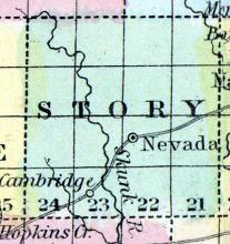
NEVADA, the county seat of Story County, is an unincorporated town with a present population of nearly one thousand persons. It is located on the Chicago and Northwestern Railway, three hundred and eighteen miles from Chicago. It is pleasantly situated upon a gently rolling prairie near the head of the grove which borders West Indian Creek. It was first settled by Theodore E. Alderman, who took up his abode within the town limits on the 14th day of October, 1853.
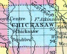
NEW HAMPTON is the county seat [Chickasaw County, Iowa], situated in the geographical centre of the county, on the stage route from Bradford to Fort Atkinson. It has a Congregational Church, three general stores, and one saw-mill. The New Hampton Courier is published weekly, by Geo. W. Reynolds & Levi J. Young. Population, 200. (Hair's Iowa State Gazetteer..., 1865)
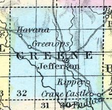
NEW JEFFERSON, the county seat [Greene County, Iowa], is near the centre of the county, on the North Raccoon River. It contains three general stores, one stove and tinware store, blacksmith, wagon shop, &c. (Hair's Iowa State Gazetteer..., 1865)
Note: Incorporated as "Jefferson" in 1872.
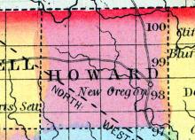
NEW OREGON is the county seat [Howard County, Iowa], and is situated on the Turkey River, in the eastern part of the county. The river affords a good water-power at this place. The town contains four general stores, one drug store, one hardware store, etc. (Hair's Iowa State Gazetteer..., 1865)

