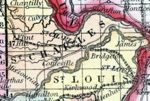
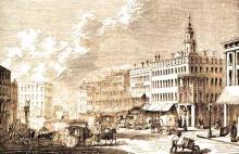
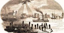
ST. CHARLES, a thriving post-town, capital of St. Charles county, Missouri, on the left bank of Missouri river, 22 miles from its mouth, 144 miles below Jefferson City, and about 6 miles by land S. from the Mississippi river. The situation is elevated and beautiful. The rocky bluffs in this vicinity present delightful views of the two great rivers above named. Quarries of limestone and sandstone and mines of stone coal have been opened near the town.
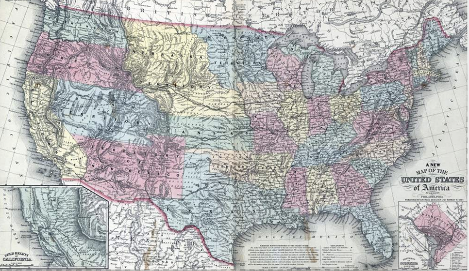
All States // Missouri // Illinois // Iowa
Displaying 1001 - 1050 of 1183
State: Missouri
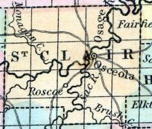
SAINT CLAIR COUNTY, situated toward the southwest part of Missouri, and traversed by Osage river. Area, 820 square miles. Seat of justice, Osceola. Pop. in 1850, 3,556. (Fanning's, 1853)
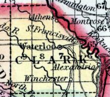
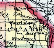
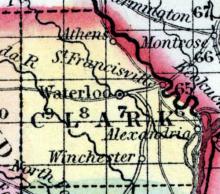
ST. FRANCISVILLE A post village of Clark county, Des Moines township, on the Des Moines river, between Missouri and Iowa, and on the line of the contemplated Keokuk, St. Francisville and Kansas City railroad, six miles from Waterloo, the county seat, 200 miles from St. Louis, and 200 miles in a direct It was first settled in 1820, by Jeremiah Wayland, and post office established in 1834. There are 4 two steamboat lines, viz., Keokuk, Ft. Des Moines and Alexandria, and St.
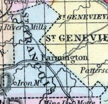
SAINT FRANCIS(sic) COUNTY, situated toward the part of Missouri. Area, 425 square miles. Seat of justice Farmington. Pop. in 1830, 2,366; in 1840, 3,211; in 1850, 4,964. (Fanning's, 1853)
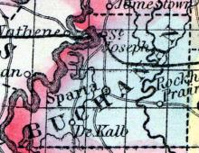
ST. JOSEPH The county seat of Buchanan county, and business emporium of North-western Missouri, North-eastern Kansas, Southeastern Nebraska, and South-western Iowa—is situate on the great Eastern bend of the Missouri river, about 666 miles above St. Louis. The surrounding country is one of unsurpassed richness and beauty. The site of the city, marked by great boldness, is on the spurs of a series of hills which terminate in the river at this point.
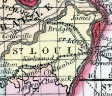
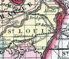
SAINT LOUIS COUNTY, situated on the easterly boundary of Missouri, with Mississippi river on the east, the Missouri on the northwest, and the Maramec on the south. Area, 550 square miles. Face of the country, even; soil, fertile. Seat of justice, Saint Louis. Pop. in 1810, 6,567; in 1820, 10,049; in 1830, 14,125; in 1840, 35,079; in 1850, 104,978. (Fanning's, 1853)
ST. LOUIS, MO. City, and seat of justice of St. Louis co. On the W. bank of the Mississippi River, 18 miles below the mouth of the Missouri. 130 miles E. from Jefferson City, the capital of the state, and 1101 miles, by the course of the river, N. from New Orleans. Population in 1810, 1600; in 1820, 4598; in 1830, 6694; in 1840, 16,469; in 1850, 82,774. St. Louis is the commercial metropolis of Missouri, and was formerly the seat of government.
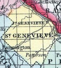
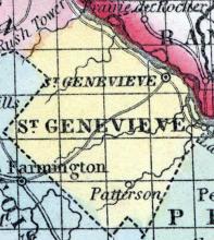
SAINT GENEVIEVE COUNTY, situated on the easterly boundary of Missouri, with Mississippi river on the northeast. Area, 400 square miles. Seat of justice, Saint Genevieve. Pop. in 1810, 4,620; in 1820, 4,963; in 1830, 2,182; in 1840, 3,148; in 1850, 5,313. (Fanning's, 1853)
ST. GENEVIEVE, a post-village, capital of St. Genevieve county, Missouri, on the Mississippi river, 61 miles below St. Louis. Some improvement has taken place recently since it became the shipping point for the products of the iron works at Iron mountain. A plank-road, 42 miles long, has been commenced between these works and the town. St.
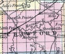
STEELSVILLE(sic), a post-village of Crawford CO., Missouri, near the Maramec river, 90 miles S. W. from St. Louis. It has a large academy and 5 or 6 stores. Population, 300. (Baldwin & Thomas, A New and Complete Gazetteer of the United States ... 1854)
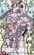
STODDARD COUNTY, situated in the southeast part of Missouri, and interspersed with numerous lakes and their connecting streams. Area, 900 square miles. Seat of justice, Bloomfield. Pop. in 1840, 3,153; in 1850, 4,277. (Fanning's, 1853)
Formed in 1851 from a portion of Taney County.
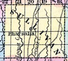
SULLIVAN COUNTY, situated in the north part of Missouri. Area, -------- square miles. Seat of justice, Milan. Pop. in 1850, 2,983. (Fanning's, 1853)
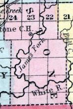
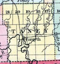
TANEY COUNTY, situated on the south boundary of Missouri, and traversed by White river and many of its tributaries. Area, 1,426 square miles. Seat of justice, Forsyth. Pop. in 1840, 2,264; in 1850, 4,373. (Fanning's, 1853)
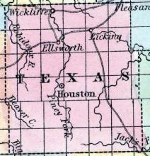
TEXAS COUNTY, situated in the southerly part of Missouri. Area, -------- square miles. Seat of justice, Houston. Pop. in 1850, 2,312. (Fanning's, 1853)
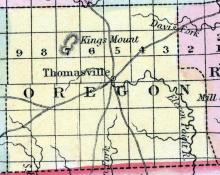
THOMASVILLE A post office of Oregon county, 125 miles south south-east of Jefferson City. (Missouri State Gazetteer..., 1860)
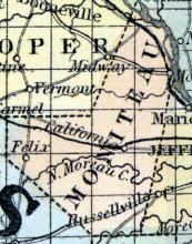
TIPTON A flourishing city of Moniteau county, Willow Fork township, on the Pacific Railroad, and on the line of the proposed Osage Valley and Southern Kansas Railroad, 12 miles from California the county seat, 163 from St. Louis, and 38 miles from Jefferson City. It was first settled in 1820 by Col. W. Howard, Sen. It contains one Baptist church, one Masonic Lodge, one Lodge I. O. O.
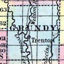
TRENTON, The county seat of Grundy county, situated on the east side of the Crooked Fork, a tributary of Grand river, 131 miles north-west by west of Jefferson City. It contains the county buildings, three churches, viz.: Methodist, Baptist and Christian; one lodge, viz.: Trenton, 111 F. A. A. M., and Grand River Lodge, No. 52 I. O. O. F.
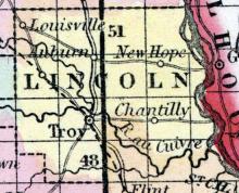
TROY, The county seat of Lincoln county, Bedford township, is situated about 150 miles from St. Louis, and 80 miles from Jefferson city. It was first settled by Deacon Cottle and Zadock Woods, in the year 1816. It contains four churches, viz: Presbyterian, Baptist, Christian and Methodist; one Masonic Lodge, Troy Lodge No. 34, and a good school house. Population 600. (The Missouri State Gazetteer and Business Directory, 1860)
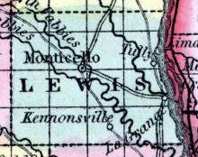
TULLY, a thriving post-village of Lewis county, Missouri, on the Mississippi river, 192 miles above St. Louis. A large quantity of pork and other produce is shipped at this point. It contains 2 churches, 6 stores, and 2 steam mills. Laid out in 1838. Population, about 600. (Baldwin & Thomas, A New and Complete Gazetteer of the United States ... 1854)
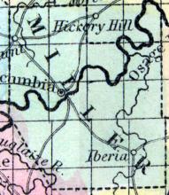
TUSCUMBIA, The county seat of Miller county, is situated on Osage River, 150 miles from St. Louis, and 35 miles from Jefferson City. Tuscumbia was settled about the year 1833, and in 1837 a post office was established. There is one stage line running from this place to Jefferson City, making connections with the Pacific R.R. three times per week. It contains one Masonic Lodge, Tuscumbia Lodge, No. 169, one Lodge of I.O.O.F.'s; Pleasant Mount, No.
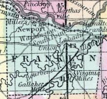
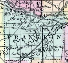
UNION, The county seat of Franklin county, is situated on the Bourbois river, 55 miles from St. Louis, and 75 miles from Jefferson City. Union was first settled by G. Fockler, in or about the year 1829. The chief products of the county are wheat, corm, and tobacco.
Formed in 1851 from a portion of Bates County.
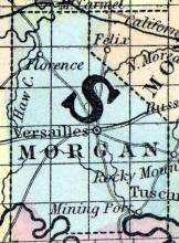
VERSAILLES The county seat. of Morgan county, situated in the midst of a rich and fertile farming country, 166 miles from St. Louis and 40 from Jefferson City. It is immediately on the surveyed line of Osage Valley and Southern Kansas Railroad. The town contains one Methodist church, a good school, a Masonic lodge, and about 300 inhabitants. County Sheriff, W.H. Goddard. (Missouri State Gazetteer..., 1860)
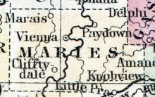
VIENNA, The county seat of Maries county. (The Missouri State Gazetteer and Business Directory, 1860)
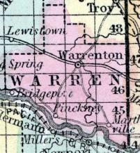
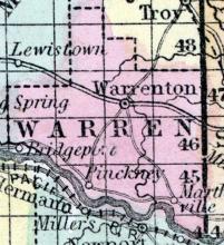
WARREN COUNTY, situated in the east part of Missouri, with Missouri river on the south. Area, 350 square miles. Seat of justice, Warrenton. Pop. in 1840, 4,253; in 1850, 5,860. (Fanning's, 1853) Warren, a county in the E. part of Missouri, contains about 400 square miles. The Missouri river forms the boundary on the S. S. W., and the county is drained by Peruque, Massies, Smith's, Charette, and Bear creeks.
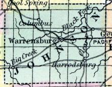
WARRENSBURGH The county seat of Johnson county, Warrensburgh township, is situated on Post Oak creek, 260 miles from St. Louis, and 120 from Jefferson City. A daily stage runs to Tipton, 60 miles, one to Independence, 55 miles, and a tri-weekly to Lexington. The town contains four churches, viz: Methodist, Presbyterian, Baptist and Christian. A Masonic Lodge, viz: Johnson Lodge, No. 85, and Demolay Chapter, No. 26. The Odd Fellows have a Lodge, called Ureka.
WARRENTON, a thriving post-village, capital of Warren county, Missouri, 75 miles E. N. E. from Jefferson City, and 14 miles N. from the Missouri river. It contains a steam flouring mill and saw mill, a manufactory of tobacco, and several stores. (Baldwin & Thomas, A New and Complete Gazetteer of the United States ... 1854)
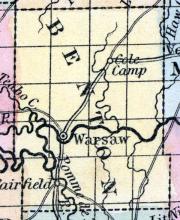
WARSAW The county seat of Benton county, Lindsey township, situated on the Osage river, 200 miles from St. Louis, and 80 miles from Jefferson City. It was first settled by D. C. Ballou. The post office has been established 22 years. There is a daily mail to Tipton, 53 males, one to Springfield, 80 miles, and two overland mails to San Francisco, Cal., each week.
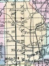
WASHINGTON COUNTY, situated in the east part of Missouri. Area, 820 square miles. Face of the country, mountainous; soil, varied. Seat of justice, Potosi. Pop. in 1830, 6,784; in 1840, 7,231; in 1850, 8,811. (Fanning's, 1853)
WASHINGTON, A post town of Franklin county, in Washington township, beautifully situated on Missouri river, 10 miles from Union, the county seat, 54 miles from St. Louis, and 71 to Jefferson City. Washington was settled about 25 years ago, by Mr.
WATERLOO, The county seat of Clark County, Madison township, on Fox River, 200 miles from St. Louis, and 250 miles from Jefferson City. Waterloo was first settled about the year 1835; in the year 1839 a post office was established. The chief products are wheat, corn, oats, and rye. Timber, oak, linn, and cottonwood. The average price of uncultivated lands $5 per acre, cultivated $15.
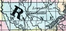
WAYNE COUNTY, situated In the southeast part of Missouri, with St. Francis river on the southeast, and traversed by the Big Black. Area, 1,200 square miles. Seat of justice, Greenville. Pop. in 1830, 3,264; in 1840, 3,403; in 1850, 4,518. (Fanning's, 1853)
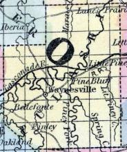
WAYNESVILLE, a small post-village, capital of Pulaski county, Missouri, on a fork of the Gasconade river, 80 miles S. from Jefferson City. It has an active trade in pine lumber. (Baldwin & Thomas, A New and Complete Gazetteer of the United States ... 1854)
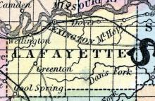
WELLINGTON A post village of Lafayette county, Clay township, on the Missouri River, seven miles from Lexington, the county seat, 300 miles from Saint Louis, and 150 from Jefferson City. Chief products, hemp, corn and tobacco. Average price of land $25 per acre. It contains two churches, one Masonic Lodge, Dawson Lodge, No. 37, and Wellington Lodge, No. 81, I. O. O.
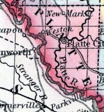
WESTON, a flourishing post-village and river port of Platte county, Missouri, on the Missouri river, 200 miles by the road W. N. W. from Jefferson City, and 3 miles above Fort Leavenworth. It is one of most important and commercial towns on the Missouri river. The frontier position of Weston renders it a favorable starting point for the emigrants to California, &c.
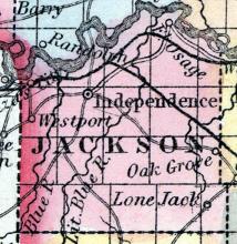
WESTPORT, a thriving post-village of Jackson CO., Missouri, 4 miles S. from the Missouri river, and 175 miles W. by N. from Jefferson City. (Baldwin & Thomas, A New and Complete Gazetteer of the United States ... 1854)
WINCHESTER, A post village of Clark county, Jackson township, situated on Honey creek, 12 miles from Waterloo, the county seat, 200 from St.
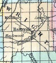
WRIGHT, a county in the S. part of Missouri, contains about 950 square miles. The Gasconade river and the Usage fork of the same rise in the county and flow northward; it is also drained by the sources of the James, Bryant's, Finley, and North forks of White river. The surface is uneven; a portion of the soil is productive. Indian corn, wheat, oats, cattle, pork, and butter are the staples.
State: Mississippi
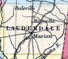
LAUDERDALE COUNTY, situated on the east boundary of Mississippi. Area, 700 square miles. Seat of justice, Marion. Pop. in 1840, 5,358; in 1850, 8,708.
Fanning's Illustrated Gazetteer of the United States.... (New York: Phelps, Fanning & Co., 1853), 185.
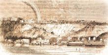
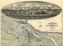
Vicksburg, Mi., Warren co. Situated on the E. bank of the Mississippi. 50 miles N. N. E. from Natchez, and about 45 W. from Jackson, the capital of the state, with which it is connected by a railroad. The town is on a high bluff, about 200 feet above the river. The scenery is very fine from the bluffs in this neighborhood.
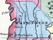
WASHINGTON COUNTY, situated on the vest boundary of Mississippi, with Mississippi river on the west, and the Yazoo on the east. Area, 2,420 square miles. Seat of justice, Greenville. Pop. in 1840, 7,287; in 1850, 8,389.
Fanning's Illustrated Gazetteer of the United States.... (New York: Phelps, Fanning & Co., 1853), 376.
State: North Carolina
Railroad line that connected Clarksville, Virginia to Ridgeway, North Carolina.
State: New York
Rochester, N. Y., city, port of entry, and seat of justice for Monroe co., is situated on both sides of the Genesee River, 7 miles S. from its entrance into Lake Ontario, 250 miles W. of Albany by the railroad, and 75 miles by railroad E. by N. from Buffalo. In 1810, this place had not an existence, and was not incorporated even as a village until 1817. Population in 1820, 1502; in 1830, 9269 ; in 1840. 20,191; in 1850, 36,561.

