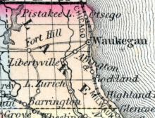
WAUKEGAN, formerly LITTLEFORT, a flourishing post-village, capital of Lake county, Illinois, on the W. shore of Lake Michigan, and on the Chicago and Milwaukee railroad, 44 miles N. by W. from Chicago, and 50 miles S. from Milwaukee. The lake is about 80 miles wide opposite this place. The principal part of the village is built on a bluff which rises rather abruptly to the height of 60 feet, from which extensive views of water scenery may be obtained.
All States // Missouri // Illinois // Iowa
Displaying 251 - 262 of 262
State: Illinois
WAVERLY A post village in a township of the same name of Morgan county 230 miles from Chicago and 80 miles from St. Louis. Population of village, 1,000; township, 2,000. P. C. Arnett, Postmaster. (Hawes' Illinois State Gazetteer..., 1859)
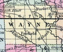
WAYNE COUNTY, situated in the southeast part of Illinois, with Little Wabash river on the east. Area, 720 square miles. Seat of justice, Fairfield. Pop. in 1820, 111; in 1830, 2,553; in 1840, 5,133; in 1850, 6,828. (Fanning's, 1853)
WHEATON A post village of Du Page county, on the Galena and Chicago Railroad, 25 miles west from Chicago. Frederick C. Hageman, Postmaster. (Hawes' Illinois State Gazetteer..., 1859)
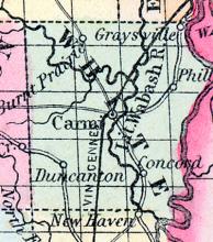
WHITE COUNTY, situated on the southeasterly boundary of Illinois, with Wabash river on the east. Area, 480 square miles. Face of the country, even; soil, fertile. Seat of justice, Carmi. Pop. in 1820, 4,828; in 1830, 6,091; in 1840, 7,919; in 1850, 8,925. (Fanning's, 1853)
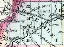
WHITESIDES, county, Ill. Situated in the N. W. part of the state, and contains 770 sq. miles. Formed in 1836 from Jo-Daviess co. Watered by Rock river and its branches. The surface is level or undulating; soil, fertile. Capital, Lyndon. There were in 1840, neat cattle 2,832, sheep 765, swine 6,751; wheat 27,206 bushels produced, Indian com 80,680, oats 26,886, potatoes 33,918, sugar 1,020 pounds; 12 stores, cap. $32,500; 4 grist m., 12 saw m. Cap. in manufac. $24,700. 8 sch.
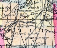
WILL, county, Ill. Situated toward the N. E. part of the stale, and contains 504 square miles. Drained by Kankakee r. and its branches. Desplaines r. bounds it on the N. W. Capital, Juliet. There were in 1840, neat cattle 9,278, sheep 2,584, swine 15,690; wheat 110,464 bush. produced, Ind. corn 173,383, buckwheat 1,561, barley 5,729, oats 271,587, potatoes 112,482, sugar 8,100 pounds; 41 stores, cap.
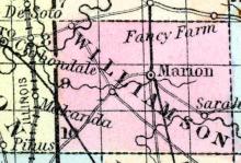
WILLIAMSON, county, Ill. Situated in the a. part of the state, and contains 432 sq. ms. Drained by Muddy cr., which flows into Mississippi r., and by Saline cr., flowing into Ohio r. Capital, Bainbridge. There were in 1840, neat cattle 4,736, sheep 3,1988, swine 13,902; wheat 11,932 bush. produced, Ind. com 172,890, oats 29,370, potatoes 3,881, tobacco 115,419 pounds, cotton 45,423; 7 stores, cap.
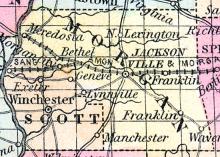
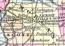
WINCHESTER, p-v., capital of Scott co., Ill., 15 s. w. Jacksonville, 50 w. s. w. Springfield, 830 W. It has 11 stores, cap. $15,800; 2 tanneries, 1 pottery, 1 flouring in., 1 grist m., 1 saw m. Cap. in manufac. $16,600. 1 acad. 60 students, 2 sen. 69 scholars. Pop. 720. (Haskell's Complete Descriptive and Statistical Gazetteer of the the United States...,1840)
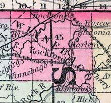
WINNEBAGO COUNTY, situated on the north boundary of Illinois, and traversed by Rock river. Area, 504 squared miles. Seat of justice, Rockford. Pop. in 1840, 4,609; in 1850, 11,773.(Fanning's, 1853)
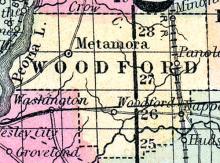
WOODFORD COUNTY, situated in the central part of Illinois, with Illinois river on the northwest. Area, 470 squared miles. Seat of justice, Woodford. Pop. in 1850, 4,416. (Fanning's, 1853)
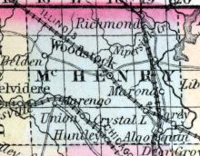
WOODSTOCK Woodstock, county seat of McHenry county, is situated on the Chicago, St. Paul & Fond du Lac railroad, 48 miles from Chicago, has several steam manufacturing establishments, several churches, flourishing public schools, two commodious hotels, two weekly newspapers, the Sentinel and Democrat. Population, 2,600. Orvis S. Johnson, Postmaster. (Hawes' Illinois State Gazetteer...,1859)

