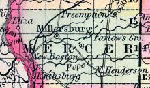
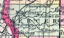
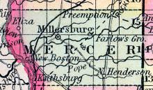
MERCER COUNTY, situated on the west boundary of Illinois, with the Mississippi river on the west. Area, 550 square miles. Seat of justice, Millersburgh. Pop. in 1840, 2,352; in 1850, 5,246. (Fanning's, 1853)
All States // Missouri // Illinois // Iowa
Displaying 151 - 200 of 262
State: Illinois
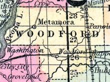
METAMORE(sic) A post village of Woodford county, about 80 miles north by east from Springfield. Moses P. Mack, Postmaster. (Hawes' Illinois State Gazetteer...,1859)
Note: Founded as Hamburg, Illinois in 1836. Name changed to Metamora, Illinois in 1845.
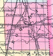
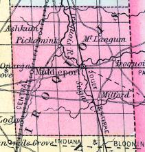
MIDDLEPORT, a thriving post-village, capital of Iroquois county, Illinois, on the Iroquois river, at the junction of Sugar creek, 150 miles E. N. E. from Springfield. It contains a court house and numerous stores. Population in 1853, about 800. (Baldwin's New and Complete Gazetteer of the United States..., 1854)
MILLERSBURG, a post-village of Mercer co., Illinois, 156 miles' N. W. from Springfield. It was the county seat previous to 1849. A newspaper is published here. (Baldwin's New and Complete Gazetteer of the United States..., 1854)
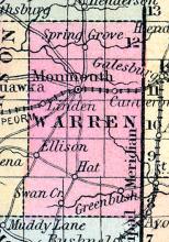
MONMOUTH, p-v., capital of Warren co. Ill, 120 N. w. Springfield, 850 W. Situated in a prairie, a little s. of Henderson r., and contains a court house, 6 stores and groceries, and about 20 dwellings. (Haskell's Complete Descriptive and Statistical Gazetteer of the the United States...,1840)
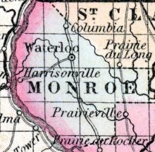
MONROE COUNTY, situated on the southwest boundary of Illinois, with the Mississippi river on the west, and the Kaskaskia river on the east. Area, 360 square miles. Seat of justice, Waterloo. Pop. in 1830, 2,000; in 1840, 4,481; in 1850, 7,679. (Fanning's, 1853)
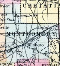
MONTGOMERY COUNTY, situated toward the south part of Illinois. Area, 684 square miles. Face of the country even; soil fertile. Seat of justice, Hillsborough. Pop. in 1830, 2,953; in 1840, 4,490; in 1850, 6,276. (Fanning's, 1853)
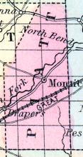
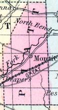
MONTICELLO, p-y., capital of Piatt co. Il. Situated on the E. side of Sangamon r., and contains a court house, and about 100 inhabitants. (Haskell's Complete Descriptive and Statistical Gazetteer of the the United States...,1840)
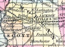
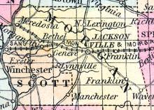
MORGAN COUNTY, situated in the westerly part of Illinois, with Illinois river on the west. Area, 510 square miles. Seat of justice, Jacksonville. Pop. in 1830, 12,714; in 1840, 19,547; in 1850, 16,064. (Fanning's, 1853)
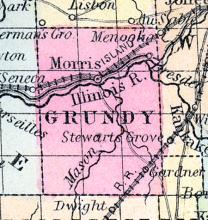
MORRIS, a thriving post-village, capital of Grundy co., Illinois, in on the Illinois and Michigan canal, 62 miles S. W. from Chicago. It is the principal shipping point for the grain of Grundy county. The Chicago and Rock Island railroad passes through the village. About 400,000 dollars' worth of produce was received here in 1852. Laid out in 1841.
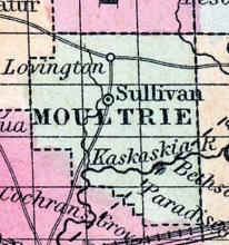
MOULTRIE COUNTY, situated in the central part of Illinois. Watered by Kaskaskia river. Pop. in 1850, 3,234. (Fanning's, 1853)
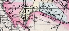
MOUND CITY Is situated in Pulaski county, near the confluence of the Ohio and Mississippi rivers, and between the two. Its climate is mild and genial. The city has been laid out but about two years since, at which time it contained only three houses, a depot and two store houses.
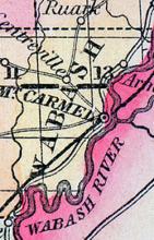
MOUNT CARMEL, p-v., capital of Wabash co, Ill., 166 s. E. Springfield, 714 W. Situated on elevated ground, on the w. side of Illinois r. It contains a court house and jail, of brick, 1 German Reformed and 1 Methodist Episcopal church, 10 stores, 3 steam m., 1 ox tread m., 1 iron foundry, and about 1,200 inhabitants. (Haskell's Complete Descriptive and Statistical Gazetteer of the the United States...,1840)
MOUNT CARMEL, a post-village, capital of Wabash county, Illinois, on the Wabash river, opposite the mouth of White river, 160 miles S. E. of Springfield. It has a beautiful situation and advantages for manufacturing, with a dam across the river, a mile above the village, producing inexhaustible water-power. The place is remarkably healthy, having entirely escaped the cholera when it prevailed in the vicinity. A newspaper is published here.
MOUNT MORRIS, A post village of Ogle county, in the township of the same name, 177 miles north from Springfield, and 6 miles west from Rock river. It contains a fine seminary, which is in a flourishing condition, and a newspaper office. Edward Davis, Postmaster. (Hawes' Illinois State Gazetteer..., 1859)
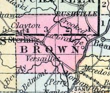
MOUNT STERLING, p-v., capital of Brown co., Ill., 77 w. by n. Springfield, 854 W. Situated on a small branch of Crooked creek, and contains a court house, and several stores and dwellings. (Haskell's Complete Descriptive and Statistical Gazetteer of the the United States...,1840)
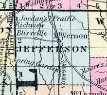
MOUNT VERNON A post village, capital of Jefferson county, 135 miles south-south-east from Springfield, about 300 from Chicago, and 85 from St. Louis It contains a fine court house, several churches, and a large number of stores. Population, about 1,000. Daniel Kinney, Postmaster. (Hawes' Illinois State Gazetteer...,1859)
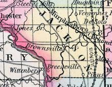
MURPHEYSBORO, A post village, capital of Jackson county, on the Bug Muddy river, about 15 miles east from the Mississippi, and 178 miles south from Springfield. The Belleville and Murpheysboro railroad passes through this place. Wm. H. Hord, Postmaster. (Hawes' Illinois State Gazetteer...,1859)
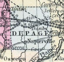
NAPIERVILLE (sic), p-v., capital of Du Page co., III., 176 N. N. E. Springfield, 745 W. Situated E. of the w. Fork of Dupage r., and contains 4 stores, 1 saw m., 1 grist m., 50 dwellings, and about 300 inhabitants. (Haskell's Complete Descriptive and Statistical Gazetteer of the the United States...,1840)
NAPLES, a thriving post-village of Scott co., Illinois, on the left bank of the Illinois river, 55 miles W. from Springfield. It is the western terminus of the Sangamon and Morgan railroad, which connects it with Springfield. Large quantities of grain, pork, &c. are received here, and shipped by steamboats. The trade of Naples in 1852 was estimated at $4,000,000 in the late message of Governor Matteson.
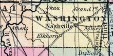
NASHVILLE A post village, capital of Washington county, on the Illinois river, 118 miles south by east from Springfield. It is situated on a rich and beautiful prairie. (Hawes' Illinois State Gazetteer...,1859)
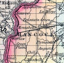
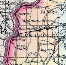
NAUVOO CITY of Hancock co., Illinois, on the Mississippi river, near the head of the lower rapids, 52 miles above Quincy, and 220 miles above St. Louis. It was founded .by the Mormons in 1840, and once contained from 15,000 to 18,000 inhabitants. The situation is one of the most beautiful on the river. The ground rises gradually from the water's edge to an unusual height, presenting a smooth and regular surface, with a broad plain at the summit.
NEW BOSTON, a thriving post-village of Mercer county, Illinois, is situated on the Mississippi river, 156 miles N.W. from Springfield. It is a place of much activity in business, at which a large quantity of produce is bought and shipped. The adjacent country is fertile, and rapidly improving. Population, in 1853, about 600. (Baldwin's New and Complete Gazetteer of the United States..., 1854)
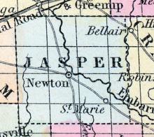
NEWTON, p-v., capital of Jasper co., Ill., 130 s. K. Springfield, 707 W. Situated on the w. side of Embarrass r., and contains 1 Baptist church, 2 stores, and about 150 inhabitants. (Haskell's Complete Descriptive and Statistical Gazetteer of the the United States...,1840)
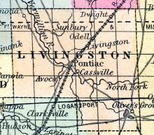
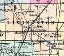
ODELL A thriving post village of Livingston county, near the north-east part, and on the line of the St. Louis, Alton and Chicago railroad. Daniel Smith, Postmaster. (Hawes' Illinois State Gazetteer..., 1859)
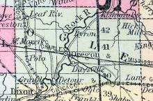
OGLE COUNTY, situated in the north part of Illinois, and traversed by Rock river. Area, 625 square miles. Seat of justice, Oregon city. Pop. in 1840, 3,497; in 1850, 10,020. (Fanning's, 1853)
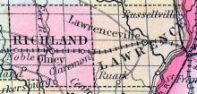
OLNEY, a neat post-village, capital of Richland co., Illinois, on the railroad from St. Louis to Vincennes, 130 miles S. E. of Springfield. It was settled about 1845, by people from the Eastern states. Pop., about 400. (Baldwin's New and Complete Gazetteer of the United States..., 1854)
ONARGA A thriving post village of Iroquois county, on the line of the Illinois Central Railroad (Chicago Branch), 86 miles south from Chicago. Joseph Thomas, Postmaster. (Hawes' Illinois State Gazetteer..., 1859)
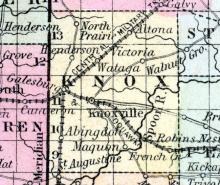
ONEIDA A post village of Knox county, on an affluent of Spoon river. Charles F. Camp, Postmaster. (Hawes' Illinois State Gazetteer..., 1859)
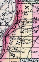
OQUAWKA, p-v., capital of Henderson co. Ill. , 138 N. w. Springfield, 868 W. Situated on the E. bank of the Mississippi r., and contains a few stores and dwellings. (Haskell's Complete Descriptive and Statistical Gazetteer of the the United States...,1840)
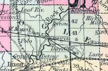
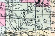
OREGON CITY, a thriving post-village, capital of Ogle co., Illinois, on the right bank of Rock river, 176 miles N. by E. from Springfield. It is handsomely situated between the shore and a bluff, which rises in the form of an amphitheatre, at the distance of about a mile, and meets the river a little below the town. Population in 1850, 540. (Baldwin's New and Complete Gazetteer of the United States..., 1854)
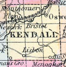
OSWEGO, a handsome and flourishing post-village of Oswego township, capital of Kendall county, Illinois, is finely situated on the left bank of the Fox river, 45 miles W.S.W.
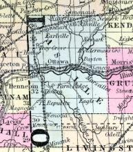
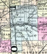
OTTAWA, c. h., p. v., seat of justice of La Salle со., Ill., 133 ms. N. E. of Springfield ; from W. 773 ms. Watered by Illinois and Fox rivers. (Fanning's, 1853)
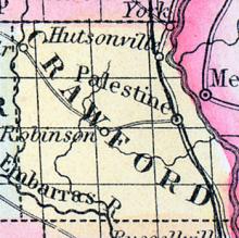
PALESTINE, p-v. , capital of Crawford co. Ill. , 155 s. E. Springfield, 689 W. Situated 3 ms. from Wabash r. , on the borders of Lamotte prairie. It contains a court house, a U. S. land office, 2 churches, 8 stores, various mechanic shops, and about 500 inhabitants. (Haskell's Complete Descriptive and Statistical Gazetteer of the the United States...,1840)
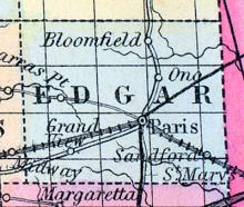
PARIS, p-v., capital of Edgar co., Ill., 114 E. Springfield, 665 W. Situated on the borders of a rich prairie, and contains a brick court house, 9 stores, 60 dwellings, and about 350 inhabitants. (Haskell's Complete Descriptive and Statistical Gazetteer of the the United States...,1840)
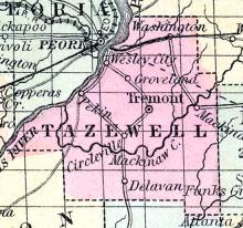
PEKIN, A thriving post village of Tazewell county, on the left bank of Illinois river, 12 miles below Peoria and about 60 miles north from Springfield. It is the largest place in the county and has an active business. Large quantities of produce are shipped here by steamboats. Pekin contains a number of churches, an academy, two newspaper offices and several steam mills. Middleton Tackaberry, Postmaster. (Hawes' Illinois State Gazetteer..., 1859)
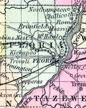
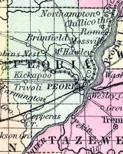
PEORIA COUNTY, situated toward the west part of Illinois, with Illinois river on the southeast. Area, 648 square miles. Seat of justice, Peoria. Pop. in 1840, 6,153; in 1850, 17,547. (Fanning's, 1853)
PEORIA, a handsome and flourishing city, capital of Peoria county, Illinois, on the right or W. bank of Illinois river, at the outlet of Peoria lake, 70 miles N. from Springfield, and 151 S. W. from Chicago. It is the most populous town on the river, and one of the most important and commercial in the state. The river is navigable by steamboats in all stages of water, and is the channel of an immense trade in grain, lumber, pork, &c.
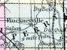
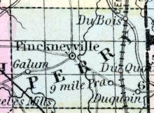
PERRY COUNTY, situated in the south part of Illinois. Area, 432 square miles. Seat of justice, Pinckeyville. Pop. in 1830, 1,215; in 1840, 3,222; in 1850, 5,278. (Fanning's, 1853)
PERU The city of Peru is situated in La Salle county, at the head of navigation on the Illinois river, 16 miles from Ottawa, the county seat, 114 miles from Springfield, 99 miles from Chicago, one mile from the junction of the Illinois Central railroad with the Illinois and Michigan canal, and on the Chicago and Rock Island railroad.
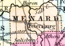
PETERSBURG A thriving post village, capital of Menard county, on the Sangamon river, 22 miles northwest from Springfield. The river is navigable for small boats to this place. Jacob Garber, Postmaster. (Hawes' Illinois State Gazetteer...,1859)
PIATT COUNTY, situated toward the east part of Illinois. Area, 440 square miles. Seat of justice, Monticello. Pop. in 1850, 1,606. (Fanning's, 1853)
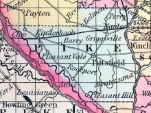
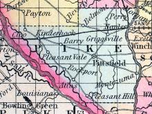
PIKE COUNTY, situated on the southwesterly boundary of Illinois, with Mississippi river on the southwest and the Illinois on the east. Area, 800 square miles. Seat of justice, Pittsfield. Pop. in 1830, 2,396; in 1840, 11,728; in 1850, 9,095. (Fanning's, 1853)
PINKNEYVILLE, p-v., capital of Perry co.. Ill., 134 s. Springfield, 839 W. Situated on the w. side of Big Beaucoup creek, at the head of Four Mile prairie, and contains 5 stores and 20 dwellings, and 62 inhabitants. (Haskell's Complete Descriptive and Statistical Gazetteer of the the United States...,1843)
PITSFIELD, p-v., capital of Pike co. Ill., 70 w. s. w. Springfield, 850 W. Situated on elevated ground, midway between the Illinois and Mississippi rivers. It contains a court house, jail, 5 stores, various mechanic shops, and about 200 inhabitants. (Haskell's Complete Descriptive and Statistical Gazetteer of the the United States...,1843)
PLEASANT PLAINS A post office of Sangamon county. Thos. Thurley, postmaster. (Hawes' Illinois State Gazetteer..., 1859)
PLYMOUTH Is a thriving post village, situated in the eastern part of Hancock county, on the Chicago and Quincy railroad, 16 miles from Carthage, the county seat, 42 from Quincy, and 100 from Springfield. This town is one of a good degree of activity, and enjoys a very healthy climate; is in the centre of a highly productive farming district, having wood, coal and water in abundance, and of the best quality.
PONTIAC, p-v., capital of Livingston co., Ill., 110 N. N. E. Springfield, 737 W. It contains a court house, jail, and several dwellings. (Haskell's Complete Descriptive and Statistical Gazetteer of the the United States...,1840)
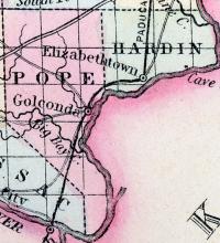
POPE COUNTY, situated on the southerly boundary of Illinois, with Ohio river on the southeast. Area, 576 square miles. Seat of justice, Golconda. Pop. in 1820, 2,610; in 1830, 3,323; in 1840, 4,094; in 1850, 3,975. (Fanning's, 1853)
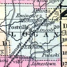
POSTVILLE, p-v., capital of Logan co., Ill., 39 n. e. Springfield. Situated on the N. side of Salt cr., a branch of Sangamon r., and contains a court house, 3 stores, and several dwellings. (Haskell's Complete Descriptive and Statistical Gazetteer of the the United States...,1840)

