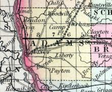
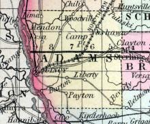
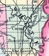
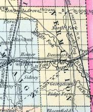
ADAMS COUNTY, in the westernmost part of Illinois, bordering the Mississippi river. It is 32 miles in length, with a mean breadth of 24, and contains an area of 768 square miles. The western and most extensive slope declines toward the Mississippi, while that of the east gives rise to the streams running into the Illinois river. Courts are held at Quincy. Pop., in 1830, 3,186; in 1840, 14,476; in 1850, 26,508. (Fanning's, 1853)
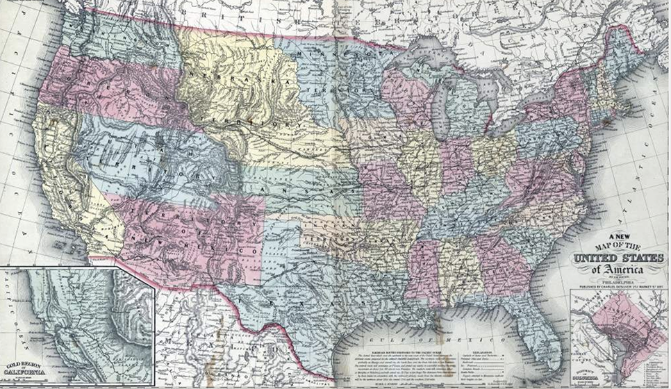
All States // Missouri // Illinois // Iowa
Displaying 1 - 50 of 262
State: Illinois
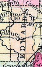
ALBION C. H., p-v., Edwards co., III., 165 Springfield, 40 g. w. Vincennes, 731 W. Established in 1819. Settled chiefly by English emigrants. The situation is high and healthy. It contains 3 stores, a flouring m. moved by oxen, and 40 or 50 families. It has a brick court house, 44 feet square, and 2 stories high. (Haskell's Complete Descriptive and Statistical Gazetteer of the the United States...,1840)
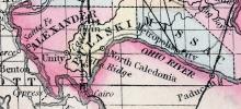
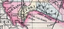
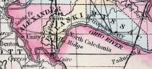
ALEXANDER COUNTY, in the extreme south part of Illinois, situated at the junction of Ohio and Mississippi rivers. Length 23 miles; mean breadth about 17, with an area of 390 square miles. The surface along the borders of the rivers is flat and low, so much so that considerable tracts are annually overflowed. The general character of the soil is fertile, producing excellent crops. Courts are held at Unity. Pop. in 1830, 1,390; in 1840, 3,313; in 1850, 2,484. (Fanning's, 1853)
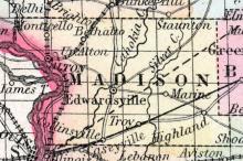
ALTON, Ill., city, Madison co. Situated on the east bank of the Mississippi, 82 miles W. by S. from Springfield, the capital of the state. This place has an excellent steamboat landing, and is advantageously situated for trade. It extends along the river about 2 miles; and back, from half a mile to a mile. The streets, which are laid out with regularity, are from 60 to 180 feet wide. The place has had a rapid growth.
ANNA Is a post town located in Union county, one of the south-western counties of the state. David L. Phillips, Postmaster. (Hawes' Illinois State Gazetteer..., 1859)
AUGUSTA, p. v., Hancock co., Ill, 87 ms. W. by S. of Springfield; from W. 865 ms. (Fannings, 1853)
AURORA, p. v.. Kane co.. Ill., 117 ms. N. N. E. of Springfield; from W. 751 ms. Watered by Fox river. Pop. 1,895. (Fannings, 1853)
BATAVIA, p. t. Kane co., Ill., 184 ms. N. of Springfield; from W. 755 ms. Pop. 892. (Fanning's, 1853)
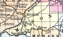
BATH A post village of Mason county, on the Illinois river, 50 miles southerly from Peoria, is situated in a fertile country, and has a good run of trade, being a shipping port for St. Louis. It was formerly the county seat. Population, about 800. William J. Odell, Postmaster. (Hawes' Illinois State Gazetteer...,1859)
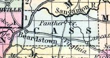
BEARDSTOWN, p-v., Cass co., Ill., on the E. side of Illinois r., 48 W by N. Springfield, 826 W. It has 13 stores, a Methodist and an Episcopal church, 2 sch. 73 scholars. Pop. 336. (Haskell's Complete Descriptive and Statistical Gazetteer of the the United States...,1840)
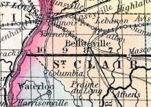
BELLEVILLE, The county seat of St. Clair county, is pleasantly situated on the line of the Belleville and Minfreysboro' railroad, about 16 miles south-east from St. Louis, and 310 miles from Chicago. The region abounds in coal, which is dug to a great extent and shipped to different points by rail and the Mississippi river. These beds of coal extend to a great distance below the surface. The surrounding country is quite populous, and advancing steadily in wealth and numbers.
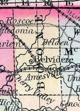
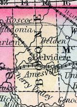
BELVIDERE County seat of Boone county, situated 76 miles north-west of Chicago, on the Galena and Chicago Union railroad, the junction of the Beloit branch of which is at this place. The town lies on both sides of the river Kishwaukee, a small stream which affords some water power. It has been settled about twenty-two years, and contains a population of about 2,500 in the incorporated limits.
BEMENT A post office of Piatt county. Joseph Rodman, Postmaster. (Hawes' Illinois State Gazetteer..., 1859)
BENTON A post village, capital of Franklin county, is situated on a prairie, near Big Muddy river, 152 miles south-east from Springfield. John G. Goessman, Postmaster. (Hawes' Illinois State Gazetteer...,1859)
BLOOMINGTON, p.v., McLean co., Ill., 73 ms. N.N.E. of Springfield; from W. 744 ms. Pop. 1,594. (Fanning's, 1853)
BOND COUNTY, Is., c. h. at Greenville. S. W. central. Watered by Shoal Creek, a branch of the Kaskaskia River. (Gazetteer of the United States of America, 1854)
BOONE COUNTY, in the north boundary of Illinois, and drained by Kishwaukee river. Area, 400 square miles. Seat of justice, Belvidere. Pop. in 1840, 1,705; in 1850, 7,626. (Fanning's, 1853)
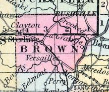
BROWN COUNTY, in the western part of Illinois, with Illinois river on the east, and Crooked river on the northeast. Area, 300 square miles. Seat of justice, Mount Sterling. Pop. in 1840, 4,183; in 1850, 7,198. (Fanning's, 1853)
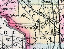
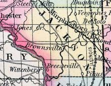
BROWNSVILLE, c.h., p.v., seat of justice of Jackson co., Ill., 177 ms. S. of Springfield; from W. 842 miles. Watered by the Big Muddy river. (Fanning's, 1853)
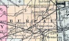
BUREAU COUNTY, situated toward the north part of Illinois, on the northwesterly side of Illinois river. Area, 648 square miles. Watered by Bureau creek and Winnebago lake. Seat of justice, Princeton. Pop. in 1840, 3,067; in 1850, 8,841. (Fanning's, 1853)
CAIRO, Is.,Alexander co. Situated at the junction of the Mississippi and Ohio Rivers... From a survey of the great physical features of the western country, in connection with a prospective estimate of the immense resources of wealth which are to be rapidly developed there, the locality of this place appears to possess the most remarkable advantages for becoming, at some future period, the seat of one of the largest and most important cities in North America.
CALEDONIA a small post-village, capital of Pulaski county, Illinois, on the Ohio river, 13 miles from its mouth, and 220 miles S. from Springfield. It has about 200 inhabitants. (Baldwin's New and Complete Gazetteer of the United States..., 1854)
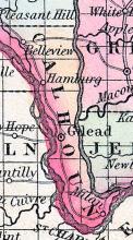
CALHOUN COUNTY, situated on the westerly boundary of Illinois, between Illinois and Mississippi rivers. Area, 240 square miles, containing a rich table land 37 miles long, and from 3 to 10 miles wide. Seat of justice, Gilead. Pop., in 1830, 1,092; in 1840, 1,741; in 1850, 3,231. (Fanning's, 1853)
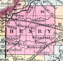
CAMBRIDGE A flourishing post village of Henry county, 140 miles north by west from Springfield. It is surrounded by a rich farning district, in which stone coal is abundant. Elijah Adaus, Postmaster. (Hawes' Illinois State Gazetteer...,1859)
CAMP POINT Is a post village in the eastern part of Adams county, on the Chicago and Quincy railroad, at the point of junction with the Toledo and Quincy road. This town sprang into existence on the opening of the Chicago and Quincy railroad. It is laid out on a beautiful undulating prairie, bounded on the south by McKee's creek, timber belt, and on the north by Bear creek, a considerable stream, on which there is a saw mill erected.
CARBONDALE A small village in Jackson county, on the line of the Illinois Central railroad. The proposed Belleville and Murfrcysboro' railroad crosses at this point Asgill Conneb, Postmaster. (Hawes' Illinois State Gazetteer..., 1859)
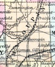
CARLINVILLE, c.h., p.v., seat of justice of Macoupin co., Ill., 39 ms. S.S.W. of Springfield; from W. 811 ms. Watered by Lake Fork of Macoupin river. (Fanning's, 1853)
CARLYLE, c.h., p.v., seat of justice of Clinton co., Ill., 96 ms. S. by E. of Springfield; from W. 771. Watered by Kaskaskia river. (Fanning's, 1853)
CARMI, p-v., capital of White co,Ill., 181 S. E. Springfield, 751 W. Situated on the w. bank of Little Wabash r., and contains a court house and several dwellings. Pop. 350. (Haskell's Complete Descriptive and Statistical Gazetteer of the United States..., 1840)
CARMI, c.h., p.v., seat of justice of White co., Ill., 181 ms. S.E. of Springfield; from W. 751 ms. Watered by Little Wabash river. (Fanning's, 1853)
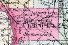
CARROLL COUNTY, situated on the westerly boundary of Illinois, on tho east side of Mississippi river. Area, 445 square miles. Seat of justice Mount Carroll. Pop. in 1840, 1,023; in 1850, 4,586. (Fanning's, 1853)
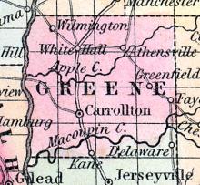
CARROLLTON, c. h„ p.v., seat of justice of Greene co., Ill., 69 ms. s. w. of Springfield; from W. 834 ms. Pop. 787. (Fanning's, 1853)
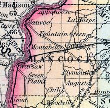
CARTHAGE, c.h., p.v., seat of justice of Hancock co., Ill., 106 ms. W.N.W. of Springfield; from W. 880 ms. Watered by Mississippi river. (Fanning's, 1853)
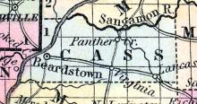
CASS COUNTY, situated toward the western part of Illinois, on the southeast side of Illinois river. Area, 256 square miles. Seat of justice, Virginia. Pop in 1840, 2,981; in 1850, 3,253. (Fanning's, 1853)
CEDARVILLE A post office of Stephenson county. Thos. J. Wilcoxon, Postmaster. (Hawes' Illinois State Gazetteer..., 1859)
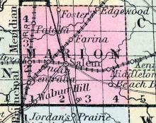
CENTRALIA A post town of Marion county, on the line of the Illinois Central railroad, at the point where the Chicago branch connects with the main trunk. But slow progress has been made by its inhabitants in comparison with other towns on the line of the road, and at the present time (1857) the population is less than 800. James M. O'Melveny, Postmaster. (Hawes' Illinois State Gazetteer..., 1859)
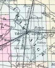
CHAMPAIGN COUNTY, situated in the eastern part of Illinois, and drained by Kaskaskia, Embarrass, Sangamon, and Vermilion rivers. Area, 792 square miles. Face of the country generally level, containing much prairie with fine timber. Seat of justice, Urbana. Pop. in 1840, 1,475; in 1850, 2,649. (Fanning's, 1853)
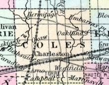
CHARLESTON, p. t., Coles co., Ill., 78 ms. E. by S. of Springfield; from W. 707 ms. Pop. 2,262. (Fanning's, 1853)
CHARLESTOWN A post village, in a township of the same name, capital of Coles county, on the border of Grand Prairie near Embarrass river, 81 miles east by south from Springfield. The Terre Haute and Alton railroad passes through the place. Jacob J. Brown, Postmaster. (Hawes' Illinois State Gazetteer...,1859)
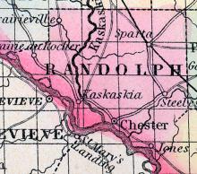
CHESTER a thriving post-village, capital of Randolph county, Illinois, on the Mississippi river, about 1 mile below the entrance of the Kaskaskia, and 149 miles from Springfield. It has considerable business, as the surplus produce of the county is mostly shipped at this place. A weekly newspaper is published here. Population in 1863, estimated at 1600. (Baldwin's New and Complete Gazetteer of the United States..., 1854)
CHICAGO Population in 1850, 30,000. This place is situated on the W. shore, and towards the S. end of Lake Michigan, at the point where the river of the same name enters the lake. ... This place has had a rapid growth, and from its position in the great line of communication between the E. and W., is destined to become a large city. In 1832 it contained only 5 small stores, and 250 inhabitants. Only 4 vessels had arrived during the year before.
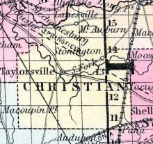
CHRISTIAN COUNTY, situated in the central part of Illinois. Area, 350 square miles. Seat of justice, Edinburgh. Pop. in 1840, 1,878; in 1850, 3,203. (Fanning's, 1853)
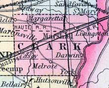
CLARK COUNTY, situated on the eastern boundary of Illinois, on the west side of Wabash river. Area, 500 square miles. Seat of justice, Marshall. Pop. in 1830, 3,124; in 1840, 7,453; in 1850, 9,532. (Fanning's, 1853)
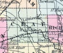
CLAY COUNTY, III. Situated in the s. E. part of the state. It contains 475 sq. ms. Surface level, soil fertile. Drained by Little Wabash r. Capital, Lewisville. There were in 1840, neat cattle 9,033, sheep 2,483, swine 12,033; wheat 4,050 bush. produced, rye 430, Ind. com 144,189, oats 18,850, potatoes 8,770, tobacco 2,430 pounds, cotton 1,396, sugar 2,772 ; 5 stores, cap. $2,750; 2 tanneries, 6 grist m.. 4 saw m. Cap. in manufac. $12,880. 6 sch. 134 scholars. Pop.
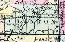
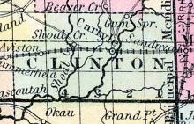
CLINTON COUNTY, situated in the southern part of Illinois, and traversed by Kaskaskia river. Area, 480 square miles. This county is well-watered, and contains both timber and prairie lands. Seat of justice, Carlyle. Pop., in 1830, 2,330; in 1840, 3,718; in 1850, 5,139. (Fanning's, 1853)
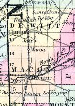
CLINTON, p.v., DeWitt co., Ill., 64 ms. E.N.E. of Springfield; from W. 739 ms. Watered by Salt creek. (Fanning's, 1853)
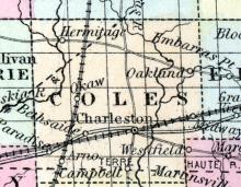
COLES COUNTY, situated in the eastern part of Illinois. Area, 1,248 square miles. Seat of justice, Charleston. Pop. in 1840, 9,616 ; in 1850, 9,335. (Fanning's, 1853)
COLLINSVILLE A post village of Madison county, 86 miles south by west, from Springfield, and 14 miles east-north-east from St. Louis; some considerable milling is done at this place. Joseph W. Griffith, Postmaster. (Hawes' Illinois State Gazetteer..., 1859)
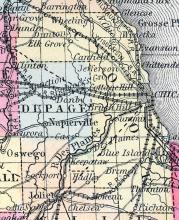
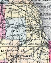
COOK COUNTY, situated on the easterly boundary of Illinois, on the west side of Lake Michigan, and watered by Des Plaines, Chicago, and Du Page rivers. Area, 864 square miles. Face of the country generally level, containing prairies; soil fertile. Seat of justice, Chicago. Pop. in 1835, 7,500; in 1840, 10,201; in 1850, 43,385. (Fanning's, 1853)
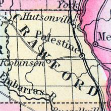
CRAWFORD COUNTY, situated on the westerly boundary of Illinois, with Wabash river on the east, and Embarrass river on the southwest. Area, 426 square miles. Face of the county variegated by hills and plains; soil productive. Seat of justice, Palestine. Pop. in 1820, 3,024 ; in 1830, 3,117 ; in 1840, 4,422 ; in 1850, 7,135. (Fanning's, 1853)
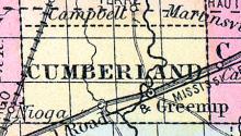
CUMBERLAND COUNTY, situated near the easterly part of Illinois. Area, ----- square miles. Seat of justice, Greenup. Pop. in 1850, 3,720. (Fanning's, 1853)
DANVILLE, p-v., capital of Vermillion co., Ill., 130 E. by n. Springfield, 657 W. Situated on the n. side of Vermillion r., near the entrance of the n. fork. It is on a dry, sandy, and elevated surface, with an open prairie on the s.; but on other sides surrounded by a heavy growth of timber. It has 3 churches—1 Presbyterian, 1 Baptist, and 1 Methodist—a U. S. land office, 17 stores, a printing office issuing a weekly newspaper, 100 dwellings, 3 schools, and 503 inhabitants.

