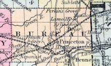
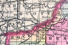
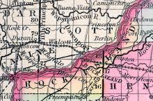
PRINCETON, p-v., capital of Bureau co., Ill., 135 N. Springfield, 808 W. It contains a court house, jail, and a number of dwellings. It was laid out in 1833. (Haskell's Complete Descriptive and Statistical Gazetteer of the the United States...,1843)
All States // Missouri // Illinois // Iowa
Displaying 201 - 250 of 262
State: Illinois
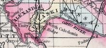
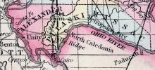
Pulaski County, Is., c. h. at Caledonia. In the Southern extremity of the state, between the Ohio and Mississippi. (Gazetteer of the United States of America, 1854)
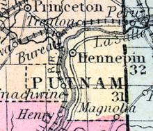
PUTNAM COUNTY, situated toward the north part of Illinois, and traversed by Illinois river. Area, 325 square miles. Seat of justice, Hennepin. Pop. in 1840, 2,131; in 1850, 3,924. (Fanning's, 1853)
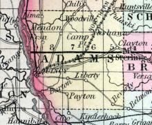
QUINCY, p-v., capital of Adams co., Ill., 101 s. Springfield, 884 W. Situated on a bluff, on the E. side of Mississippi r., 125 ins. above the mouth of Illinois r., by water, and contains a court house, which cost $20,000, 4 churches—1 Congregationalist, 1 Episcopal, 1 Methodist, and 1 Baptist—25 stores, a United States land office, a large steam flouring and saw m., a carding machine, about 200 dwellings, and 1,500 inhabitants. The court house stands on a fine public square.
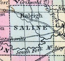
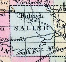
RALEIGH, a post-township in Saline Co., Illinois. Population, 1092. (Baldwin's New and Complete Gazetteer of the United States..., 1854)
RALEIGH A post village, capital of Saline county, on the middle fork of Saline creek, 175 miles south-south-east from Springfield. Willis A. Spiller, Postmaster. (Hawes' Illinois State Gazetteer...,1859)
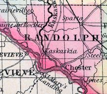
RANDOLPH COUNTY, situated on the southwesterly boundary of Illinois, with Mississippi river on the southwest, and traversed by the Kaskaskia. Area, 540 square miles. Seat of justice, Kaskaskia. Pop. in 1810, 7,275; in 1820, 3,492; in 1830, 4,436; in 1840, 7,944; in 1850, 11,079. (Fanning's, 1853)
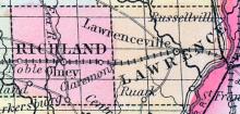
RICHLAND COUNTY, situated in the southeasterly part of Illinois. Area square miles. Seat of justice, Olney. Pop. in 1850, 4,012. (Fanning's, 1853)
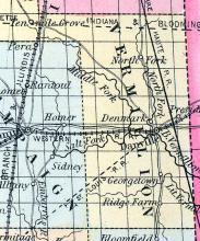
RIDGE FARM A post village of Vermilion county, 16 miles south from Danville. A. Smith, Postmaster. (Hawes' Illinois State Gazetteer..., 1859)
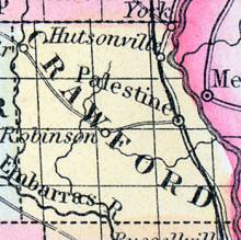
ROBINSON A post village of Crawford county, about 14 miles south-east from Springfield. Jas. Larrabee, Postmaster. (Hawes' Illinois State Gazetteer..., 1859)
ROCK ISLAND, county, III. Situated in the n. w. part of the stale, and contains 366 sq. ms. The Mississippi river runs on its w. boundary. Drained by Rock r. The surface is various. The soil is fertile, and along the Mississippi is a rich alluvion. Capital, Rock Island City. There were in 1840, neat cattle 3 266, sheep 763, swine 6,569; wheat 21,170 bushels produced, Ind. com 106,800, oats 20,815, potatoes 32,477, tobacco 750 pounds, sugar 1,261; 15 stores, cap.
ROCK ISLAND CITY, p-v., capital of Rock Island co., Ill, 150 Springfield, 879 W. It has been laid out on an extensive scale, at the junction of Rock r. and the Mississippi. It has been in contemplation to cut a canal from the Mississippi, above the rapids, to Rock r., by which an immense water power would be gained.
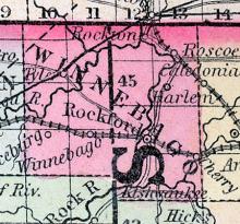
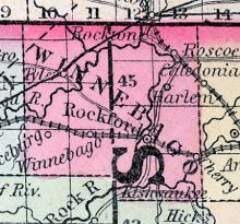
ROCKFORD, p-v., capital of Winnebago co.. Ill., 203 N. Springfield, 804 W. Situated at the rapids, on Rock r., where is an immense water power. It is on a high and beautiful prairie, on the w. side of the r. Steamboats come to this place, and a ferry here crosses the river. It contains a court house, several stores and dwellings. (Haskell's Complete Descriptive and Statistical Gazetteer of the the United States...,1840)
ROCKTON A flourishing post village of Winnebago county, is situated both on Rock river and on the Racine and Mississippi Railroad, and is 74 miles from Racine, 12 from Rockford, and 4 from Beloit. It is at the head of navigation of Rock river, and during the past season the steamer Rockford has regularly plied between this place and Rockford, as a passenger and freight boat. Via the river, this place is 18 miles from Rockford.
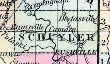
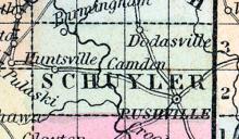
RUSHVILLE, p-v., capital of Schuyler co., Ill, 60 Springfield, 838 W. It is situated at the s. end of a beautiful prairie, and contains a court house of brick, 2 stories high, a jail, 4 churches— 1 Presbyterian, 1 Methodist, 1 Episcopal, and 1 Campbellite—150 dwellings, and about 1,000 inhabitants. (Haskell's Complete Descriptive and Statistical Gazetteer of the the United States...,1840)
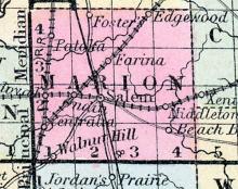
SALEM, p-v., capital of Marion co., Ill., 108 S. S. E. Springfield, 760 W. Situated on the border of the Grand prairie, and contains a court house, jail, and about 40 dwellings. (Haskell's Complete Descriptive and Statistical Gazetteer of the the United States...,1840)
SALINE COUNTY, situated in the southerly part of Illinois. Area, square miles. Seat of justice, Raleigh. Pop. in 1850, 5,558. (Fanning's, 1853)
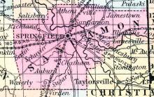
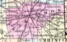
SANGAMON or SANGAMO COUNTY, situated in the central part of Illinois, and traversed by Sangamon river. Area, 900 square miles. Face of the country, even; soil, rich. Seat of Justice, Springfield, which is also the state capital. Pop. in 1830, 12,960; in 1840, 14,716; in 1850, 19,228. (Fanning's, 1853)
SCHUYLER, county, Ill. Situated in the w. part of the state, and contains 360 sq. ms. Illinois r. runs on its s. e. border. Drained by Crooked, Crane, McKee's, and Sugar creeks. The surface is undulating; soil, very fertile, and much of it heavily timbered. Capital Rushville. There were in 1840, neat cattle 6,760, sheep 5,246, swine 17,888; wheat 36,800 bush. produced, Ind. corn 298,033, oats 37,288, potatoes 23,545, tobacco 1,424 pounds; 1 commission house, cap.
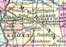
SCOTT, county, III. Situated in the w. part of the state, and contains 240 sq. ms. Illinois r. bounds it on the w., by small tributaries of which it is drained. Capital, Winchester. There were in 1840, neat cattle 8,354, sheep 6,409, swine 17,518; wheat 41,925 bush. produced, Ind. com 424,000, oats 51,435, potatoes 15,461; 1 com. house, cap. $35,000; 30 stores, cap. $44,420; 4 tanneries, 2 distilleries, 2 potteries,7 flouring m., 12 grist m., 17 saw m. Cap. in manufac. $77,405.
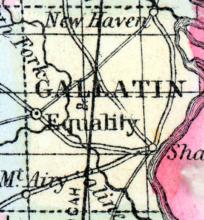
SHAWNEETOWN, p-v, Gallatin co. III, 195 s. s. E. Springfield, 762 W. Situated on the N. w. bank of Ohio r, 10 ins. below the mouth of the Wabash r. The bank of the r. has a gradual ascent, but not sufficient to prevent inundation in extreme high floods. It has 12 or 15 stores, a printing office, a bank, a United States land office, and 862 inhabitants. It was laid out in 1814, and is one of the most commercial places in southern Illinois. Pop. of the t.
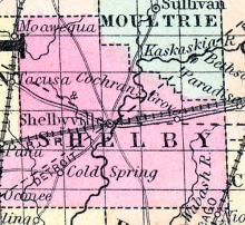
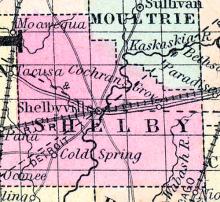
SHELBY, county, Ill. Situated a little S. E. of the centre of the state, and contains 1,030 square ms. Watered by Kaskaskia r. and its tributaries, and head branches of the s. fork of Sangamon r. The surface consists of timber land and prairie; soil, very fertile. Capital, Shelbyville. There were in 1840, neat cattle 8,423, sheep 6,693, swine 20,862; wheat 18,595 bush. produced, Ind. corn 385,220, oats 74,392, potatoes 6,729; 16 stores, cap.
SHELBYVILLE, p-v, capital of Shelby co, Ill,60 S. E. Springfield, 724 W. Situated on the w. bank of Kaskaskia r. It contains a brick court house, 40 feet square, 2 stories high, with a cupola, 9 stores, and about 50 dwellings. It contains a large sulphur spring. (Haskell's Complete Descriptive and Statistical Gazetteer of the the United States...,1843)
SPRINGFIELD, p-v., capital of Sangamon co, and of the State of Illinois, 103 N. by K. St. Louis, 780 from W. Situated near the centre of the state, 4 ms. S. Sangamon r., on the border of a beautiful and extended prairie. It wax laid out in 1822, and in 1823 contained 30 families, living in log cabins. Its principal growth has been within 10 years past.
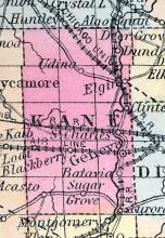
ST. CHARLES, a post-township in Kane co., Illinois. Population, 2132. (Baldwin's New and Complete Gazetteer of the United States..., 1854)
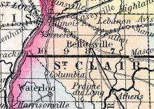
SAINT CLAIR COUNTY, situated on the southwesterly boundary of Illinois, with Mississippi river on the west, and traversed by the Kaskaskia. Area, 649 square miles. Face of the country, even; soil, generally fertile. Seat of justice, Bellville. Pop. in 1820, 5,253; in 1830, 7,078; in 1840, 13,631; in 1850, 20,181. (Fanning's, 1853)
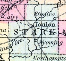
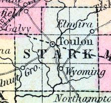
STARK, county, III. Situated N. W. of the centre of the state, and contains 288 sq. ms. The surface is undulating; soil, very fertile. Drained by Spoon r. Capital, Toulon. There were in 1840, neat cattle 1,461, sheep 1,322, swine 5,269; wheat 18,876 bush. produced, Ind. corn 61,655, oats 16,850, potatoes 8,112, tobacco 590 pounds, sugar 3,133; 3 stores, cap. $5,000; 1 tannery, 3 grist m., 7 saw m. Cap. in manufac. $500. 8 sch. 214 scholars. Pop.
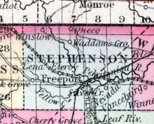
STEPHENSON COUNTY, situated on the north boundary of Illinois, and traversed by Pekatonica river. Area, 500 square miles. Seat of justice, Freeport. Pop. in 1840, 2,800; in 1850, 11,666. (Fanning's, 1853)
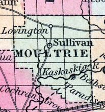
SULLIVAN. A post village of Moultrie county, about 10 miles west by north from Auburn. Joseph E. Eden, Postmaster. (Hawes' Illinois State Gazetteer...,1859)
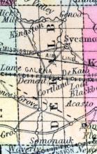
SYCAMORE, a post-village in De Kalb co., Illinois. Population, 975. (Baldwin's New and Complete Gazetteer of the United States..., 1854)
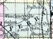
TAMAROA A post office of Perry county. (Hawes' Illinois State Gazetteer..., 1859)
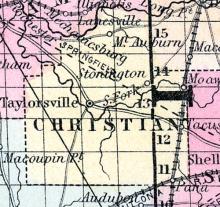
TAYLORSVILLE, p-v., Christian co., Ill., 26 S.E. Springfield, 754 W. (Haskell's Complete Descriptive and Statistical Gazetteer of the the United States...,1843)
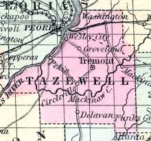
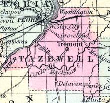
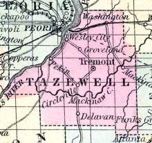
TAZEWELL, county, Ill. Situated a little N. of the centre of the state, and contains 1,130 sq. miles. Organized in 1827, from Peoria co.. Illinois r. runs on its s. w. border. Drained by Mackinaw r., and by branches of Sangamon r. The surface is level, or slightly undulating : soil, partly sandy prairie, and partly timbered with oak, and fertile. There are some swamps. Capital, Tremont.
THEBES, a post-village, capital of Alexander co., Illinois, on the Mississippi river, 144 miles below St. Louis. (Baldwin's New and Complete Gazetteer of the United States..., 1854)
TOULON, p-v., capital of Stark co., Ill. It contains a court house and a number of dwellings. (Haskell's Complete Descriptive and Statistical Gazetteer of the the United States...,1843)
TOULON A post village, capital of Stark county, about 35 miles north-west from Peoria, and 230 from St. Louis, and 150 miles from Chicago. Population 1,000. B. Turner, Postmaster. (Hawes' Illinois State Gazetteer...,1859)
TREMONT, p-v., capital of Tazewell co., Ill., 57 N. Springfield, 771 W. Situated on a pleasant prairie, and laid out in 1835. It contains a court house, jail, 3 churches, occupied by several denominations, 11 stores and groceries, 60 dwellings, and about 350 inhabitants. (Haskell's Complete Descriptive and Statistical Gazetteer of the the United States...,1843)
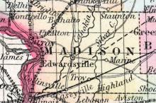
TROY a small post-village of Madison co., Illinois, about 22 miles S. E. from Alton. (Baldwin's New and Complete Gazetteer of the United States..., 1854)
TROY A post village of Madison county, situated in the south part, 15 miles from Mississippi river. James A. Henderson, Postmaster. (Hawes' Illinois State Gazetteer..., 1859)
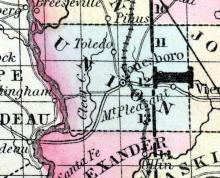
UNION COUNTY, situated on the southwesterly boundary of Illinois, with Mississippi river on the southwest. Area, 380 square miles. Seat of justice, Jonesborough. Pop. in 1820, 2,362; in 1830, 3,239; in 1840, 5,524; in 185O, 7,615. (Fanning's, 1853)
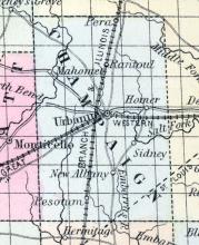
URBANNA(sic), p-v., capital of Champaign co., Ill., 92 E. N. E. Springfield, 691 W. Situated on the s. side of the Salt fork of Vermilion r., and contains a court house, jail, and about 30 dwellings. (Haskell's Complete Descriptive and Statistical Gazetteer of the the United States...,1840)
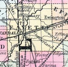
VANDALIA, p-v., capital of Fayette co., Ill, and formerly capital of the state, is situated on the w. bank of Kaskaskia r. It is regularly laid out, with streets crossing each other at right angles. There is a public square in the centre, and the streets are 80 feet wide. It contains a court house, jail, a U. S.
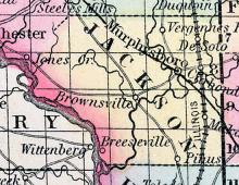
VERGENNES, A post village of Jackson county, about 10 miles north from Murphysboro. Moses H. Ross, Postmaster. (Hawes' Illinois State Gazetteer..., 1859)
VERMILION COUNTY, situated on the east boundary of Illinois. Area, 1,000 square miles. Face of the country, level; soil, rich. Seat of justice, Danville. Pop. in 1830, 5,836; in 1840, 9,303; in 1850, 11,492. (Fanning's, 1853)
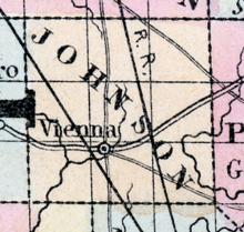
VIENNA, a post-village, capital of Johnson co., Illinois, 190 miles S. by E. of Springfield. Population in 1853, about 200. (Baldwin's New and Complete Gazetteer of the United States..., 1854)
VIENNA A post village, capital of Johnson county, 190 miles south by east from Springfield. Population, about 800. (Hawes' Illinois State Gazetteer...,1859)
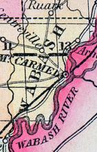
WABASH, county, Ill. Situated toward the S. E. part of the state, and contains 180 square ms. Wabash r. runs on its E. and S. border, and Bon Pas cr. on its W. border. Drained by Crawfish, Jordan, and Coffee creeks. The soil is generally fertile. Organized from Edwards co., in 1824. Capital, Mount Carmel. There were in 1840, neat cattle 5,570, sheep 3,602, swine 10,392; wheat 19,156 bush. produced, Ind.
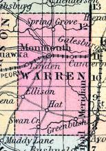
WARREN, county, Ill. Situated in the W. toward the N. part of the stale, and contains 900 sq. ms. Formed in 1825, organized in 1830. Mississippi r. bounds it on the W. Drained by Henderson r. and its branches, and by Ellison, Honey, and Camp creeks. The surface is level; soil very fertile, particularly on the streams. On the Mississippi it is liable to submersion.
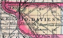
WARREN Warren is situated in the north-east part of Jo Daviess county. Its settlement commenced over 30 years ago. It is surrounded by a fine farming country. The soil is well watered, is of a rich black loam, deep and enduring, and surpassed by none in the west. Forty bushels of wheat to the acre have been raised at various places in the surrounding country.
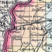
WARSAW, p-v., Hancock co., Ill., 114 W. N. W. Springfield, 892 W. Situated on the E. side of Mississippi r., at the foot of the Des Moines rapids. It contains several stores, a steam m., and about 800 inhabitants. It is near the site of old Fort Edwards. (Haskell's Complete Descriptive and Statistical Gazetteer of the the United States...,1843)
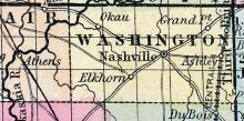
WASHINGTON COUNTY, situated toward the south part of Illinois, with Kaskaskia river on the northwest. Area, 656 square miles. Seat of justice, Nashville. Pop. in 1820, 1,517; in 1830, 1,674; in 1840, 4,810; in 1850, 6,593. (Fanning's, 1853)
WASHINGTON A post village in Tazewell county, situated on the line of the Peoria and Oquawka railroad, 71 miles north from Springfield. Robert W. Burton, Postmaster. (Hawes' Illinois State Gazetteer..., 1859)
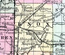
WATAGA A post office of Knox county, on the line of the Chicago and Burlington railroad. Distance from Chicago, 160 miles. Joseph Holyoke, Postmaster. (Hawes' Illinois State Gazetteer..., 1859)
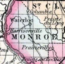
WATERLOO, p-v., capital of Monroe co.. Ill., 115 s. by w. Springfield, 828 W. Situated on elevated ground, and contains a brick court house, 2 stores, and about 25 dwellings. (Haskell's Complete Descriptive and Statistical Gazetteer of the the United States...,1843)

