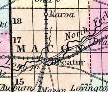
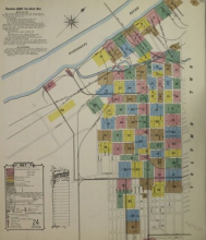
DECATUR, c. h., p. v., seat of justice of Macon co., Ill., 40 ms. E. of Springfield ; from W. 749 ms. Watered by north fork of Sangamon river. (Fanning's, 1853)
All States // Missouri // Illinois // Iowa
Displaying 51 - 100 of 262
State: Illinois
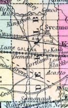
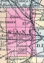
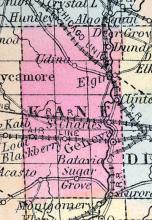
DEKALB COUNTY, situated in the northern part of Illinois. Area, 648 square miles. Seat of justice, Sycamore. Pop. in 1840, 1,697; in 1850, 7,450. (Fanning's, 1853)
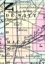
DE WITT COUNTY, situated near the central part of Illinois. Area, ----- square miles. Seat of justice, Clinton. Pop. in 1850, 5,002. (Fanning's, 1853)
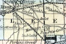
DIXON, The county seat of Lee county, is pleasantly situated on the banks of Rock river, where the Illinois Central railroad connects with the Fulton and Iowa Central branch of the Galena road, 98 miles west from Chicago. Until 1830, the whole district around Dixon was in possession of the Winnebago Indians, but in that year, John Dixon, Esq., purchased the land on which Dixon now stands, of Government. In 1837, Dixon was made the county seat, and in 1840 a court house was erected.
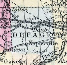
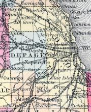
DUPAGE COUNTY, situated in the northeasterly part of Illinois. Area, 396 square miles. Seat of justice, Napierville. Pop. in 1840, 3,535; in 1850, 9,290. (Fanning's, 1853)
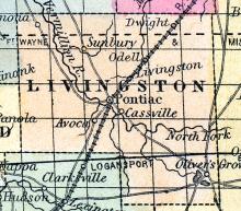
DWIGHT A flourishing post village of Livingston county, on the St. Louis, Alton and Chicago railroad, 74 miles from Chicago, and 211 miles from St. Louis. Was incorporated in 1854, has a church costing $300, and one public school house costing $3,500. Population, 250. David McWilliams, Postmaster. (Hawes' Illinois State Gazetteer..., 1859)
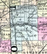
EARL(sic) A flourishing village of La Salle county, on the line of the C., B. & Q. R. R., 77 miles south of west from Chicago. (Hawes' Illinois State Gazetteer..., 1859)
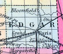
EDGAR COUNTY, situated on the easterly boundary of Illinois. Area, 630 square miles. Soil rich. Seat of justice, Paris. Pop. in 1830, 4,076; in 1840, 8,335; in 1850, 10,692. (Fanning's, 1853)
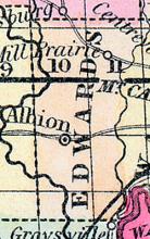
EDWARDS COUNTY, situated in the southeasterly part of Illinois. Area, 200 square miles. Face of the country undulating; soil generally fertile. Seat of justice, Albion. Pop. in 1820, 3,444; in 1830, 1,649; in 1840, 3,070; in 1850, 3,524. (Fanning's, 1853)
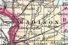
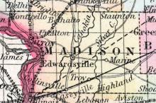
EDWARDSVILLE, A thriving post village, capital of Madison county, is pleasantly situated on the Cohokia creek, 74 miles south by west from Springfield, and in the midst of a highly productive district. Distance from St. Louis, about 15 miles; from Chicago, 295 miles. A United States land office is located there. The village contains several churches and an academy. Thos. J. Prickett, Postmaster. (Hawes' Illinois State Gazetteer..., 1859)
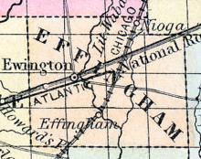
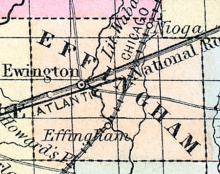
EFFINGHAM COUNTY, situated toward the southeasterly part of Illinois. Area, 486 square miles. Soil of middling quality. Seat of justice, Ewington. Pop in 1840, 1,675; in 1850, 3,799. (Fanning's, 1853)
EFFINGHAM A village in the county of the same name, and on the line of the Chicago branch of the Illinois Central railroad. Is increasing rapidly. (Hawes' Illinois State Gazetteer...,1859)
ELGIN Is a delightfully situated city of Kane county, on both banks of the Fox river, 42 miles north-west from Chicago, and is one of the most important business points in the county. At this place the Galena and Chicago Union and Fox River Valley railroads unite. Elgin was settled by Mr. Gifford, of New York, who located there with his family in the fall of 1835. Additions were soon made to their small number, by other hardy adventurers, principally, however, relatives of Mr.
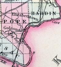
ELIZABETHTOWN A flourishing post village, capital of Hardin county, on the Ohio river, 219 miles south-south-east from Springfield. John E. Mott, Postmaster. (Hawes' Illinois State Gazetteer...,1859)
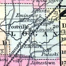
ELK HART CITY A thriving post village of Logan county, on the line of the St. Louis, Alton and Chicago railroad, 170 miles from Chicago and 115 miles from St. Louis. This place is rapidly advancing in wealth and population, being situated in a highly fertile district, and having direct access to the two great commercial cities of the west. W. Rankin, Postmaster. (Hawes' Illinois State Gazetteer..., 1859)
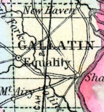
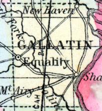
EQUALITY A post village, capital of Gallatin county, on Saline creek, 14 miles west by north from the Ohio river, and 187 miles south-southeast from Springfield. The manufacture of salt is carried on to some extent in the vicinity. A proposed line of railroad from Vincennes, Indiana, to Mound City, Illinois, will intersect the village. W. H. Crawford, Postmaster. (Hawes' Illinois State Gazetteer...,1859)
EVANSTON A beautiful village of Cook county, on the shore of lake Michigan, and on the line of the Chicago and Milwaukee railroad, 12 miles from the former city. The place has been built up principally by the enterprise of wealthy merchants and business men from Chicago, who have residences there. James B. Colvin, Postmaster. (Hawes' Illinois State Gazetteer..., 1859)
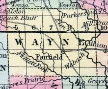
FAIRFIELD, p-v., and capital of Wayne co., Ill, 145 8. E. Springfield, 751 W. Situated on the border of Hargrove's prairie. It has a handsome brick court house, 3 or 4 stores, and about 30 dwellings. Large quantities of castor oil are manufactured here. (Haskell's Complete Descriptive and Statistical Gazetteer of the the United States...,1840)
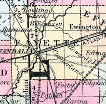
FAYETTE COUNTY, situated toward the central part of Illinois, and traversed by the Kaskaskia River. Area, 648 square miles. Seat of justice, Vandalia. Pop. in 1830, 2,704; in 1840, 6,328; in 1850, 8,075. (Fanning's, 1853)
Formed in February 1859 from portions of Vermilion. Last Illinois county created. County seat Paxton.
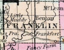
FRANKLIN COUNTY, situated in the southerly part of Illinois. Area, 866 square miles. Face of the country generally level; soil productive. Seat of justice, Benton. Pop. in 1820, 1,763; in 1830, 4,083; in 1840, 3,682; in 1850, 5,681. (Fanning's, 1853)
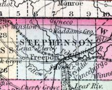
FREEPORT, Is., c. h. Stephenson co. On Peekatonica River. 200 miles N. from Springfield. (Gazetteer of the United States of America, 1854)
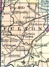
FULTON COUNTY, Ill. Situated toward the N. w. part of the state. Illinois r. runs on its s. e. border. Watered by Spoon r. and Copperas cr. The surface is undulating, consisting of timber land and prairie, and the soil is excellent. Capital, Lewiston.
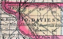
GALENA The city of Galena, capital of Jo Daviess county, is situated on Galena river, about 8 miles from the Mississippi, 450 miles north from St. Louis and 191 W.N.W. from Chicago. Thompson's Letters describe it thus: "The river on whose rocky shelf this city is built, is more properly an arm of the Mississippi river, setting up between lofty bluffs, around whose base it winds with picturesque effect.
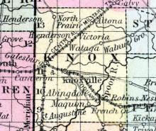
GALESBURG This flourishing city is situated in the north-east part of Knox county, 5 miles from Knoxville, the county seat, and 168 miles west-south-west from Chicago, at the junction of the Chicago and Burlington, Northern Cross, and Peoria and Oquawka railroads, giving it direct communication with the Mississippi and Illinois rivers, and the great central market of the west, Chicago.
GALLATIN COUNTY, situated on the easterly boundary of Illinois, with Ohio and Wabash rivers on the east. Area, 760 square miles. Face of the country, undulating; soil, productive. Seat of justice, Equality. Pop. in 1820, 3,155; in 1830, 7,405; in 1840, [illegible]; in 1850, 5,137. (Fanning's, 1853)
GENEVA The capital of Kane county, is situated on both sides of Fox river, and on the line of the Chicago, Fulton & Iowa railroad, 35 miles west from Chicago. The first claim to the land on which the town now stands, was made by Daniel S. H. Haight, Esq., in the spring of 1834. The name was adopted at the suggestion of Dr. Dyer, a prominent citizen of Chicago.
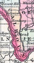
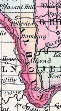
GILEAD, a post-village of Calhoun co., Illinois, near the Mississippi river, about 90 miles S. W. from Springfield, has several hundred inhabitants. It was formerly the county seat. (Baldwin's New and Complete Gazetteer of the United States..., 1854)
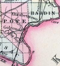
GOLCONDA a post-village, capital of Pope county, Illinois, on Ohio river, at the mouth of Lusk creek, 220 miles S. S. E. from Springfield. It has a brick court house. (Baldwin's New and Complete Gazetteer of the United States..., 1854)
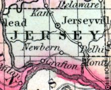
GRAFTON, a small post-village of Jersey county, Illinois, on the Mississippi river, about 84 miles S. W. from Springfield. Population, 222. (Baldwin's New and Complete Gazetteer of the United States..., 1854)
GRAFTON, A post village of Jersey County, on the Mississippi river, about 85 miles south-west from Springfield. Population, about 350. Wm. H. Allen, Postmaster. (Hawes' Illinois State Gazetteer..., 1859)
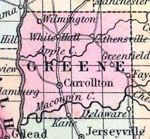
GREENE COUNTY, situated toward the westerly part of Illinois, with Illinois river on the west. Area, 942 square miles. Face of the country rolling; soil, fertile. Seat of justice, Carrollton. Pop. in 1830, 7,674; in 1840, 11,951; in 1850, 3,658. (Fanning's, 1853)
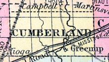
GREENUP, a small post-village, capital of Cumberland county, Illinois, on Embarras river, at the crossing of the National road, 111 miles E. S. E. from Springfield. Population, 948. (Baldwin's New and Complete Gazetteer of the United States..., 1854)
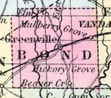
GREENVILLE, a neat and thriving post-village, capital of Bond co., Illinois, on the East fork of Shoal creek, on the National road, and on the railroad (unfinished) between Terre Haute and Alton, about 45 miles E. from the latter. It has a body of timber on the N., and on the S. a beautiful expanse of prairie.
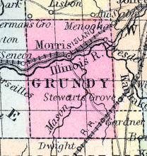
GRUNDY COUNTY, situated toward the northeastern part of Illinois, and traversed by Des Plaines river. Area, 324 square miles. Seat of justice, Morris. Pop. in 1850, 3,023. (Fanning's, 1853)
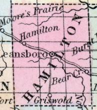
HAMILTON COUNTY, situated in the south easterly part of Illinois. Area, 432 square miles. Seat of justice, McLeansborough. Pop. in 1830, 2,616; in 1840, 3,945; in 1850, 6,362. (Fanning's, 1853)
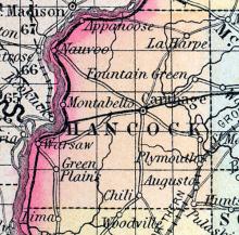
HANCOCK COUNTY, situated on the western boundary of Illinois, with Mississippi river on the west. Area, 775 square miles. Face of the country even, consisting of prairie land; soil productive. Seat of justice, Carthage. Pop. in 1830, 483; in 1840, 9,946; in 1850, 14,652. (Fanning's, 1853)
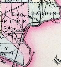
HARDIN COUNTY, situated in the southeastern part of Illinois, bounded on the east and south by Ohio river. Area, 100 square miles. Seat of justice, Elizabethtown. Pop. in 1840, 1,378; in 1850, 2,887. (Fanning's, 1853)
HARDIN, a post-village, capital of Calhoun county, Illinois, on the W. bank of the Illinois river, 85 miles S. W. from Springfield. Population, 596. (Baldwin's New and Complete Gazetteer of the United States..., 1854)
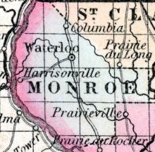
HARRISONVILLE, A post village of Monroe county, on the Mississippi river, about 28 miles below St. Louis. Noah B. Harlow, Postmaster. (Hawkes' Illinois State Gazetteer, 1859)
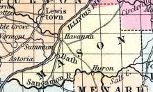
HAVANA, a thriving post-village, capital of Mason county, Illinois, is pleasantly situated on the E. bank of the Illinois river, opposite the mouth of the Spoon river, 218 miles, by water, from Chicago. The site is elevated about 50 feet, and the landing is convenient. The value of the produce shipped at this place, in 1852, was estimated at $200,000. Population in 1853, about 1000. (Baldwin's New and Complete Gazetteer of the United States..., 1854)
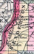
HENDERSON COUNTY, situated on the western boundary of Illinois, with Mississippi river on the west. Area, ----- square miles. Seat of Justice, Oquawka. Pop. in 1850, 4,612. (Fanning's, 1853)
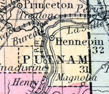
HENNEPIN A thriving post village, capital of Putnam county, on the left bank of the Illinois river, 115 miles north from Springfield. Steamboats navigate the river between its mouth and Hennepin, in all seasons except winter; it has an active business in shipping produce, the value of which Is estimated at about one million dollars annually. Chester Eddy, Postmaster. (Hawes' Illinois State Gazetteer...,1859)
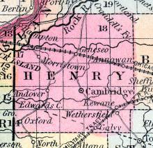
HENRY COUNTY, situated in the northwesterly part of Illinois, with Rock river on the northwest. Area, 840 square miles. Seat of justice, Cambridge. Pop. in 1840, 1,260; in 1850, 3,807. (Fanning's, 1853)
HIGHLAND A post office in Madison county. John R. Blattner, Postmaster. (Hawes' Illinois State Gazetteer..., 1859)
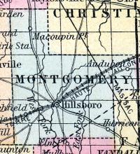
HILLSBOROUGH(sic), p-v, capital of Montgomery co. Ill, 64 s. Springfield, 768 W. It contains a court house, jail, 6 stores, 2 tanneries, 80 dwellings, and 400 inhabitants. (Haskell's Complete Descriptive and Statistical Gazetteer of the the United States...,1840)
Illinoistown, IL became East St. Louis, IL in 1861
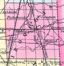
IROQUOIS COUNTY, situated on the east boundary of Illinois, and traversed by the Iroquois river. Area, 1,428 square miles. Seat of justice, Middleport. Pop. in 1840, 1,695; in 1850, 4,149. (Fanning's, 1853)
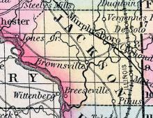
JACKSON COUNTY, situated on the southwest boundary of Illinois, on Mississippi river. Area, 576 square miles. Face of the country, even. Seat of justice, Brownsville. Pop. in 1820, 1,542; in 1830, 1,872; in 1840, 3,566; in 1850, 5,862. (Fanning's, 1853)
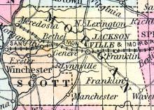
JACKSONVILLE Is a flourishing town, the capital of Morgan county, on the line of the Great Western railroad, 34 miles west from Springfield, and 222 from Chicago. It is also the central point of three other railroads, viz.: Jacksonville, Alton and St. Louis, Tonica and Petersburg, and the Illinois River railroads. All these roads have been put under contract, and will be completed at an early day.

