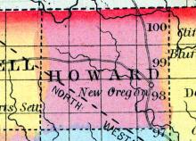
NEW OREGON is the county seat [Howard County, Iowa], and is situated on the Turkey River, in the eastern part of the county. The river affords a good water-power at this place. The town contains four general stores, one drug store, one hardware store, etc. (Hair's Iowa State Gazetteer..., 1865)
All States // Missouri // Illinois // Iowa
Displaying 201 - 250 of 1183
State: Iowa
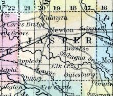
NEWTON, the county seat [Jasper County, Iowa], is a flourishing town of near 2,000 inhabitants, and is the centre of a heavy trade. The town is well supplied with mercantile houses and the ordinary kinds of manufactures, but a woolen factory is much needed. There are two newspaper offices, a national bank, and not a single “doggery.” There are three good public school houses and a good private seminary. Also four good church buildings.
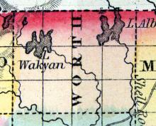
NORTHWOOD is the county seat, in the northern part of the county [Worth County, Iowa], on Shell Rock River, which affords good water power at this place. It has one general store, and one flour and saw mill. Population, 150. (Hair's Iowa State Gazetteer..., 1865)
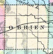
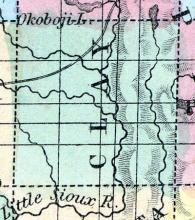
O’BRIEN COUNTY Was organized in 1860, and is in the second tier of counties from the northern boundary line of the State, and the second east of the western boundary. It is bounded on the north by Osceola County, on the east by Clay, on the south by Cherokee and on the west by Sioux. It contains 576 square miles, being twenty-four miles square. It is watered by the tributaries of the Little Sioux and Floyd Rivers.
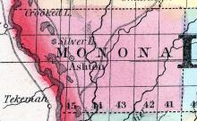
ONAWA is an incorporated town on the bottom lands of the Missouri River, three miles from the river, forty-five miles south of Sioux City, and sixty-five miles north of Council Bluffs. It was laid out in 1857 by the Monona Land Company. Among the first settlers were C. E. Whiting, J. E. Morrison, C. H. Holbrook, R. G. Fairchild, Charles Atkins, Wm. Burton and B. D. Holbrook. The surrounding country is well adapted to grain of all kinds, and probably the best stock-raising country in Iowa.
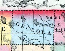
OSCEOLA, a county in the N. W. part of Iowa, bordering on Minnesota Territory, has an area of about 535 square miles. It is drained by the head waters of the Little Sioux river which flows into the Missouri. This county is not included in the census of 1850. County seat not located. Named in honor of the celebrated Seminole chief Osceola. (Baldwin's New and Complete Gazetteer of the United States..., 1854)
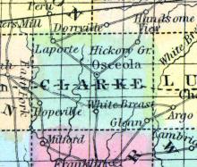
OSCEOLA, the county seat [Clarke County, Iowa], is located one mile east of the centre of the county, on the dividing ridge between the head waters of White Breast and Squaw Creek, is forty-five miles south of Des Moines City, and sixty-five miles west of Eddyville, the present terminus of the Burlington & Missouri River Railroad, and on the line of said road.
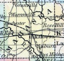
OSKALOOSA, a flourishing post-village, capital of Mahaska county, Iowa, 4 miles N. from the Des Moines river, and 70 miles W. S. W. from Iowa City. It has an elevated and healthy situation in the midst of an undulating and fertile country, in which prairies and forests of fine timber are distributed. Limestone and stonecoal abound in many parts of the county, and the streams furnish extensive water-power.
OTTUMWA, a thriving post-village, capital of Wapello county, Iowa, on the left bank of the Des Moines river, 75 miles N. W. from Keokuk. Improvements have been commenced on the river, which, when finished, will render it navigable for steamboats. The village is surrounded by a rich farming country. One or two newspapers are published here. (Baldwin's New and Complete Gazetteer of the United States..., 1854)
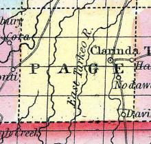
PAGE, a new county in the S. W. part of Iowa, bordering on Missouri, has an area of about 550 square miles. The Nodaway river flows through it from N. to S. The soil is good, though not extensively cultivated. Indian corn and wool are the staples. In 1850 this county produced 28,270 bushels of corn; 1998 of wheat; 2190 pounds of wool, and 197 tons of hay. County seat not located. Named in honor of Colonel Page, who was mortally wounded at Palo Alto.
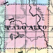
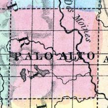
PALO ALTO, a new county in the N. W. part of Iowa, has an area of 550 square miles. It is intersected in the K. by the Des Moines river, and in the W. by Lizard river, an affluent of the first-mentioned stream, and also drained by two small tributaries of the Des Moines, one of which rises from a lake in the western part of the county. It is not included in the census of 1850.
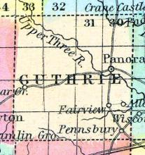
PANORA is the county seat [Guthrie County, Iowa], and is on the Raccoon River, forty-five miles west of Des Moines. It contains three churches, Baptist, Methodist and United Brethren, and a Lodge each of Masons and Good Templars; also three general stores, one drug store, one grocery, one flour mill, two woolen factories and two saw mills. The Guthrie County News is published weekly by E. B. Feron, and the Panora Ledger, weekly, by D. M. Harris.
PAOLI, the county seat, is a small post village in the central portion of the county, and about two miles from the south end of Medium Lake, and near the Des Moines River. (Hair's Iowa State Gazetteer..., 1865)
Post Office discontinued 1859. County seat moved to Emmetsburg.
PETERSON is the county seat, on the Little Sioux River, seventy miles northeast of Fort Dodge. It has a Methodist Episcopal church, and one general store. Population, 75. (Hair's Iowa State Gazetteer..., 1865)
County seat moved to Spencer, Iowa in 1871.
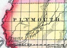
PLYMOUTH COUNTY Plymouth County was organized in 1858. It is in the western tier of counties, and the third from the northern boundary of the State. It is bounded on the north by Sioux County, on the east by Cherokee, on the south by Woodbury. It is watered by the Floyd River and its tributaries, which pass through the centre of the county in a south-westerly direction. The west fork of the Sioux River drains the southeastern corner of the county.
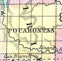
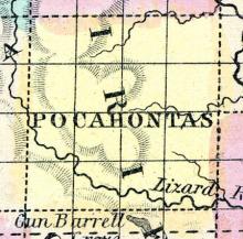
POCAHONTAS COUNTY Was organized in 1859. It is situated in the third tier of counties from the northern boundary of the State, and fourth east of Nebraska. It is bounded on the north by Palo Alto County, on the east by Humboldt and Webster, on the south by Calhoun, and on the west by Buena Vista. It is watered by the North Lizard fork, the west branch of the Des Moines and the head waters of the North Raccoon. Land is good, and portions of it better adapted to grass than grain.
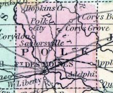
POLK COUNTY, situated in the central part of Iowa, and traversed by Des Moines river. Area, ----- square miles. Seat of justice, Des Moines. Pop. in 1850, 4,515. (Fanning's, 1853)
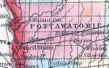
POTTAWATTAMIE COUNTY This county is bounded on the west by the Missouri River, south by Mills and Montgomery Counties, east by Cass County, and on the north by Shelby and Harrison Counties. It is twenty-four miles wide from north to south, and has an average length of forty miles from east to west. It is divided into twelve municipal townships, to-wit: Boomer, Crescent, Centre, Grove, James, Kane, Knox, Macedonia, Rockford, Silver Creek, Walnut, and York.
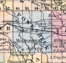
POWESHIEK, a new county in the S. E. central part of Iowa, has an area of 576 square miles. It is drained by the head streams of English river, and by Beaver and Prairie creeks, affluents of Iowa river, which touches its N. E. extremity. The North fork of Skunk river flows through the S. W. part. The soil is fertile. In 1850 this county produced 26,455 bushels of Indian corn; 3011 of wheat, and 1253 pounds of wool. Named from an Indian chief.
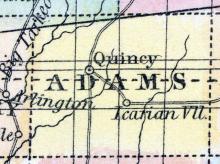
QUINCY, the county seat [Adams County, Iowa], is situated in the central western portion of the county, two miles east of the Middle Nodaway River, on high prairie, with a heavy body of timber on the west. It contains four general stores, one grocery, one drug store, one agricultural implement dealer and two flour mills. Population about 275. (Hair's Iowa State Gazetteer..., 1865)
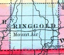
RINGGOLD, a new county in the S. S. W. part of Iowa, bordering on Missouri, has an area of about 540 square miles. It is traversed from N. to S. by the W. fork of Grand river. The soil is stated to be fertile, but deficient in timber. County seat is not yet located. Population in 1850, 96. (Baldwin's New and Complete Gazetteer of the United States..., 1854)
ROLFE, the county seat [Pocahontas County, Iowa], is in the northeastern part of the county, on the west branch of the Des Moines River. (Hair's Iowa State Gazetteer..., 1865)
SAC CITY is the county seat [Sac County, Iowa], situated on Raccoon River, seventy-five miles northwest of Boonsboro. It contains two churches, Baptist and Methodist, and a Lodge of Masons: also three general stores. Population 100. (Hair's Iowa State Gazetteer..., 1865)
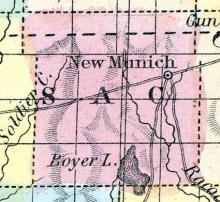
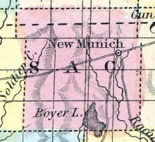
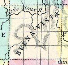
SAC COUNTY Was organized in 1858, and lies in the fourth tier of counties from the northern line of the State, and the third east of the Missouri River. It is bounded on the north by Buena Vista County, on the east by Calhoun, on the south by/Carroll and Crawford, and on the west by Ida. It contains five hundred and seventy-six square miles, being twenty-four miles square.
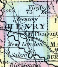
SALEM, a post-village of Henry co., Iowa, about 30 miles W. from Burlington. (Baldwin's New and Complete Gazetteer of the United States..., 1854)
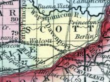
SCOTT, county, Iowa. Situated in the E. part of the ter., and contains 540 sq. ms. The surface is gently rolling; soil, very fertile. The Mississippi r. bounds it on the 8. K., and Wabesipinica r. runs on its N. border. Drained by Allen's, Duck, and Crow creeks. Capital, Davenport. There were in 1840, neat cattle 2,375, sheep 273, swine 5,643; wheat 25,740 bush, produced, Ind. corn 46,057, oats 11,720, potatoes 30,002; 16 stores, cap.
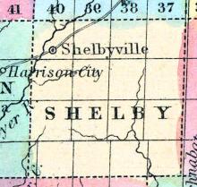
SHELBY, a new county in the W. part of Iowa, contains about 550 square miles. The Boyer river, an affluent of the Missouri, flows through the county in a S. W. direction. It is not yet organized, and has few inhabitants. (Baldwin's New and Complete Gazetteer of the United States..., 1854)
Note: County seat until 1859, replaced by Harlan, Iowa.
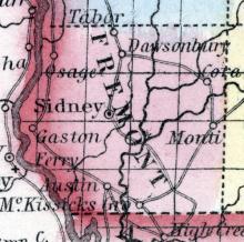
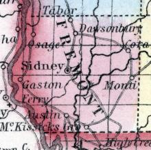
SIDNEY, the county seat of Fremont county, is beautifully situated upon a high plateau of prairie land, near the centre of the county. It was laid out in June, 1852. It has a four-horse line of stage coaches every day going north and south; and the same number passing through east and west, to and from Nebraska City. There are also two arrivals and departures of the United States Express every week.
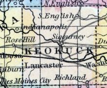
SIGOURNEY, a thriving post-village of Keokuk county, Iowa, 45 miles S. W. from Iowa City. It is the largest place in the county, of which it was formerly the capital. It is stated that the seat of justice will again be established here. Pop. in 1853, about 800. (Baldwin's New and Complete Gazetteer of the United States..., 1854)
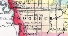
SIOUX CITY, the county seat [Woodbury County, Iowa], is situated on the Missouri River, two miles below the mouth of the Big Sioux River. It contains six general stores, one hardware store, one drug store, one grocery, and numerous mechanical shops of various kinds. It is to he the terminus of the DuBuque and Sioux City Railroad, and the starting point of one of the branches of the Pacific Railroad.
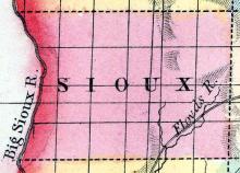
SIOUX, (usually pronounced soo.) a new county in the W. N. W. part of Iowa, has an area of about 1100 square miles. It is bounded on the W. by the Sioux river, and also drained by the head waters of Floyd's river, an affluent of the first-mentioned stream. This county is not included in the census of 1850. County seat not located. (Baldwin's New and Complete Gazetteer of the United States..., 1854)
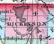
SPIRIT LAKE CITY is south of Spirit Lake, and at the head of Okoboji Lake, and is the county seat. It contains three general stores, one saw mill, one flour mill, two hotels, etc. (Hair's Iowa State Gazetteer..., 1865)
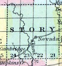
STORY, a new county near the centre of Iowa, has an area of 576 square miles. It is traversed from N. to S. by Skunk river, an affluent of the Mississippi. The surface is diversified by prairies and groves; the soil is productive, but mostly uncultivated. The census of 1850 gives no returns for this county. Extensive beds of stone coal are found.
TABOR is twelve miles north of Sidney, on the stage route from St. Joseph to Council Bluffs. It contains two churches, Congregational and Methodist, two general stores and one sawmill. Population, 250. (Hair's Iowa State Gazetteer..., 1865)
TAMA, a new county in the E. central part of Iowa, has an area of 720 square miles. The S. part is intersected by the Iowa river, and the N. part by Wolf creek, it is also drained by Salt and Deep creeks. The surface is undulating or nearly level; the soil is mostly fertile. The name is derived from an Indian chief. (Baldwin's New and Complete Gazetteer of the United States..., 1854)
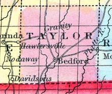
TAYLOR, a new county in the S. S. W. part of Iowa, bordering on Missouri, has an area of about 560 square miles. The river One Hundred and Two rises in the county, and the West fork of Grand river drains the E. part. The land is said to be fertile, but not heavily timbered. Indian corn, wool, and butter are the staples. In 1850 this county produced 10,000 bushels of Indian corn; 785 of oats; 1008 pounds of wool, and 4215 of butter.
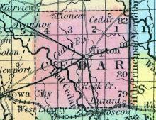
TIPTON, a post-village, capital of Cedar county, Iowa, 25 miles E. N. E. from Iowa City. It is pleasantly situated on an undulating upland prairie, having groves of timber in the vicinity. Tipton is a place of active business, containing 6 stores, and 1 steam mill. Population in 1853, about 800. (Baldwin's New and Complete Gazetteer of the United States..., 1854)
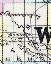
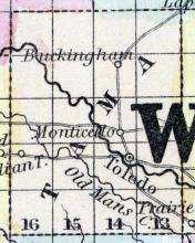
TOLED0, the county seat [Tama County, Iowa], is situated upon parts of sections 15 and 22, in township 83, range 15, west of the 5th principal meridian, on high, rolling prairie, and is sheltered on the west and northwest by a range of bluffs about a mile distant, covered with timber. Deer Creek runs between the bluff and the town.
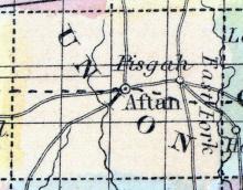
UNION, a county in the S. S. W. part of Iowa, has an area of 432 square miles. It is drained by the Crooked fork of Grand river, and several of its affluents. The soil is said to be fertile, but is mostly uncultivated. The census gives us no information respecting this county, which has but few inhabitants. Capital, not yet established. (Baldwin's New and Complete Gazetteer of the United States..., 1854)
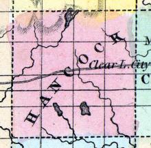
UPPER GROVE, the county seat [Hancock County, Iowa], is situated in the southeastern corner of the county. It has two churches, Christian and Methodist; also two general stores, one flour mill, and furniture and blacksmith shops, &c. Population, 90: of township, 120. (Hair's Iowa State Gazetteer..., 1865)
Note: Upper Grove post office existed from 1857 to 1885. The town no longer appears on maps. Near Amsterdam, Iowa.
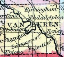
VAN BUREN, a county in the S. E. part of Iowa, bordering on Missouri, has an area of 408 square miles. The Des Moines river flows diagonally through the county in a south-east direction, dividing it into nearly equal parts. It is also drained by Fox river, and by Indian, Chequest, and Lick creeks. The surface is diversified by prairies and forests. The soil is exceedingly rich and well watered.
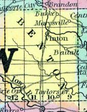
VINTON, a small post-village, capital of Benton co., Iowa, about 55 miles N. W. from Iowa City. Its origin is very recent. (Baldwin's New and Complete Gazetteer of the United States..., 1854)
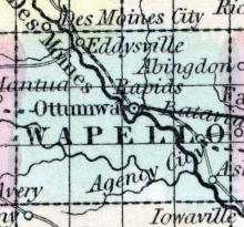
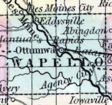
WAPELLO, a county in the S. S. E. part of Iowa, has an area of 432 square miles. The River des Moines flows diagonally through the middle of the county, in a S. E. direction; it is also drained by Cedar and Avery's creeks. The surface is slightly undulating; the soil is highly productive. Grain of various kinds, grass, and pork are the staples.
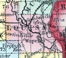
WAPELLO, a post-village, capital of Louisa county, Iowa, on the right bank of the Iowa river, about 12 miles from its mouth, 42 miles S. S. E. from Iowa City, and 5 miles W. from the Mississippi river. The Iowa river is navigable for steamboats during three months in the year, and affords motive-power at this place to a large flouring mill, saw mill, and carding machine. A weekly newspaper is published here. Laid out in 1839.
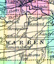
WARREN, a new county in the S. central part of Iowa, has an area of 432 square miles. It is traversed by South river, an affluent of the Des Moines, and by the Prairie branch of Middle river, and also drained by Squaw, Otter, and other creeks. The surface is divided between prairies and woodlands: the soil is productive. Indian corn, butter, and wool are the staples.
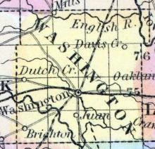
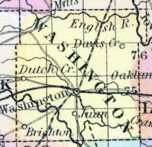
WASHINGTON COUNTY, IOWA. Situated in the w. toward the s. part of the territory, and contains 618 sq. ms. Drained by Iowa r., and Long and Crooked crs., and by a branch of Checauque or Skunk r. The climate is healthy; soil, fertile. Capital, Washington. There were in 1840, neat cattle 600, sheep 39, swine 864; wheat 2,210 bush, produced, Indian corn 100,055, oats 2,155, potatoes 1,357; 5 stores, capital $3,900; 2 saw m. Pop.
WASHINGTON, a thriving post-village, capital of Washington county, Iowa, is situated on a prairie, about 30 miles S. S. W. from Iowa City, and 7 miles N. from Skunk river. The Dubuque and Keokuk projected railroad passes through the place. It contains a court house, and several stores. (Baldwin's New and Complete Gazetteer of the United States..., 1854)
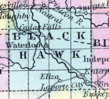
WATERLOO, the county seat of Black Hawk county, is located almost in the exact geographical centre of the county, and is ninety-three miles west of DuBuque.

