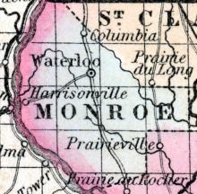
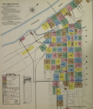
HARRISONVILLE, A post village of Monroe county, on the Mississippi river, about 28 miles below St. Louis. Noah B. Harlow, Postmaster. (Hawkes' Illinois State Gazetteer, 1859)
All States // Missouri // Illinois // Iowa
Displaying 351 - 400 of 1183
State: Illinois
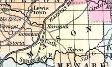
HAVANA, a thriving post-village, capital of Mason county, Illinois, is pleasantly situated on the E. bank of the Illinois river, opposite the mouth of the Spoon river, 218 miles, by water, from Chicago. The site is elevated about 50 feet, and the landing is convenient. The value of the produce shipped at this place, in 1852, was estimated at $200,000. Population in 1853, about 1000. (Baldwin's New and Complete Gazetteer of the United States..., 1854)
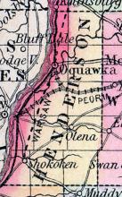
HENDERSON COUNTY, situated on the western boundary of Illinois, with Mississippi river on the west. Area, ----- square miles. Seat of Justice, Oquawka. Pop. in 1850, 4,612. (Fanning's, 1853)
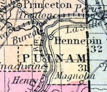
HENNEPIN A thriving post village, capital of Putnam county, on the left bank of the Illinois river, 115 miles north from Springfield. Steamboats navigate the river between its mouth and Hennepin, in all seasons except winter; it has an active business in shipping produce, the value of which Is estimated at about one million dollars annually. Chester Eddy, Postmaster. (Hawes' Illinois State Gazetteer...,1859)
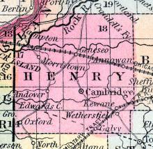
HENRY COUNTY, situated in the northwesterly part of Illinois, with Rock river on the northwest. Area, 840 square miles. Seat of justice, Cambridge. Pop. in 1840, 1,260; in 1850, 3,807. (Fanning's, 1853)
HIGHLAND A post office in Madison county. John R. Blattner, Postmaster. (Hawes' Illinois State Gazetteer..., 1859)
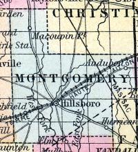
HILLSBOROUGH(sic), p-v, capital of Montgomery co. Ill, 64 s. Springfield, 768 W. It contains a court house, jail, 6 stores, 2 tanneries, 80 dwellings, and 400 inhabitants. (Haskell's Complete Descriptive and Statistical Gazetteer of the the United States...,1840)
Illinoistown, IL became East St. Louis, IL in 1861
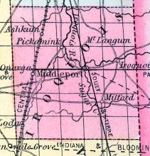
IROQUOIS COUNTY, situated on the east boundary of Illinois, and traversed by the Iroquois river. Area, 1,428 square miles. Seat of justice, Middleport. Pop. in 1840, 1,695; in 1850, 4,149. (Fanning's, 1853)
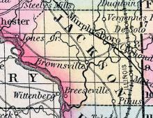
JACKSON COUNTY, situated on the southwest boundary of Illinois, on Mississippi river. Area, 576 square miles. Face of the country, even. Seat of justice, Brownsville. Pop. in 1820, 1,542; in 1830, 1,872; in 1840, 3,566; in 1850, 5,862. (Fanning's, 1853)
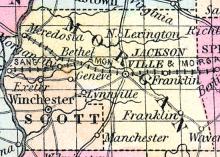
JACKSONVILLE Is a flourishing town, the capital of Morgan county, on the line of the Great Western railroad, 34 miles west from Springfield, and 222 from Chicago. It is also the central point of three other railroads, viz.: Jacksonville, Alton and St. Louis, Tonica and Petersburg, and the Illinois River railroads. All these roads have been put under contract, and will be completed at an early day.
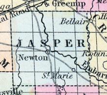
JASPER COUNTY, situated in the southeasterly part of Illinois. Area, 475 square miles. Soil poor. Seat of justice, Newton. Pop. in 1840, 1,472; in 1850, 3,220. (Fanning's, 1853)
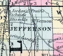
JEFFERSON COUNTY, situated toward the south part of Illinois. Area, 576 square miles. Face of the country level. Seat of justice, Mount Vernon. Pop. in 1820, 691; in 1830, 2,555; in 1840, 5,762; in 1850, 8,109. (Fanning's, 1853)
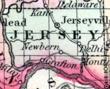
JERSEY COUNTY, Is., c. h. at Jerseyville. Bounded N. by Greene and E. by Macoupin co., S. by Madison co. and the Mississippi River, separating it from Missouri, and W. by the Illinois River, separating it from Calhoun co. Watered on the N. by a branch of the Illinois River. (Gazetteer of the United States of America, 1854)
JERSEYVILLE, A thriving post village, capital of Jersey county, is situated on the line of the Jacksonville, Alton and St. Louis railroad, on a prairie 71 miles south-west from Springfield, and about 10 miles from the Mississippi river; it contains a court house and a newspaper office. Chas. H. Jackson, Postmaster. (Hawkes' Illinois Gazetteer, 1859)
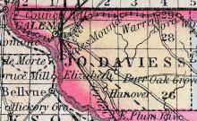
JO-DAVIESS COUNTY, situated at the northwest corner of Illinois, on the Mississippi river. Area, 724 square miles. Soil rich. Seat of justice, Galena. Pop. in 1830, 2,111; in 1840, 6,180; in 1850, 18,604. (Fanning's, 1853)
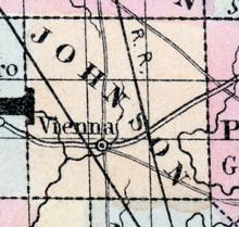
JOHNSON COUNTY, situated in the south part of Illinois. Area, 486 square miles. Face of the country uneven; soil fertile. Seat of justice, Vienna. Pop. in 1820, 843; in 1830, 1,596; in 1840, 3,626; in 1850, 4,113. (Fanning's, 1853)
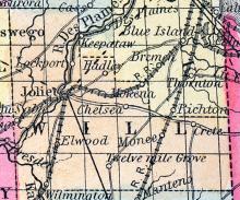
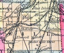
JOLIET A city in the township of the same name, and the capital of Will county, situated on the Des Plaines river, the Illinois and Michigan canal, the Chicago and Rock Island, and the Chicago, Alton and St. Louis railroads, 40 miles from Chicago; the northern Indiana and Joliet railroad, and the Joliet and Mendota railroad also terminate here.
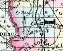
JONESBOROUGH(sic), a small post-village, capital of Union county, Illinois, on the Central railroad, 160 miles S. from Springfield, and 10 miles from the Mississippi, contains several churches and stores. The county has extensive beds of coal, iron ore, lead, and porcelain clay. (Baldwin's New and Complete Gazetteer of the United States..., 1854)
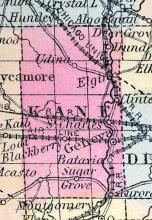
KANE COUNTY, situated in the northeast part of Illinois, and traversed by Fox river. Area, 1,296 square miles. Seat of justice, Geneva. Pop. in 1840, 6,501; in 1850, 16,703. (Fanning's, 1853)
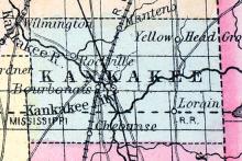
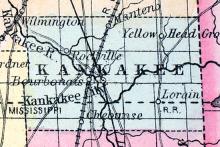
KANKAKEE, a new county in the northeastern part of Illinois, lying between the counties of Iroquois and Will, and bordering on the state of Indiana. Area, about 590 square miles. It is watered by the river Kankakee and its tributaries. The surface is generally level, and consists chiefly of prairie. Capital, Kankakee City. (Baldwin's New and Complete Gazetteer of the United States..., 1854)
KANKAKEE CITY, capital of Kankakee county, Illinois, on the right bank of Kankakee river, at the point where the Chicago and Illinois railroad crosses this stream. (Baldwin's New and Complete Gazetteer of the United States..., 1854)
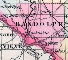
KASKASKIA, a handsome post-village of Randolph county, Illinois, is finely situated on the right or W. bank of the Kaskaskia river, about 2 miles E. from the Mississippi river, and 142 miles S. from Springfield. It has the distinction of being the oldest town in Illinois, or perhaps in the whole Western States, having been settled by the French about the year 1673. It was the first capital of the territory, and retained that rank until 1818.
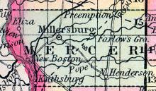
KEITHSBURG, a thriving post-village, capital of Mercer county, Illinois, on the Mississippi, 150 miles N. W. from Springfield. A large quantity of produce is bought and shipped at this village, which has a good landing. Population, about 500. (Baldwin's New and Complete Gazetteer of the United States..., 1854)
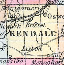
KENDALL COUNTY, situated on the northeasterly part of Illinois, and traversed by Fox river. Area, 324 square miles. Seat of justice, Yorkville. Pop. in 1850, 7,730. (Fanning's, 1853)
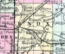
KNOX COUNTY, situated toward the west part of Illinois. Area, 792 square miles. Seat of justice, Knoxville. Pop. in 1830, 274; in 1840, 7,060; in 1850, 13,279. (Fanning's, 1853)
KNOXVILLE, p-v., capital of Knox co., Ill., 100 w. n. w. Springfield, 829 W. Situated on an elevated and rich prairie, near Haw cr. Organized in 1832, and contains a courthouse, 40 dwellings, and 250 inhabitants. (Haskell's Complete Descriptive and Statistical Gazetteer of the the United States...,1840)
LA SALLE, p-v.. La Salle co., Ill., 133 N. N. E. Springfield, 788 W. Situated in a prairie adjoining Peoria lake, and contains over 100 dwellings. (Haskell's Complete Descriptive and Statistical Gazetteer of the the United States...,1840)
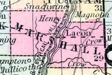
LACON, p-v, capital of Marshall co. Ill, 99 N. Springfield, 816 W. Situated on the E. side of Illinois r, and contains 3 stores, and about 20 dwellings. (Haskell's Complete Descriptive and Statistical Gazetteer of the the United States...,1840)
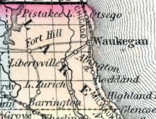
LAKE COUNTY, situated at the northeast corner of Illinois, on Lake Michigan. Area, 425 square miles. Seat of justice, Waukegan. Pop. in 1840, 2,634; in 1850, 14,226. (Fanning's, 1853)
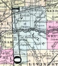
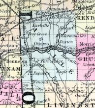
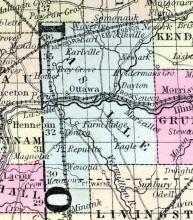
LA SALLE COUNTY, situated in the northerly part of Illinois, and traversed by Illinois river. Area, 1,864 square miles. Seat of justice, Ottawa. Pop. in 1840, 9,348; in 1850, 17,815. (Fanning's, 1853)
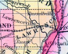
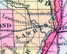
LAWRENCE COUNTY, situated on the southeasterly boundary of Illinois, with Wabash river on the southeast. Area, 560 square miles. Seat of justice, Lawrenceville. Pop. in 1830, 3,668; in 1840, 7,092; in 1850, 6,122. (Fanning's, 1853)
LAWRENCEVILLE, p-v, capital of Lawrence co. Ill, 159 8. E. by E. Springfield, 697 W. Situated on the w. bank of Embarrass r, and contains a brick court house, 5 stores, 1 grist m, and about 70 dwellings. (Haskell's Complete Descriptive and Statistical Gazetteer of the the United States...,1840)
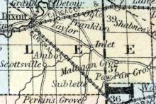
LEE COUNTY, situated in the north part of Illinois and traversed by Rock river. Area, 720 square miles. Seat of justice, Dixon. Pop. in 1840, 2,035; in 1850, 5,292. (Fanning's, 1853)
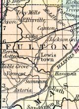
LEWISTOWN, p-v., capital of Fulton co., Ill., 55 N. w. Springfield, 833 W. It contains a neat court house, a jail, 3 stores, and about 40 dwellings. It is 4 ms. E. of Spoon r. and 12 ms. w. of Illinois r. (Haskell's Complete Descriptive and Statistical Gazetteer of the the United States...,1840)
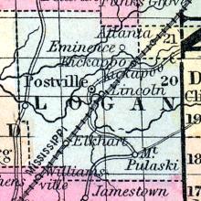
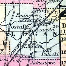
LINCOLN A thriving post village, capital of Logan county, on the line of the St. Louis, Alton and Chicago railroad, 159 miles west of south from Chicago. Has several churches and one newspaper office. Robt. Leslie, Postmaster. (Hawes' Illinois State Gazetteer..., 1859)
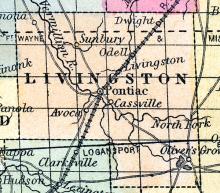
LIVINGSTON COUNTY, situated toward the northeast part of Illinois. Area, 1.026 square, miles. Seat of justice. Pontiac. Pop. in 1840, 759 ; in 1850, 1,558. (Fanning's, 1853)
LOCKPORT, a handsome post-village of Lockport township, Will co., Illinois, on the Des Plaines river, and on the Illinois and Michigan canal, 32 miles S. W. from Chicago. It is a place of active business, possessing extensive water-power, and quarries of good building stone. The general office of the canal company is located here. Population in 1853, estimated at 2000.
LOGAN COUNTY, situated in the central part of Illinois. Area, 529 square miles. Seat of justice, Postville. Pop. in 1840, 2,333; in 1850, 5,128. (Fanning's, 1853)
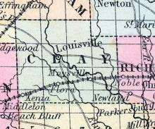
LOUISVILLE A post village of Clay county, on the Little Wabash river, 110 miles south-east from Springfield. Benj. G. Sullivan, Postmaster. (Hawes' Illinois State Gazetteer...,1859)
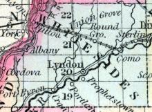
LYNDON A thriving post village of Whiteside county, on Rock river, about 150 miles north from Springfield. L.E.B. Holt, Postmaster. (Hawes' Illinois State Gazetteer..., 1859)
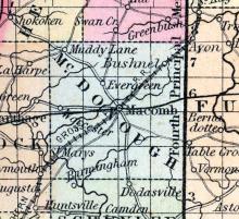
MACOMB, p-v, capital of MacDonough co. Ill, 86 n. w. Springfield, 859 W. Situated in a fertile prairie, 2 ms. s. of the Drowning Fork of Crooked cr. It contains a court house, 4 stores, and about 125 inhabitants. (Haskell's Complete Descriptive and Statistical Gazetteer of the the United States...,1840)
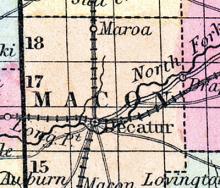
MACON COUNTY, situated in the central part of Illinois. Area, 1,400 square miles. Seat of justice, Decatur. Pop. in 1830, 1,122; in 1840, 3,039, in 1850, 3,988. (Fanning's, 1853)
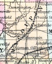
MACOUPIN COUNTY, situated toward the western boundary of Illinois. Area, 800 square miles. Face of the country level, and soil productive. Watered by Macoupin river. Seat of justice, Carlinville. Pop. in 1835, 5,554; in 1840, 7,826; in 1850, 12,355. (Fanning's, 1853)
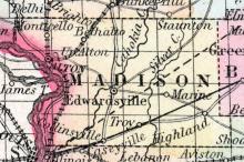
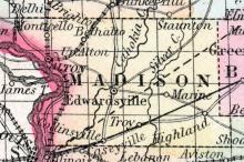
MADISON COUNTY, situated on the westerly boundary of Illinois, on the Mississippi river. Area, 760 square miles. Face of the country level; soil fertile. Seat of justice, Edwardsville. Pop. in 1830, 6,229; in 1840, 14,433; In 1850, 20,436. (Fanning's, 1853)
MARENGO, a thriving post-village and railroad station of McHenry county, Illinois, on the railroad between Chicago and Galena, 66 miles W. N. W. from the former. Population in 1853, about 650. (Baldwin's New and Complete Gazetteer of the United States..., 1854)
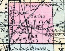
MARION COUNTY, situated toward the south part of Illinois. Area, 576 square miles. Seat of justice, Salem. Pop. in 1830, 2,125; in 1840, 4,742; in 1850, 6,720. (Fanning's, 1853)
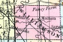
MARION, a thriving post-village, capital of Williamson county, Illinois, on the Main road leading N. and S. through the centre of the state, 172 miles S. by E. from Springfield. Laid out in 1839. (Baldwin's New and Complete Gazetteer of the United States..., 1854)
MARSEILLES A post village of La Salle county, on the Illinois river and canal, 76 miles by water from Chicago. It is a prominent shipping point for grain, etc. Coal is found in the vicinity. Albert Butterfield, Postmaster. (Hawes' Illinois State Gazetteer..., 1859)

