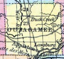
OUTAGAMIE, a county in the N. E. central part of Wisconsin, contains 675 square miles. It is intersected by Neenah and Wolf rivers. The surface is nearly level, and mostly covered with forests of pine and other timber, from which large quantities of lumber are procured. The soil is moderately productive. Lumber, grass, potatoes, Indian corn, and oats are the staples. The Neenah river furnishes abundant water-power. Outagamie was separated from Brown county in 1850. Capital, Appleton.
All States // Missouri // Illinois // Iowa
Displaying 1151 - 1183 of 1183
State: Wisconsin
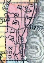
OZAUKEE, a county in the E. S. E. part of Wisconsin, bordering on Lake Michigan, contains about 225 square miles. It is intersected by the Milwaukee river, and also drained by Cedar creek. The surface is rolling and heavily timbered; the soil fertile. The productions are similar to those of Washington county, out of which it was formed in 1853. Capital, Ozaukee, or Port Washington. (Baldwin's New and Complete Gazetteer of the United States..., 1854)
Formed in 1858 from portions of Dunn County.
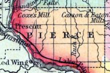
PIERCE, a new county in the W. part of Wisconsin, contains about 570 square miles. It is bounded on the W. by the St. Croix river, on the E. by Red Cedar river, on the S. W. by the Mississippi, and drained by the Rush and Menomonie rivers. The surface is diversified by prairies and forests. It was formed in 1851, by a division of St. Croix county. Capital, Prescott. (Baldwin's New and Complete Gazetteer of the United States..., 1854)
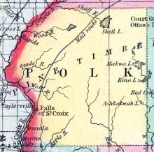
POLK, a new county in the N. W. part of Wisconsin, contains about 2500 square miles. The St. Croix river forms its entire boundary on the W., separating it from Minnesota Territory, it is also drained by Shell river. The surface is uneven, and extensively covered with forests in which the pine is found. Polk county was formed in 1853, out of the N. part of St. Croix county. Capital, St. Croix Falls. (Baldwin's New and Complete Gazetteer of the United States..., 1854)
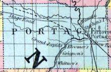
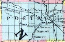
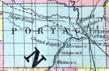
PORTAGE COUNTY, situated in the central part of Wisconsin, and traversed by Wisconsin river. Area, 800 square miles. Seat of justice, Fort Winnebago. Pop. in 1840, 1,623; in 1850, 1,850. (Fanning's, 1853)
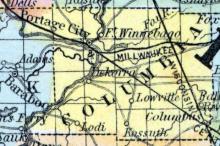
PORTAGE CITY, capital of Columbia co. Wis. on the La Crosse railroad (unfinished) and on the ship canal connecting the Wisconsin and Fox rivers, at the noted Winnebago Portage, 40 miles N. from Madison. It is at the head of navigation on the Wisconsin river, and is a depot for large quantities of pine lumber. Two steamboats ply constantly during the summer between this place and Galena.
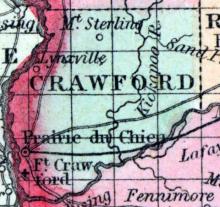
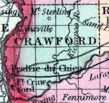
PRAIRIE DU CHIEN, a beautiful post-village, capital of Crawford co., Wisconsin, is finely situated on the Mississippi, 4 miles above the mouth of Wisconsin river, and about 100 miles W. from Madison. It is one of the oldest towns of the state. It is the W. terminus of the Milwaukee and Mississippi railroad, in course of construction. The site is a level plain or prairie, 6 or 8 miles long and 1 or 2 miles wide, enclosed on the E. by rocky bluffs.
Formed in 1879 from portions of Chippewa and Lincoln Counties.
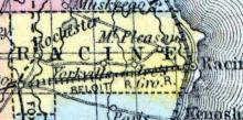
RACINE COUNTY, situated on the east boundary of Wisconsin, with Lake Michigan on the east. Area, 610 square miles. Face of the country, undulating; soil, fertile. Seat of justice, Racine. Pop. 1840, 3,475; in 1850, 10,833. (Fanning's, 1853)
RACINE, a city of Wisconsin, and capital of Racine county, is situated on the W. shore of Lake Michigan, at the mouth of Root river, 25 miles S. by E. from Milwaukee, and 70 miles N. from Chicago. It is the second city of the state in population and commerce, and has one of the best harbors on the lake, formed by the mouth of the river, which admits vessels drawing 12 feet of water. The city is built on a plain elevated about 40 feet above the surface of the lake.
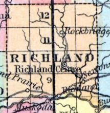
RICHLAND COUNTY, situated in the westerly part of Wisconsin, with Wisconsin river on the south. Area, -------- square miles. Seat of justice, Richmond. Pop. in 1850, 903. (Fanning's, 1853)
RIPON, a post-village in Fond du Lac co., Wisconsin, on the inlet of Green lake, 77 miles N. W. by W. from Milwaukee. Brockway College, a Presbyterian institution, is located at this place. It contains sash, chair, cabinet, and woollen factories. (Baldwin's New and Complete Gazetteer of the United States..., 1854)
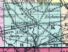
ROCK COUNTY, situated on the south boundary of Wisconsin, and traversed by Rock river. Area, -------- square miles. Face of the country, even; soil, rich. Seat of justice, Janesville. Pop. in 1840, 1,701; in 1850, 20,708. (Fanning's, 1853)
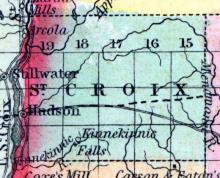
SAINT CROIX COUNTY, situated in the northwesterly part of Wisconsin, with Mississippi river on the southwest, and St. Croix river and lake on the west. Area, -------- square miles. Seat of justice, St. Croix. Pop. in 1850, 624. (Fanning's, 1853)
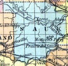
SAUK COUNTY, situated in the central part of Wisconsin, with Wisconsin river on the south, which also traverses it in the northeast. Area, -------- square miles. Seat of justice, Adams. Pop. in 1850, 4,371. (Fanning's, 1853)
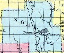
SHAWANO, County, was established at the January session of the legislature in 1853, most of its limits were taken from Oconto. The seat of justice is at Shawana village, near the outlet of the lake of same name. (John Warren Hunt, Wisconsin Gazetteer..., Madison, 1853)
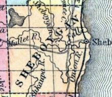
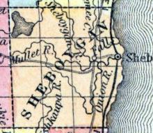
SHEBOYGAN COUNTY, situated on the east boundary of Wisconsin, with Lake Michigan on the east. Area, 500 square miles. Seat of justice, Sheboygan. Pop. in 1840, 133; in 1850, 8,378. (Fanning's, 1853)
SHEBOYGAN, a thriving town, capital of Sheboygan county, Wisconsin, is situated on Lake Michigan, at the mouth of a river of its own name, 62 miles N. from Milwaukee, and 110 N. E. from Madison. The Milwaukee and Green Bay railroad, in progress, passes through it, and a plank-road about 40 miles in length has been completed to Fond du Lac. Sheboygan was settled in 1836, abandoned in 1840, and in 1845 it had 150 inhabitants.
Stephens' Point, a thriving post-village in the above township, on the Wisconsin river, about 130 miles N. from Madison, and 6 miles above Plover, the county seat. The surrounding country abounds in pines, and the lumber business is carried on here extensively. Plank-roads are projected from Green bay and Berlin to this place. The river affords extensive water-power. It contains 9 stores, 4 hotels, 3 mills. 1 manufactory of harness, 1 of sashes, 1 of wagons, and 2 blacksmith shops.
Formed in 1875 from portions of Clark, Lincoln, Marathon, and Chippewa Counties.
Formed in 1854 from portions of Crawford and La Crosse Counties.
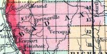
New name for Bad Axe County, which was renamed in 1862.
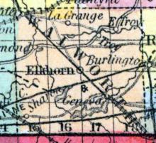
WALWORTH COUNTY, situated on the south boundary of Wisconsin, with Geneva lake at the south. Area, 675 square miles. Face of the country, undulating; soil, rich. Seat of justice, Elkhorn. Pop. in 1840, 2,611; in 1850, 17,862. (Fanning's, 1853)
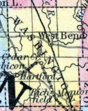
WASHINGTON COUNTY, situated on the east boundary of Wisconsin, with Lake Michigan on the east. Area, ------ square miles. Seat of justice, Ozaukee. Pop. in 1840, 343; in 1850, 19,465. (Fanning's, 1853)
WATERTOWN, a city of Wisconsin, on the line between Dodge and Jefferson counties, on Rock river, and on the Fond du Lac and Rock River railroad, 40 miles E. by N. from Madison. It is finely situated on both sides of the river, at the Great Bend, where its course is changed from N. W. to nearly due S. The rapids above the town have a fall of 24 feet, from which abundant water-power may be derived. Watertown is the largest place in the county.
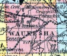
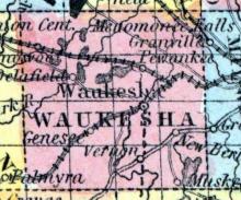
WAUKESHA COUNTY, situated in the southeast part of Wisconsin. Area, -------- square miles. Seat of justice, Waukesha. Pop. in 1850, 19,248. (Fanning's, 1853)
WAUKESHA, formerly PRAIRIEVILLE, a flourishing post-village, capital of Waukesha county, Wisconsin, on the Pishtaka or Fox river, and on the Milwaukee and Mississippi railroad, 18 miles W. from Milwaukee, and 60 miles E. from Madison. Plank-roads have been laid in several directions from the village. These facilities for trade, together with the water-power of the river, and the fertility of the adjacent land, render this a place of active business.
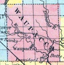
WAUPACA, a county in the N. central part of Wisconsin, contains 720 square miles. It is drained by Waupaca, Wolf, and Embarras rivers. The surface is uneven, and partly occupied with forests. Organized in 1851, and therefore not included in the census of 1850. Capital, Mukwa. (Baldwin's New and Complete Gazetteer of the United States..., 1854)
WAUSAU or WASSAU, formerly BIG BULL FALLS, a post-village, capital of Marathon co., Wisconsin, on the Wisconsin river, 175 miles N. from Madison. Large quantities of lumber are procured here annually, and sent down the river by rafts. It contains 5 stores, 4 flour mills, and 9 saw mills. It has a migratory population, estimated at from 300 to 600. (Baldwin's New and Complete Gazetteer of the United States..., 1854)
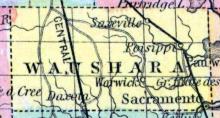
WAUSHARA, a oounty in the central part of Wisconsin, contains about 650 square miles. It is. drained by the Neenah, White, and Pine rivers. Organized in 1852. Capital, Sacramento. (Baldwin's New and Complete Gazetteer of the United States..., 1854)
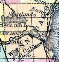
WINNEBAGO COUNTY, situated toward the east part of Wisconsin, with Winnebago lake on the east, and other bodies of water in the Interior. Area, 500 square miles. Seat of justice, Oshkosh. Pop. in 1840, 135; in 1850, 10,167. (Fanning's, 1853)

