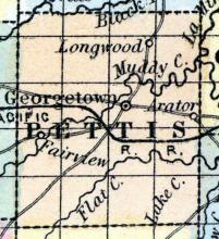
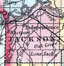
GEORGETOWN, a small post-village, capital of Pettis county, Missouri, on the W. fork of La Mine river, 37 miles W. S. W. from Booneville. (Baldwin & Thomas, A New and Complete Gazetteer of the United States ... 1854)
All States // Missouri // Illinois // Iowa
Displaying 851 - 900 of 1183
State: Missouri
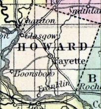
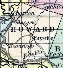
GLASGOW, a flourishing post-village of Howard county, Missouri, on the left (N.) bank of the Missouri river, 72 miles by land N. W. from Jefferson City. It is a place of considerable trade ; the surplus produce of Howard county, and some others, being mostly shipped here. A plank-road is projected between Glasgow and Huntsville. Two newspapers are published.
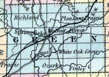
GREENE COUNTY, situated toward the southwesterly part of Missouri, and traversed by White river. Area, 1,000 square miles. Face of the country level, and in some parts hilly; soil productive. Seat of justice, Springfield. Pop. in 1840, 5,372; in 1850, 12,785. (Fanning's, 1853)
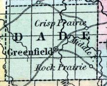
GREENFIELD, a post-village, capital of Dade co., Missouri, on the West fork of Sac River. (Baldwin & Thomas, A New and Complete Gazetteer of the United States ... 1854)
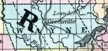
GREENVILLE, a post-village, capital of Wayne Co., Missouri, on St. Francis river, 150 miles S. E. from Jefferson City. (Baldwin's New and Complete Gazetteer of the United States..., 1854)
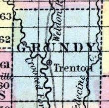
GRUNDY COUNTY, situated toward the northern part of Missouri, and traversed by numerous branches of Grand river. Seat of justice, Trenton. Pop. in 1850, 3,006. (Fanning's, 1853)
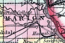
HANNIBAL, a flourishing town of Marion county, Missouri, on the Mississippi river, 158 miles above St. Louis, and 15 miles below Quincy, in Illinois. It is advantageously situated for commerce, and is rapidly increasing in population and business. Large quantities of hemp, tobacco, pork, &c., which are raised in the vicinity, are shipped at this point. The adjacent country is very productive, and rather populous.
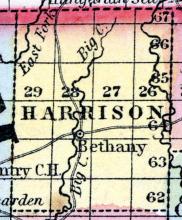
HARRISON COUNTY, situated on the northern boundary of Missouri. Area, -------- square miles. Seat of justice, Bethany. Pop. in 1850, 2,447. (Fanning's, 1853)
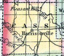
HARRISONVILLE The county seat of Cass county, on the east fork of Grand river, about 300 miles from St. Louis, and 160 miles from Jefferson City. The chief products are corn and wheat—timber, oak and walnut— mineral coal. The average price of uncultivated land is $5 per acre, cultivated $15. There is one stage line from Harrisonville to Independence, 35 miles. Harrisonville contains two churches, viz., one Baptist and one Methodist, one Masonic Lodge, viz., Prairie Lodge, No.
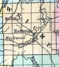
HARTSVILLE(sic) The county seat of Wright county, situated on Woods' Fork of Gasconade river, 94 miles south-west of Jefferson City. (Missouri State Gazetteer..., 1860)
December 1858 John Brown target. Five slaves taken to Kansas.
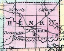
HENRY COUNTY, situated in the western part of Missouri, and traversed by South Grand river. Area, 750 square miles. Seat of justice, Clinton. Pop. in 1840, 4,726; in 1850, 4,052. (Fanning's, 1853)
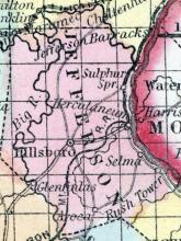
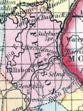
HERCULANEUM, a post-village of Jefferson county, Missouri, on the Mississippi river, 30 miles below St. Louis. It was formerly the county seat, and a great mart for the lead procured from the mines in the vicinity. The place was almost entirely destroyed by a flood in 1844. (Baldwin & Thomas, A New and Complete Gazetteer of the United States ... 1854)
HERMANN, a post-village, capital of Gasconade CO., Missouri, on the right bank of the Missouri river, 49 miles E. from Jefferson City, was settled by Germans in 1837. Population in 1850, 944. (Baldwin & Thomas, A New and Complete Gazetteer of the United States ... 1854)
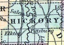
HERMITAGE, a small post-village, capital of Hickory county, Missouri, near the right or E. bank of Pomme de Terre river, 80 miles W. S. W. from Jefferson City. (Baldwin & Thomas, A New and Complete Gazetteer of the United States ... 1854)
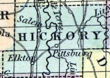
HICKORY COUNTY, situated toward the southwesterly part of Missouri. Area, -------- square miles. Seat of justice, Hermitage. Pop. in 1850, 2,329. (Fanning's, 1853)
HICKORY CREEK A post village of Audrain county, Cuivre township, situated on the Cuivre creek, 22 miles from Mexico, the county seat, 90 miles from St. Louis, and 72 from Jefferson city. It was first settled by W. Moore and Samuel Still in 1832. The post office has been established about 19 years. It contains one Presbyterian and one Baptist Church, one general store, three physicians, two saw mills, one boot and shoe dealer, &c.
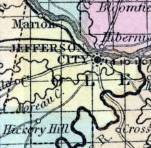
HICKORY HILL, A post village of Cole county, Clark township, situated near the Osage river, 145 miles from St. Louis and 20 miles from Jefferson City, the county seat. It was first settled by Messrs.
HILLSBORO, The county seat of Jefferson county, Central township, is situated about four miles from the Iron Mountain Railroad, 30 miles from St. Louis, and about a hundred from Jefferson City. It was first settled by John Carver, in the year 1828, and contains one good school house, a Masonic lodge, viz: Joachim Lodge, No. 164, and a population of 100. (The Missouri State Gazetteer and Business Directory, 1860)
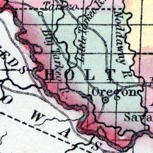
HOLT COUNTY, situated on the westerly boundary of Missouri, with Missouri river on the southwest. Area, -------- square miles. Seat of justice, Oregon. Pop. in 1850, 3,957. (Fanning's, 1853)
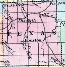
HOUSTON, a small post-village, capital of Texas county, Missouri, 3 miles from Piney river, and 100 miles S. from Jefferson City. It was laid out about 1847. (Baldwin's New and Complete Gazetteer of the United States..., 1854)
HOWARD COUNTY, situated toward the northern part of Missouri, with Missouri river on the south and west. Area, 398 square miles. Soil fertile. Seat of justice, Fayette. Pop. in 1830, 10,844; in 1840, 13,108; in 1850, 13,969. (Fanning's, 1853)
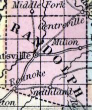
HUNTSVILLE, a post-village, capital of Randolph county, Missouri, 78 miles N. by W. from Jefferson City. The East Chariton river passes very near or through the village. An effort is making to build a plankroad from Glasgow to this place. (Baldwin & Thomas, A New and Complete Gazetteer of the United States ...1854)
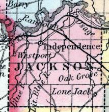
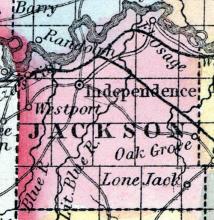
INDEPENDENCE, capital of Jackson co., Mo., 146 W.N.W. Jefferson city, 1072 W [Washington DC]. It is situated 6 ms. s. Missouri r[iver], and is a flourishing v[illage].
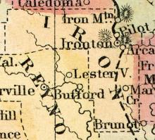
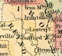
Formed in 1857 from portions of Madison, Reynolds, St. Francois, Washington and Wayne counties.
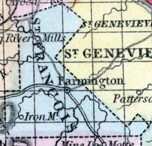
IRON MOUNTAIN, A post village of St. Francois county, Iron township, 14 miles from Farmington, the county seat, situated on the Iron Mountain railroad, 81 miles from St.
IRONTON, The county seat of Iron county, Arcadia township, is pleasantly and romantically situated in the midst of a rich valley of land one mile from the present terminus of the Iron Mountain railroad. There is no portion of the State which presents to the lover of nature more grand and imposing scenery than is found here. Within one mile of the town the far-famed Pilot Knob lifts its more than gigantic battlements towards the heavens, the valleys are rich and verdure, aboun
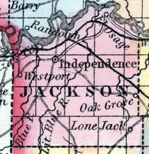
JACKSON COUNTY, situated on the west boundary of Missouri, with Missouri river on the north. Area, 525 square miles. Soil fertile. Seat of justice, Independence. Pop. in 1840, 7,612; in 1850, 14,000. (Fanning's, 1853)
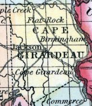
JACKSON, a post-village, capital of Cape Girardeau county, Missouri, 200 miles E. S. E. from Jefferson City, and 10 miles from the Mississippi river. It contains a court house, a bank, United States land-office, a newspaper office, and numerous stores. (Baldwin's New and Complete Gazetteer of the United States..., 1854)
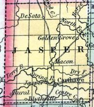
JASPER COUNTY, situated on the west boundary of Missouri. Area, 980 square miles. Seat of justice, Jasper. Pop. in 1850, 4,223. (Fanning's, 1853)
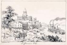
JEFFERSON CITY, capital of the State of Missouri, and seat of justice of Cole county, on the right bank of the Missouri river, 155 miles by water W. from St. Louis, and 980 miles from Washington. Lat. 38° 36' N. ; Lon. 92° 8' W. The situation is elevated and picturesque, commanding a fine view of the river and of the cedar-crowned cliffs on the opposite shore.
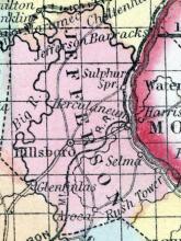
JEFFERSON COUNTY, situated on the easterly boundary of Missouri, with Mississippi river on the east. Area, 500 square miles. Face of the country broken; soil generally sterile. Seat of justice, Hillsborough. Pop. in 1820, 1,835; in 1830, 2,586; in 1840, 4,296; in 1850, 6,928. (Fanning's, 1853)
Scene of December 1858 John Brown raid to liberate enslaved African-Americans.
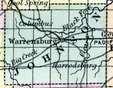
JOHNSON COUNTY, situated in the westerly part of Missouri. Area, 785 square miles. Seat of justice, Warrensburgh. Pop. in 1840, 4,471; in 1850, 7,464. (Fanning's, 1853)
KANZAS(sic), a pleasant post-village of Jackson county, Missouri, on the Missouri river, three-quarters of a mile below the mouth of Kanzas river, and 14 miles W. from Independence. It has a good landing, and an active business. Great numbers of emigrants pass through this place. It contains several churches and (in 1853) about 1000 inhabitants. (Baldwin & Thomas, A New and Complete Gazetteer of the United States ... 1854)
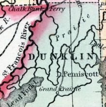
KENNET, formerly Butler, a small post village, capital of Dunklin co., Mo., about 330 miles S. E. from Jefferson City. (Baldwin's New and Complete Gazetteer of the United States..., 1854)
KENNETT The county seat of Dunklin county, in the south-eastern portion of the State, about 260 miles from Jefferson City. (Missouri State Gazetteer..., 1860)
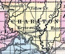
KEYTESVILLE, a post-village, capital of Chariton co., Missouri, on Wolf creek, a few miles from its entrance into Chariton river, 91 miles N. W. from Jefferson City. It has a court house and several stores. (Baldwin & Thomas, A New and Complete Gazetteer of the United States ... 1854)
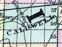
KINGSTON, a post-village, capital of Caldwell CO., Mo., near Shoal creek, 120 miles in a straight line N. W. from Jefferson City. (Baldwin & Thomas, A New and Complete Gazetteer of the United States ... 1854)
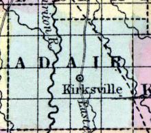
KIRKSVILLE, The county seat of Adair County, Benton township, is a flourishing town beautifully situated on the western margin of a high rolling prairie on the summit of the "Grand Divide," on the located line of the North Missouri Railroad, 216 miles from St. Louis, and 151 miles from Jefferson City. There are five stage routes running from this place, viz: to Canton 65 miles, Macon City 85, Lancaster 25, Trenton 61, and to Shelbyville 45 miles.
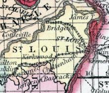
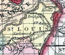
KIRKWOOD, A post village of St. Louis county, Bonhomme township, 13 miles from St. Louis, the county seat , situated on the Pacific Railroad. It contains three churches, viz. Presbyterian, Catholic, and Episcopalean, also an institution called the De Peres Scientific and Literary Academy, under the superintendence of Rev. E.S. Schenk. Population 500. (The Missouri State Gazetteer and Business Directory, 1860)
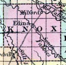
KNOX COUNTY, situated in the northeasterly part of Missouri. Area, --------- square miles. Seat of justice, Edina. Pop. in 1850, 2,894. (Fanning's, 1853)
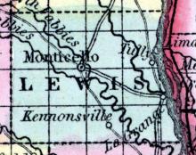
LA GRANGE, a post-village of Lewis county, Missouri, on the Mississippi river, 184 miles above St. Louis. It contains a college, 8 churches, 1 steam flouring mill, and 6 stores. It has an active business in shipping produce. Population in 1853, about 600. (Baldwin & Thomas, A New and Complete Gazetteer of the United States ...1854)
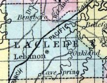
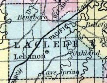
LACLEDE COUNTY, situated in the south part of Missouri. Area, --------- square miles. Seat of justice, Cave Spring. Pop. in 1850, 2,498. (Fanning's, 1853)
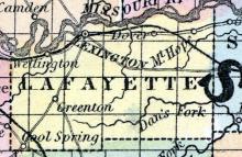
LAFAYETTE COUNTY, situated in the westerly part of Missouri, with Missouri river on the north. Area, 450 square miles. Seat of justice, Lexington. Pop. in 1840, 6,815; in 1850, 13,690. (Fanning's, 1853)
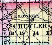
The county seat of Schuyler County, contain court house, several stores, and a grist mill, situated about 133 miles north by west of Jefferson City. (The Missouri State Gazetteer and Business Directory, 1860)
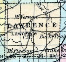
LAWRENCE COUNTY, situated in the southwesterly part of Missouri. Area, --------- square miles. Seat of justice, Mount Vernon. Pop. in 1850, 4,859. (Fanning's, 1853)
LEBANON, The county seat of LaClede county, Lebanon township, is a flourishing town situated on the south-west branch of the Pacitic Railroad. It was first settled by B.B. Harrison in 1849. It contains one high school and one Masonic Lodge, viz: LaClede Lodge, No. 83. Population 400. (The Missouri State Gazetteer and Business Directory, 1860)

