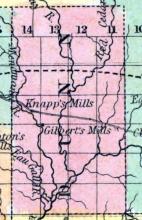
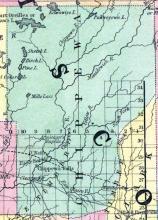
Founded in 1853 from parts of Crawford County.
All States // Missouri // Illinois // Iowa
Displaying 1101 - 1150 of 1183
State: Wisconsin
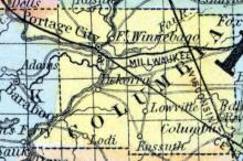
COLUMBIA COUNTY, situated toward the south part of Wisconsin, and traversed by Wisconsin river. Area, --------- square miles. Seat of justice, De Korra. Pop. in 1850, 9,565. (Fanning's, 1853)
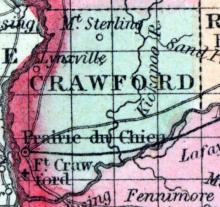
CRAWFORD COUNTY, situated on the westerly boundary of Wisconsin, between Mississippi and Wisconsin rivers. Area, ------ square miles. Seat of justice Prairie du Chien. Pop. in 1834, 810; in 1840,1,502; in 1850, 2,498. (Fanning's, 1853)
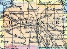
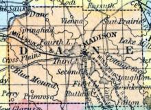
DANE COUNTY, situated toward the southerly part of Wisconsin, with Wisconsin river on the northwest, and contains the “Four Lakes.” Area, 234 square miles. Seat of justice, Madison, which is also the capital of the state. Pop. in 1840, 314; in 1850, 9,366. (Fanning's, 1853)
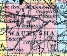
DELAFIELD, a post township in the K. W. central part of Waukesha county, Wisconsin. Population, 1134.
DELAFIELD, a post-village in the above township, 25 miles W. from Milwaukee. It has 2 flouring mills, 4 stores, and 1 machine shop. (Baldwin's New and Complete Gazetteer of the United States..., 1854)
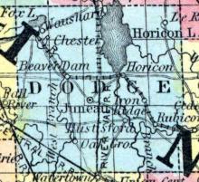
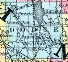
DODGE COUNTY, situated toward the easterly part of Wisconsin. Area, 756 square miles. Face of the country level, with prairies and swamps. Pop. in 1840, 67; in 1850, 3,892. (Fanning's, 1853)
DODGEVILLE, P. V., in town of same name, being on section 34. The village contains about 100 inhabitants, mostly miners, (English and Welsh.) There are 3 churches, 9 stores, and 1 smelting furnace. The country surrounding is well adapted to farming, and is well watered. (John Warren Hunt, Wisconsin Gazetteer..., Madison, 1853)
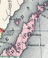
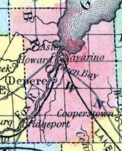
DOOR COUNTY, Wisconsin, is a narrow peninsula between Lake Michigan and Green bay, forming the N. E. extremity of the state. The area is about 400 square miles. It was separated from Brown county in 1850, but is not yet organized. Capital, Gibraltar. (Baldwin's New and Complete Gazetteer of the United States..., 1854)
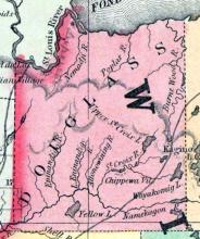
Founded in 1854 from unorganized territory. Named for Stephen Douglas. County seat: Superior, Wisconsin.
Founded in 1854 from parts of Chippewa County and organized in 1857. County seat: Menominie, Wisconsin.
Formed in 1856 from portions of Chippewa County. County seat: Eau Claire, Wisconsin.
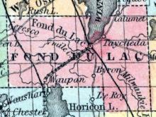
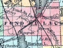
FOND DU LAC COUNTY, situated toward the easterly part of Wisconsin, with the southern part of Lake Winnebago on the north. Area, 400 square miles. Seat of justice, Fond du Lac. Pop. in 1840, 139; in 1850, 2,024. (Fanning's, 1853)
FOND DU LAC, a flourishing town, capital of Fond du Lac county, Wisconsin, is admirably situated at the S. end of Winnebago lake, 72 miles N. N. W. from Milwaukee, and 00 miles N. E. from Madison, Lake Winnebago, which is a beautiful sheet of water, 30 miles long and 10 miles wide, forms a link in the chain of navigable waters, connecting Lake Michigan and its tributaries with the Mississippi river, and is the channel of an active and extensive trade.
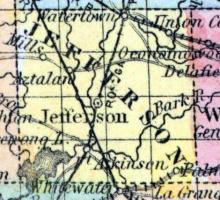
FORT ATKINSON, a thriving post-village of Jefferson county, Wisconsin, on Rock river, just below the mouth of the Bark river, about 40 miles E.S.E. from Madison. It is situated in a rich farming district. It has (1853) 2 churches. 8 stores, and about 500 inhabitants. (Baldwin's New and Complete Gazetteer of the United States..., 1854)
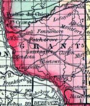
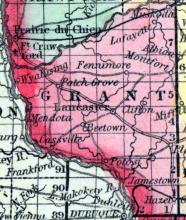
GRANT COUNTY, situated at the southwest corner of Wisconsin, with Mississippi river on the southwest, and the Wisconsin on the northwest. Face of the country generally level, or undulating; soil productive. Seat of justice, Lancaster. Pop. in 1840, 3,926; in 1850, 9,107. (Fanning's, 1853)
GREEN BAY, a thriving post-borough, capital of Brown county, Wisconsin, is situated on the right bank of the Neenah or Fox river, at its mouth, and exactly at the head of Green bay,114 miles N.from Milwaukee,and 120 miles N. E. from Madison. The town has a beautiful situation and contains many spacious warehouses, fine churches, and elegant residences.
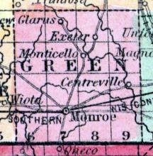
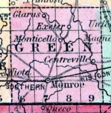
GREEN COUNTY, situated on the southern boundary of Wisconsin. Area, 576 square miles. Seat of justice, Monroe. Pop. in 1840, 933; in 1850, 6,179. (Fanning's, 1853)
Formed in 1858 from portions of Marquette County. County seat: Green Lake
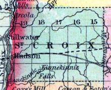
HUDSON, formerly WILLOW RIVER, capital of St. Croix county, Wisconsin, on the eastern shore of Lake St. Croix, at the mouth of Willow river, about 225 miles N. W. from Madison. It contains (1853) 2 churches, a United States land-office, 6 stores, several mills, and 94 dwellings. (Baldwin's New and Complete Gazetteer of the United States..., 1854)
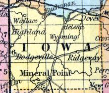
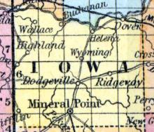
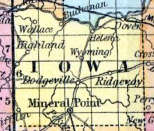
IOWA COUNTY, situated toward the southwesterly part of Wisconsin, with Wisconsin river on the north. Area, 1,300 square miles. Seat of justice, Mineral Point. Pop. in 1830, 1,576; in 1840, 3,978; in 1850, 5,672. (Fanning's, 1853)
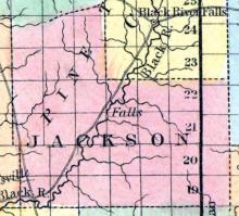
Founded in 1853 from parts of Crawford County. County seat: Black River Falls, Wisconsin.
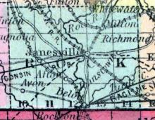
JANESVILLE, a flourishing town in Janesville township, and capital of Rock county, Wisconsin, is finely situated on both sides of Rock river, 45 miles S. E. from Madison, and 65 miles W. from Racine, with which it is connected by a plank-road. It is built principally on a level space about 200 yards in width, between the river and the bluffs, which rise nearly to the height of 100 feet. The court house occupies a conspicuous position on the summit of the bluff.
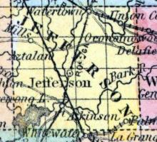
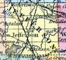
JEFFERSON COUNTY, situated toward the southeast part of Wisconsin, and traversed by Rock river. Area, 576 square miles. Seat of justice, Jefferson. Pop. in 1840, 914; in 1850, 6 955. (Fanning's, 1853)
JEFFERSON, a thriving post-village of Jefferson township, capital of Jefferson county, Wisconsin, on the left or E. bank of Rock river, at the mouth of the Crawfish river, 40 miles E. by S. from Madison. The valley of Rock river has a high reputation for fertility, and the banks of the river are remarkable for picturesque beauty. Jefferson has a fine water-power, and is a place of active business. It contains 2 churches, 10 stores, and 4 mills.
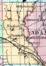
Founded in 1857 from parts of Adams County. County seat: Mauston, Wisconsin.
JUNEAU, formerly Dodge Centre, a post village, capital of Dodge co., Wisconsin, is pleasantly situated in the centre of the county, on the Fond du Lac and Rock River railroad, 40 miles E. N. E. from Madison. It was laid out and selected as the county seat about the year 1850, and named in memory of the first white settler of Wisconsin. The surrounding country is fertile, and rapidly improving. A newspaper is published here. Population in 1853, estimated at 500.
KENOSHA COUNTY, situated at the southeast corner of Wisconsin, on Lake Michigan. Area, -------- square miles. Seat of justice, Kenozha. Pop. in 1850, 10,734. (Fanning's, 1853)
KENOSHA, formerly SOUTHPORT, a flourishing town of Southport township, capital of Kenosha county, Wisconsin, on the W. shore of Lake Michigan, 65 miles N. from Chicago, and 35 miles S. from Milwaukee. It is the most southern lake port in Wisconsin, and has a good harbor and piers. The town was commenced in 1836; in 1840 it had 337 inhabitants: since which date it has increased very rapidly.
Founded in 1852 from parts of Manitowoc County and established as a county in 1859.
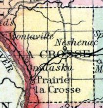
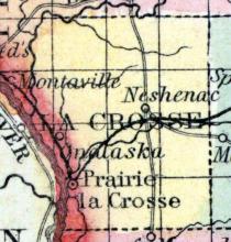
LA CROSSE, a county in the W. part of Wisconsin, bordering on Minnesota, from which it is separated by the Mississippi river, contains 5065 square miles. It is drained by La Crosse and Black rivers, and bounded on the N. W. by Buffalo river. Pine timber is abundant in the county. Capital, La Crosse. This county had not been organized when the census of 1850 was taken. (Baldwin's New and Complete Gazetteer of the United States..., 1854)
LA CROSSE, a thriving post-village, capital of La Crosse county, Wisconsin, is beautifully situated on the left bank of the Mississippi river, at the mouth of La Crosse river, 90 miles above Prairie du Chien, and 130 miles from Madison. It contains a court house, 1 or 2 churches, 11 stores, and 1 steam mill. Population in 1853, 543. (Baldwin's New and Complete Gazetteer of the United States..., 1854)
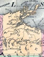
LA POINTE, a county forming the N. W. extremity of Wisconsin, bordering on Minnesota and Michigan, has an area of 5330 square miles. Lake Superior washes its northern border. The St. Croix and Chippewa rivers rise in the county and flow into the Mississippi; the Burntwood and Mauvais rivers also rise in the county and flow into Lake Superior. The surface is extensively covered by forests of pine timber.
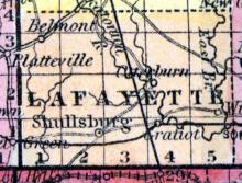
LAFAYETTE COUNTY, situated on the south boundary of Wisconsin. Area, -------- square miles. Seat of justice, ---------- . Pop. in 1850, 11,531. (Fanning's, 1853)
LANCASTER, a post-village, capital of Grant county, Wisconsin, about 14 miles N. from the Mississippi river, and 85 miles W. S. W. from Madison. It is surrounded by an excellent tract of land, and has productive lead mines in its vicinity. The village has a brick court house, 3 churches, and a newspaper office. Population in 1853, about 450. (Baldwin's New and Complete Gazetteer of the United States..., 1854)
Formed in 1879 from unorganized territory.
Formed in 1875 from portions of Marathon County.
MADISON,.capital of the state of Wisconsin, and seat of justice of Dane county, is pleasantly situated on an isthmus between Third lake and Fourth lake, 80 miles W. from Milwaukee, and 154 miles N. W. from Chicago. Lat. 43° 5' N., Ion. 89° 20' W. It stands in the centre of a broad valley, surrounded by heights from which the town can be seen at a distance of several miles. The isthmus is about three-quarters of a mile in width. Fourth lake, which lies on the N. W.
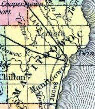
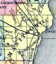
MANITOOWOC COUNTY, situated on the east boundary of Wisconsin, on Lake Michigan. Area, 468 square miles. Seat of justice, Manitoowoc. Pop. in 1840, 235l in 1850, 3,702. (Fanning's, 1853)
MANITOOWOC,a thriving post-village, capital of Manitoowoc county, Wisconsin, on the W. shore of Lake Michigan, at the mouth of the river of its own name, 93 miles N. by E. from Milwaukee. It has a good harbor, contains 3 or 4 churches, 12 stores, 2 steam mills, and 2 ship-yards, and carries on an active trade in pine lumber. A newspaper is issued here. Population in 1853, estimated at 2500. (Baldwin's New and Complete Gazetteer of the United States..., 1854)
MARATHON, a county in the N. part of Wisconsin, bordering on the Upper Peninsula of Michigan, contains 5452 square miles. The Wisconsin river rises near the N. E. extremity of the county, and traverses its whole length from N. to S. The surface presents no great elevations, and is mostly covered with forests of pine, from which vast quantities of lumber are procured, and floated on rafts down to Galena, St. Louis, &c.
Formed in 1879 from portions of Oconto County. County seat, Marinette, Wisconsin.
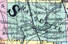
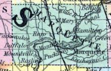
MARQUETTE COUNTY, situated in the central part of Wisconsin. Area, --------- square miles. Seat of justice, Marquette. Pop. in 1840, 18; in 1850, 8,642. (Fanning's, 1853)
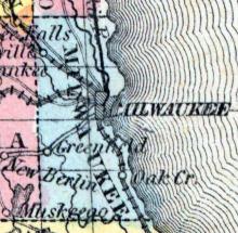
MILWAUKEE COUNTY, situated on the east boundary of Wisconsin, on Lake Michigan, and traversed by river. Area, ---------- square miles. Seat of justice, Milwaukee. Pop. in 1840, 5,605; in 1850, 31,010. (Fanning's, 1853)
MILWAUKEE, the chief city of Wisconsin, and next to Chicago, the largest on Lake Michigan, is situated in Milwaukee co., finely located for commerce, on both sides of Milwaukee river, at its entrance into the lake... Steamboats and other vessels, navigating Lake Michigan, touch here, on their way to and from Detroit and points on Lake Erie, and the St. Lawrence, Erie, and Welland canals.
MINERAL POINT, P. V., county seat of Iowa county, contains about 2,500 inhabitants and is rapidly increasing. It has 5 churches, 4 smelting furnaces in operation, and the value of mineral raised in crude state is $500,000 per annum; 11 dry good stores, 5 groceries, 3 drug stores, and 1 book store. Inhabitants are mostly miners.
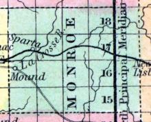
Founded in 1854 from parts of La Crosse County. County seat: Sparta, Wisconsin.
MONROE, C. H. and P. V., in town of same name, Green county, on section 35, town 2 X., of range 7 E. It is 40 miles south from Madison. Population 900, with 200 dwellings, 7 stores, S hotels, 2 mills, 4 waggon, 5 blacksmith, 4 cabinet, 4 shoe and 4 carpenter shops, 1 broom and 1 chair factory, 2 lath saws, and several turning lathes connected with machinery at the mills, 1 Methodist and 1 Christian church.
NEENAH, a flourishing post-village of Winnebago co., Wisconsin, on the Neenah river, at the foot of Lake Winnebago, 86 miles S. W. from Green bay. The river affords good water-power. The village contains 3 flouring mills, and 1 sash and blind factory. (Baldwin's New and Complete Gazetteer of the United States..., 1854)
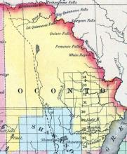
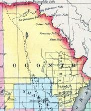
OCONTO, a county in the N. E. part of Wisconsin, bordering on Michigan and Green bay, contains about 4000 square miles. It is bounded on the N. E. by the Menomonee river, on the W. by the Wolf riv»r, and drained by the Oconto and Pishtego rivers. The surface is occupied by forests of pine. Oconto was separated from Brown county in 1850, and named from Oconto river. Capital, Jones' Mill. (Baldwin's New and Complete Gazetteer of the United States..., 1854)
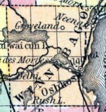
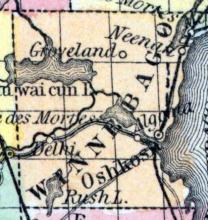
OSHKOSH, a flourishing post-village, capital of Winnebago county, Wisconsin, is situated on the Neenah or Fox river, at its entrance into Lake Winnebago, about 90 miles N. N. E. from Madison. The lumber trade is carried on here extensively, the river and lake being navigable by steamboats. It contains 3 churches, an academy, a land-office, 3 newspaper offices, 1 manufactory of pumps, 1 of threshing machines, 1 foundry, 6 mills, 9 drygoods stores, and about 20 other stores.


