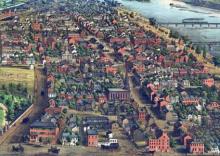
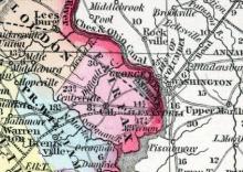
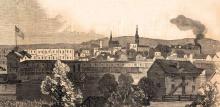
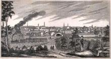
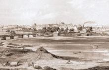
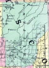
Harrisburg, capital of the state of Pennsylvania, and seat of justice for Dauphin co., is situated on the E. bank of the Susquehanna River, about 100 miles N. W. by W. from Philadelphia. Population in 1800, 1472; in 1810, 2287; in 1820, 2990; in 1830, 4311 ; in 1840, 6020; in 1850, 8000. The town is built on a peninsula formed by the Susquehanna on the W.
All States // Missouri // Illinois // Iowa
Displaying 1051 - 1100 of 1183
State: Pennsylvania
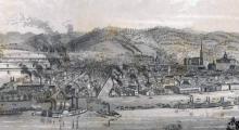
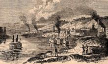
PITTSBURGH, city, Alleghany со., Pa., is situated at the head of Ohio river, which is here formed by the confluence of the Alleghany and Monongahela rivers. It is 297 miles westerly from Philadelphia, and 326 miles from Washington.
State: South Carolina
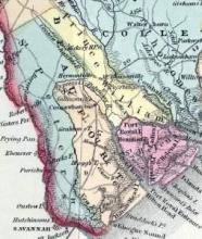
Beaufort, S. C., Beaufort co. A port of entry on Port Royal Island, on the W. bank of Port Royal River. A bar prevents the entrance of vessels drawing more than 11 feet. 75 miles S. W. from Charleston. 146 S. from Columbia.
John Hayward, Gazetteer of the United States of America… (Philadelphia: James L. Gihon, 1854), 281.
State: Tennessee
State: Texas
State: Virginia
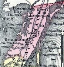
ACCOMAC COUNTY, on the eastern shore of Virginia, between Chesapeake bay and the ocean. It is about 20 miles long, and 10 miles wide, with an area of 240 square miles. The surface is generally sandy and flat. Courts are held at Drummond town. Pop., in 1820, 15,969; in 1830, 19,656; in 1840, 17,096; in 1850, 17,890.
Fanning's Illustrated Gazetteer of the United States.... (New York: Phelps, Fanning & Co., 1853), 17.
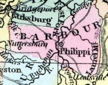
BARBOUR COUNTY, Va.. situated in the northwestern part of the state. Area, ------ square miles.Courts are held at Philippi. Pop. in 1850, 9,005. (Fanning's, 1853)
FAIRFAX was formed in 1742, from Prince William, and named after Lord Fairfax, the proprietor of " the Northerly Neck." The part of Virginia included in the District of Columbia was formed from Fairfax. The county is watered by the Potomac and the Occoquan, and their branches. Pop., whites 5,469, slaves 3,453, free colored 448; total, 9,370.
Henry Howe, Historical Collections of Virginia… (Charleston, SC: William R. Babcock, 1852), 254.
The city of Fredericksburg is in a handsome valley on the south side of the Rappahannock River, 56 miles from Washington City, and 62 miles from Richmond, on the line of the great southern rail-road. It is at the head of tide on the river, about 150 miles from its mouth. The Rappahannock is navigable for vessels of 140 tons, to the Falls of the Rappahannock, a short distance above the town…
This spot, so celebrated for its wild and majestic scenery, is in Jefferson co., at the confluence of Shenandoah and Potomac Rivers, where, after the union of their waters, they find a passage through the rocky barrier of the Blue Ridge, 1200 feet in height. Mr. Jefferson, in his "Notes on Virginia," has given a full and graphic account of the scene which is here presented, which he characterizes as "one of the most stupendous in nature." "Jefferson's Rock," the spot where it is said Mr.
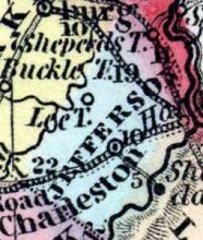
JEFFERSON COUNTY, situated on the northeasterly boundary of Virginia, with the Potomac river on the northeast, and traversed by the Shenandoah. Area, 225 square miles. Face of the country pleasantly diversified with hills and valleys; soil rich and well cultivated. Seat of justice, Charleston. Pop. in 1810, 11,851; in 1820, 13,087; in 1830, 12,927; in 1840, 14,082; in 1850, 15,357.
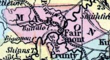
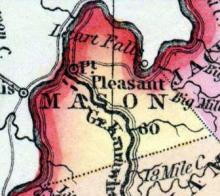
MASON COUNTY, situated on the northwesterly boundary of Virginia, with Ohio river on the northwest, and traversed by Great Kanawha river. Area, 875 square miles. Face of the country hilly; soil near the rivers fertile. Seat of justice Point Pleasant. Pop. in 1810, 1,991; in 1820, 4,868; in 1830, 6,534; in 1840, 6,777; in 1850, 7,539.
Fanning's Illustrated Gazetteer of the United States.... (New York: Phelps, Fanning & Co., 1853), 211.
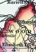
Parkersburg, the county-seat, is a neat village, beautifully situated on the Ohio at the mouth of the Little Kanawha, 335 miles northwesterly from Richmond, 94 below Wheeling, 12 below Marietta, and 264 miles above Cincinnati.
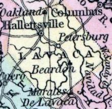
The large, wealthy, and flourishing town of Petersburg, is situated at the northeastern angle of the county, on the south bank of the Appomattox, 22 miles S. of Richmond, and 9 S. W. of City Point, on the line of the great southern railroad, with which last-named place there is also a railroad communication.
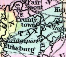
PRUNTYTOWN, c. h., p. v., seat of justice of Taylor co., Va., 267 ms. N. W. of Richmond; from W. 205 ms. Watered by Tygart’s Valley river.
Fanning's Illustrated Gazetteer of the United States.... (New York: Phelps, Fanning & Co., 1853), 302.
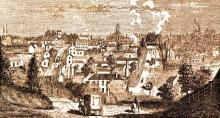
Richmond, Va. City, port of entry, capital of the state and seat of justice of Henrico co. It is pleasantly situated on the N. side of James River, immediately below the falls, and at the head of tide water. It is 23 miles N. from Petersburg, and 117 W. from Washington. The population, in 1800, was 5737; 1810, 9785; 1820, 12,067; 1830, 16,060; 1840, 20,153; 1850, 27,483.
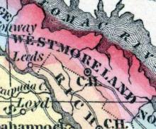
WESTMORELAND COUNTY, situated in the northeast boundary of Virginia, with Potomac river on the northeast and Rappahannock on the southwest. Area, 316 square miles. Seat of justice, Westmoreland c. h. Pop. in 1810, 8,102; in 1820, 6,901; in 1830, 8,411; in 1840, 8,019; in 1850, 8,080.
Fanning's Illustrated Gazetteer of the United States.... (New York: Phelps, Fanning & Co., 1853), 386.
WOOD was formed in 1799, from Harrison, and named from James Wood, governor of Virginia from 1790 to 1799; it is 35 miles long, and 30 wide. Nearly the whole of its territory is embraced in the valley of the Little Kanawha and its tributaries, Hughes Hirer, and N. fork of Hughes River. The surface is much broken, but the soil for the most part is good. Pop. in 1840, whites 7,243, slaves 624, free colored 56; total, 7,923.
State: Wisconsin
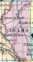
ADAMS, a county toward the W. part of Wisconsin, has an area of 1355 square miles. The Wisconsin river flows through it from X. to S.: it is also drained by the Lemonweir river. The surface is mostly covered with forests, from which large quantities of lumber are procured and rafted down the Wisconsin river. The streams above named furnish extensive water-power. Wheat, oats, Indian corn, hay, and butter are the staples.
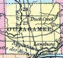
APPLETON, P. V., and C. H., in Outagamie county, town of Grand Chute, on section 26, town 21 N., range 17 E. It is about 125 miles northeast from Madison. The Lawrence Institute is located at this place, and the surrounding country is very healthy and fertile. Population 800; 275 dwellings, 10 stores, 5 hotels, 4 saw mills, 1 flouring mill, 1 edge tool factory, 2 planing mills and a paper factory.
Formed in 1860 from unorganized territory.
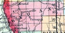
BAD AXE, a county in the W. part of Wisconsin, bordering on the Mississippi river, contains 772 square miles. It is drained by the Bad Axe and Kickapoo rivers, from the former of which the name is derived. The surface is uneven. This county is not included in the census, as it was not organized in 1850. Capital, Springville. (Baldwin's New and Complete Gazetteer of the United States..., 1854)
Founded in 1859 from parts of Dallas and Polk counties and inaugurated as an official county in 1874.
BELOIT, a flourishing post village of Beloit township, Rock county, Wisconsin, on the left bank of Rock river, at the mouth of Turtle creek, 55 miles S. 8. E. from Madison, 78 miles S. W. from Milwaukie, and very near the S. line of the state. It is situated on a beautiful plain, from which the ground rises abruptly 60 or 60 feet, affording desirable sites for residences. The part of the county E. from Rock river is occupied by a fertile prairie, the largest in the state.
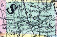
BERLIN, a flourishing post-village of Marquette county, Wisconsin, on the Neenah river, about 75 miles N. N. E. from Madison. It has a good landing for steamboats, and is the principal shipping point of the county. Population estimated at 1000. (Baldwin's New and Complete Gazetteer of the United States..., 1854)
Note: Now part of Waushara and Green Lake Counties.
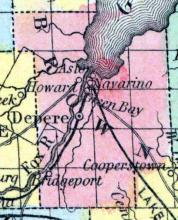
BROWN COUNTY, in the northeast part of Wisconsin, intersected by Depere. Area, 1,150 square miles. Seat of justice, Green Bay. Pop. 1840, 2,107; in 1850, 6,215. (Fanning's, 1853)
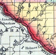
Founded in 1853 from parts of Trempealeau County.
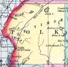
Formed in 1856 from portions of Polk County.
CALUMET COUNTY, situated in the easterly part of Wisconsin, on the east side of Lake Winnebago. Area, 300 square miles. Seat of justice, Pequot. Pop. in 1840, 275; in 1850, 1,743. (Fanning's, 1853)
CAMBRIDGE, a thriving post-village of Dane county, Wisconsin, on the Koshconong river, 22 miles E. by S. from Madison, has a good water-power, with a flouring and a saw mill. Population, about 300. Laid out about the year 1848. (Baldwin's New and Complete Gazetteer of the United States..., 1854)
CHILTON CENTRE, a small village, capital of Calumet county, Wisconsin, about 90 miles N. N. W. from Milwaukee. (Baldwin's New and Complete Gazetteer of the United States..., 1854)
CHILTON CENTRE, P. V., and C. H., in town of Charleston, Calumet county, town 18 N., of range 20 E. The county seat was located at this place by a vote of the county, in 1852. (John Warren Hunt, Wisconsin Gazetteer..., Madison, 1853)
CHIPPEWA COUNTY, situated toward the northwest part of Wisconsin, on the northeast side of Mississippi river, and traversed by Chippewa river. Area, ---------- square miles. Pop. in 1850, 615. (Fanning's, 1853)
CHIPPEWA FALLS, a post-village, capital of Chippewa county, Wisconsin, on Chippewa river, about 185 miles N. W. from Madison. It has extensive water-power with mills. Population in 1853, about 250. (Baldwin's New and Complete Gazetteer of the United States..., 1854)

