CLARENCE A station on the Hannibal and St. Joseph Railroad, 59 miles from Hannibal, 11 miles from Hudson, and 180 miles by Railroad from St. Louis. (Missouri State Gazetteer..., 1860)
All States // Missouri // Illinois // Iowa
Displaying 51 - 100 of 284
State: Missouri
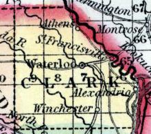
CLARK COUNTY, situated at the northeast comer of Missouri, with Des Moines river on the northeast, and the Mississippi on the east. Soil generally fertile. Area, 560 square miles. Seat of justice, Waterloo. Pop. in 1840, 2,846; in 1850, 5,527. (Fanning's, 1853)
CLARKSVILLE A post town of Pike county, on the Missouri River, 18 miles from Bowling Green, the county seat; 105 from St. Louis, and 90 from Jefferson City. Clarksville was first settled by James Burns in 1818, and in 1825 a post office was established. The chief products of the township are tobacco, wheat, corn, apples and pork. The timber, oak, walnut and hickory. The average price of uncultivated lands $35 per acre, cultivated $45.
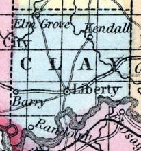
CLAY COUNTY, situated in the westerly part of Missouri, on the north side of Missouri river. Area, 432 square miles. Seat of justice, Liberty. Pop. in 1830, 5,338; in 1840, 8,282; in 1850, 10,332. (Fanning's, 1853)
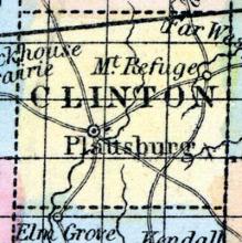
CLINTON COUNTY, situated toward the northwestern part of Missouri. Area, 425 square miles. Soil fertile, and generally prairie. Seat of justice, Plattsburgh. Pop. in 1836, 1,890; in 1840, 2,724; in 1850, 3,786. (Fanning's, 1853)
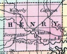
CLINTON, c.h., p.v., seat of justice of Rives* co., Mo. Watered by Grand river. (Fanning's, 1853)
*Rives County had been renamed Henry County, after Patrick Henry, in 1841.
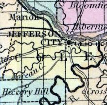
COLE COUNTY, situated in the central part of Missouri, on the southerly side of Missouri river, with Osage river on the southeast. Area, 650 square miles. Seat of justice, Jefferson City. Pop in 1830, 3,023; in 1840, 9,286; in 1850, 6,696. (Fanning's, 1853)
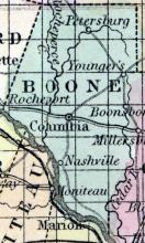
COLUMBIA, a flourishing and handsome post-village, capital of Boone county, Missouri, is pleasantly situated 35 miles N. N. W. from Jefferson City, and 10 miles from the Missouri river. It is the seat of the State University: the building is a large and elegant structure, built by the citizens of Boone county.
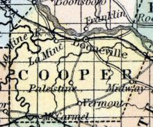
COOPER COUNTY, situated in the central part of Missouri, on the south side of Missouri river. Area, 400 square miles. Face of the country generally level, with rich and fertile prairies. The alluvial soil along the streams is also of first rate quality. Seat of justice, Bonneville. Pop. in 1820, 6,959; in 1830, 6,019; in 1840, 10,848; in 1850, 12,950. (Fanning's, 1853)
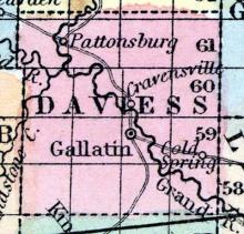
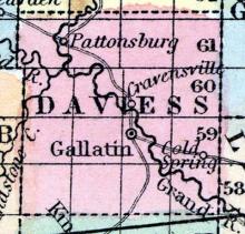
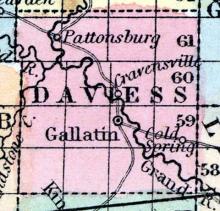
CRAVENSVILLE A post village of Daviess county, Grand River township, on Grand river, 4 miles from Gallatin, the county seat, 275 miles from St. Louis, and 200 from Jefferson City. It was first settled by Mormons, the post office being established in the winter of 1840. There is one stage line to Bethany, via Pattonsburg, distance 25 miles.
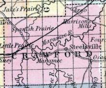
CRAWFORD COUNTY, situated toward the southeast part of Missouri, and watered by Maramec river. Area, 1,650 square ms. The face of the country is partly level, and partly hilly; soil generally poor, and abounds in iron. Seat of justice, Steelville. Pop. in 1830, 1,721; in 1840, 3,561; in 1850, 6,397. (Fanning's, 1853)
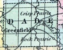
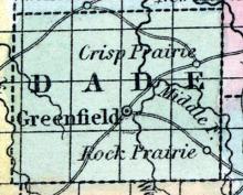
DADE COUNTY, situated near the southwest part of Missouri. Area, 960 square miles. Face of the country undulating; soil fertile. Seat of justice, Greenfield. Pop. in 1850, 4,246. (Fanning's, 1853)
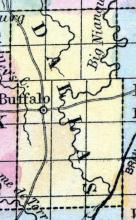
DALLAS COUNTY, situated toward the southwest part of Missouri. Area, --------- square miles. Seat of justice, Buffalo. Pop. in 1850, 3,648. (Fanning's, 1853)
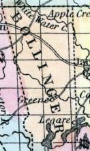
DALLAS, the county-seat [Bollinger County, Missouri], contains 300 inhabitants, of whom there are lawyers, 3; physicians, 2; merchants, 5; grocers, 2; druggist, 1; blacksmiths, 2; saddler, 1; hotel, 1; carpenters, 3. There is one steam flouring-mill; also one Missionary Baptist Church, with some 30 members, of which Rev. Geo. W. Coke is pastor. Dallas was incorporated December 6, 1855. (Parker's Missouri as it is in 1867..., 1867)
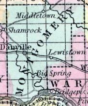
DANVILLE, The county seat of Montgomery county, Danville township, 18 miles from the Missouri river, four and a half miles from Florence station, on the North Missouri R.R., 80 miles from St. Louis. It contains four church organizations, viz: Methodist, Christian, Baptist, and Presbyterian, on Masonic Lodge -- Danville Lodge, No.
DAVIESS COUNTY, situated in the northwest part of Missouri, and traversed by long branch of Grand river. Area, 576 square miles. Seat of justice, Gallatin. Pop. in 1840, 2,736; in 1850, 5,298. (Fanning's, 1853)
DESOTO A post village of Jefferson county, Desoto township, on the St. Louis and Iron Mountain railroad, six miles from Hillsboro', the county seat, and 42 miles from St. Louis. It contains two churches, viz., Methodists, (South and North,) an Express agency, two general stores, two hotels, one hardware store, one steam saw and corn mill. This town is growing rapidly; several thousand pigs of lead are shipped from here to St. Louis.
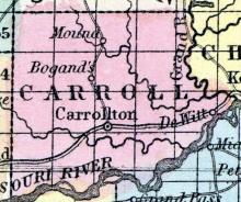
DE WITT A post village of Carroll county, Grand River township, on the Missouri River, 16 miles from Carrollton, the county seat, 250 miles from St. Louis, and 100 miles from Jefferson City. De Witt was first settled by A.M.
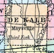
DE KALB COUNTY, situated In the northwest part of Missouri. Area, -------- square miles. Seat of justice, Maysville. Pop. in 1850, 2,076. (Fanning's, 1853)
Formed in 1851 from portions of Crawford and Shannon counties.
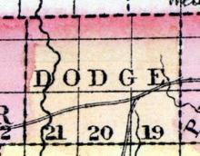
DODGE COUNTY, situated on the northerly boundary of Missouri. Area, ------ square miles. Seat of justice, St. John. Pop. in 1850, 353. (Fanning's, 1853)
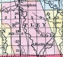
DONIPHAN, a post-village in Ripley co., Mo. (Baldwin's New and Complete Gazetteer of the United States..., 1854)
DONIPHAN is the county-seat [Ripley County, Missouri], and the shipping point for the county. It is located on the Current River, twenty-four miles south and about twelve miles east from where J. H. Colton has it on his Township Map of Missouri. Population about 150. (Parker's Missouri as it is in 1867..., 1867)
Formed in 1857 from a portion of Ozark County.
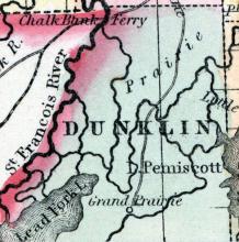
DUNKLIN COUNTY, situated at the southeasterly corner of Missouri, with St. Francis river on the west, and Lake Pemisco, and a part of Mississippi river, on the southeast. Area, -------- square miles. Seat of justice, Chillitecaux. Pop. in 1850, 1,229. (Fanning's, 1853)
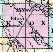
EDINA, a post-village, capital of Knox county, Missouri, on the South Fabius river, 125 miles N. from Jefferson City. (Baldwin & Thomas, A New and Complete Gazetteer of the United States ... 1854)
EDINA The county seat of Knox county, on the South Fabius river, 123 miles N. from Jefferson City. (Missouri State Gazetteer..., 1860)
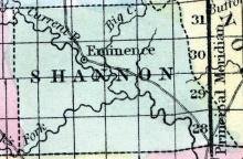
EMINENCE, a post-village, capital of Shannon county, Missouri, on Current river, about 120 miles S. W. from St. Louis. (Baldwin's New and Complete Gazetteer of the United States..., 1854)
EMINENCE, the seat of justice [Shannon County, Missouri], is a brisk town, situated a little above the center of the county on Current River, and is surrounded by a good agricultural country. (Parker's Missouri as it is in 1867..., 1867)
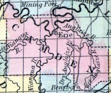
ERIE, a small post-village, capital of Camden county, Missouri, on the Osage river, just below the Niangua, 60 miles S. W. from Jefferson City. (Baldwin & Thomas, A New and Complete Gazetteer of the United States ... 1854)
Note: "Erie was located in northern Osage T. on the S bank of the Osage R. It was the county seat from 1841 to 1855, after which it was largely abandoned. It was originally called Oregon." (USGS)
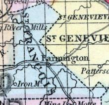
FARMINGTON, The county seat of St. Francois county, on the St. Louis and Iron Mountain Railroad, 73 miles from St.
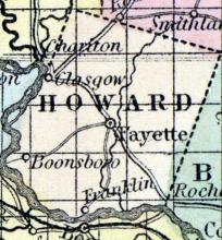
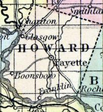
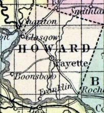
FAYETTE, a post-village, capital of Howard county, Missouri, on Bonne Femme creek, 60 miles N. W. from Jefferson City. The Missouri river approaches within 10 or 12 miles of the village, at two nearly opposite points. Coal and limestone are abundant in the vicinity.
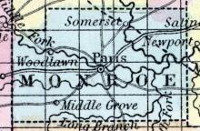
FLORIDA A post office of Monroe county, on the south side of the North fork of Fall river, 67 miles north by east of Jefferson City. (Missouri State Gazetteer..., 1860)
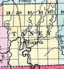
FORSYTH The county seat of Taney county, Swan township, situated on White river, 300 miles from St.
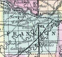
FRANKLIN COUNTY, situated toward the easterly part of Missouri, with Missouri river on the north. Area, 850 square miles. Face of the country broken and hilly; soil mostly sterile. Seat of justice, Newport. Pop. in 1820, 2,379; in 1830, 3,484; in 1840, 7,515; in 1850, 11,021. (Fanning's, 1853)
FRANKLIN, A post village of Howard county, Franklin township, on Boonefernne creek, 11 miles from Fayette, 180 miles from St. Louis, and 59 from Jefferson City. The village is called New Franklin, and is situated two miles from the Missouri river, immediately opposite Booneville. There are two two stage lines to Fayette, distance 11 miles, and to Boonesville, distance three miles. It contains four general stores, one district and one female school, one lodge, F. & A.
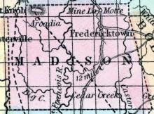
FREDERICKTOWN The county seat of Madison county, is beautifully situated in the midst of a mountainous country, about 15 miles from Pilot Knob, the present terminus of the Iron Mountain Railroad, and about 102 miles from St. Louis. The county was first settled by the French in 1790, and the town laid out in 1818.
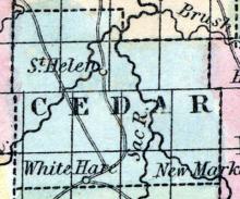
FREMONT, a small post-village, capital of Cedar co., Mo., near Sac river, 110 miles in a direct line W. S. W. from Jefferson City. (Baldwin & Thomas, A New and Complete Gazetteer of the United States ... 1854)
Note: Earlier named Lancaster, Missouri until changed to Fremont on January 2, 1847. Fremont, Missouri changed again to Stockton, Missouri on February 8, 1859.
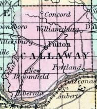
FULTON, a thriving post-village, capital of Callaway county, Missouri, 20 miles N. E. from Jefferson City, and 12 miles from the Missouri river. It is the seat of the state lunatic asylum, and the asylum for the deaf and dumb. The former, -which was established in 1848, is a beautiful edifice 210 feet long and 5 stories high, containing 112 apartments.
GALENA A post office of Stone county. (Missouri State Gazetteer..., 1860)
GALLATIN, a post-village, capital of Daviess county, Missouri, about 1 mile S. W. from the West fork of Grand river, and 190 miles N. W. from Jefferson City. (Baldwin & Thomas, A New and Complete Gazetteer of the United States ... 1854)
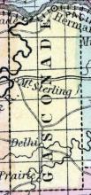
GASCONADE COUNTY, situated between the eastern and central parts of Missouri, on the southerly side of Missouri river, and traversed by Gasconade river. Area, 1,260 square miles. Face of the country uneven; soil, on the lowlands, fertile. Seat of justice, Hermann. Pop. in 1830, 1,545; in 1840, 5,330; in 1850, 4,996. (Fanning's, 1853)
GAYOSO, a small post-village, capital of Pemiscot county, Missouri, 310 miles S. E. from Jefferson City. It is situated near the Mississippi river, at Walker's Bend, 40 miles by water below New Madrid. The earthquakes of 1811 and 1812 exhibited the greatest violence in this vicinity. Laid out in 1851. (Baldwin & Thomas, A New and Complete Gazetteer of the United States ... 1854)
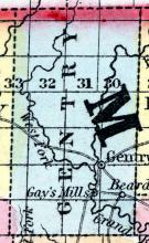
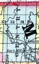
GENTRY COUNTY, Mo., c. h. at Gentry. On the N. W. border of the state, on the head waters of Grand River. (Gazetteer of the United States of America, 1854)
GENTRY A post office of Gentry county, on the east side of the East Fork of Grand river, above the confluence of Scalp creek, 170 miles north-west of Jefferson City. (Missouri State Gazetteer..., 1860)
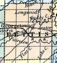
GEORGETOWN, a small post-village, capital of Pettis county, Missouri, on the W. fork of La Mine river, 37 miles W. S. W. from Booneville. (Baldwin & Thomas, A New and Complete Gazetteer of the United States ... 1854)
GLASGOW, a flourishing post-village of Howard county, Missouri, on the left (N.) bank of the Missouri river, 72 miles by land N. W. from Jefferson City. It is a place of considerable trade ; the surplus produce of Howard county, and some others, being mostly shipped here. A plank-road is projected between Glasgow and Huntsville. Two newspapers are published.
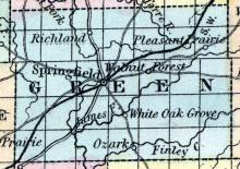
GREENE COUNTY, situated toward the southwesterly part of Missouri, and traversed by White river. Area, 1,000 square miles. Face of the country level, and in some parts hilly; soil productive. Seat of justice, Springfield. Pop. in 1840, 5,372; in 1850, 12,785. (Fanning's, 1853)
GREENFIELD, a post-village, capital of Dade co., Missouri, on the West fork of Sac River. (Baldwin & Thomas, A New and Complete Gazetteer of the United States ... 1854)

