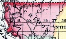
LINDEN, A post village of Atcheson county, Polk township, five miles from Rockport, the county seat, 400 miles from St. Louis, and 290 miles from Jefferson City. There are two stage lines, one to Council Bluffs, 70 miles, and to St. Joseph, 80 miles. The town contains one High School, one Baptist. one Campbellite, and one Methodist Church, one Odd Fellows’ lodge, viz., Linden, No. 93.
All States // Missouri // Illinois // Iowa
Displaying 151 - 200 of 284
State: Missouri
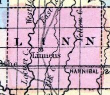
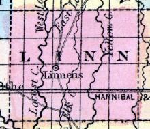
LINN COUNTY, situated on the northerly part of Missouri. Area, 588 square miles. Seat of justice, Linneus. Pop. in 1840, 2,245; in 1850, 4,058. (Fanning's, 1853)
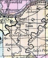
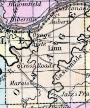
LINN, the county seat of Osage county, Crawford township, 100 miles from St. Louis, and 20 miles from Jefferson City. Linn was first settled by W.M. Lamkin in the year 1843. It contains three stores, two attorneys at law, two blacksmith, four carpenters, two physicians, one school teacher, two surveyors, two tailors, and one Masonic lodge, (Linn Lodge, No.
LINNEUS The county seat of Linn county, situated six miles from the Hannibal and St. Joseph Railroad, 325 miles from St. Louis, and 150 miles from Jefferson City. This town was settled in the year 1836, by Col. John Holland. There are two stage routes from this place, viz., one to Brunswick, 35 miles, and to Milton 25 miles. The chief products are corn, wheat, hemp and tobacco—the timber oak and walnut, the minerals coal and lead.
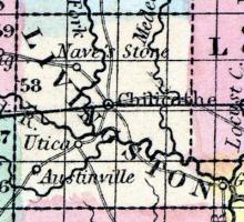
LIVINGSTON COUNTY, situated toward the northwest part of Missouri, and traversed by Grand river. Area, 510 square miles. Seat of justice, Chillicothe. Pop. in 1840, 4,325; in 1850, 4,247. (Fanning's, 1853)
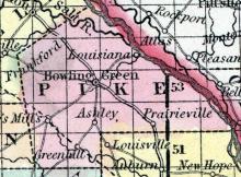
LOUISIANA, a post-village of Pike county, Missouri, on the Mississippi river, 1 mile below the mouth of Salt river, 88 miles N. E. from Jefferson City. It contains numerous warehouses, and 2 newspaper offices. (Baldwin & Thomas, A New and Complete Gazetteer of the United States ... 1854)
LOUTRE ISLAND, a post-office of Montgomery CO., Missouri. (Baldwin & Thomas, A New and Complete Gazetteer of the United States ... 1854)
LOUTRE ISLAND, A post office of Warren(sic) county, near the entrance of Loutre river into the Missouri, 41 miles east by north of Jefferson City. (The Missouri State Gazetteer and Business Directory, 1860)
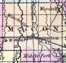
MACON CITY, Or Hudson, is a flourishing town in Macon county, situated on the junction of the North Missouri and Hannibal and St. Joseph Railroad, 168 miles from St. Louis, 125 from Jefferson City, and 7 from Bloomington, the county seat. The town was laid out in the year 1856, by James N. Tirrell, J.M. Curless, and S.H.
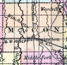
MACON COUNTY, situated in the northerly part of Missouri, and traversed by Chariton river. Area, 846 square miles. Seat of justice, Bloomington. Pop. in 1840, 6,034; in 1850, 6,565. (Fanning's, 1853)
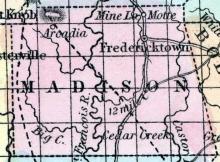
MADISON COUNTY, situated in the southeasterly part of Missouri. Area, 780 square miles. Seat of justice, Fredericktown. Pop. in 1830, 2,371; in 1840, 3,395; in 1850, 6,003. (Fanning's, 1853)
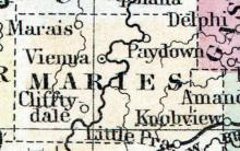
MARIES COUNTY This county was formed from the north part of Pulaski and the southern portion of Osage Counties, by an act, approved March 2d, 1855, and had a population, in 1860, of 4946. Portions of this county have been settled for twenty-five or thirty years.
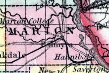
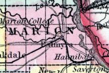
MARION COUNTY, situated on the easterly boundary of Missouri, with Mississippi river on the east. Area, 425 square miles. Seat of justice, Palmyra. Pop. in 1830, 4,837; in 1840, 9,623; in 1850, 12,230. (Fanning's, 1853)
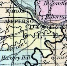
MARION, A post village of Cole county, situated on the Missouri river and Pacific Railroad, 15 miles from Jefferson City, the county seat, and 140 miles from St. Louis. The chief products of the township are wheat and corn -- timbers, oak, walnut, &c.
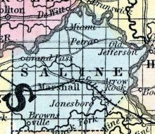
MARSHALL, The county seat of Saline county, 150 miles north-west of Jefferson City, situated near Salt Fork, a branch of Black River, 315 miles from St. Louis. It contains seven or eight stores, three church, viz., Reformer, Presbyterian, and Methodist, also two newspaper offices, viz., Marshall Democrat, weekly, John S. Davis, publisher, and the Saline County Herald, weekly, J.
MARYVILLE The county seat of Nodaway county, Polk township, is pleasantly situated, 860 miles from St. Louis, and 240 from Jefferson City; it was first settled by Americans, in the year 1841, and the post office was established in 1845; a stage line runs from Maryville to St. Joseph, 45 miles. There is one Masonic Lodge, viz: Maryville Lodge No. 165, and White Cloud Lodge No. 92, I. O. O. F.
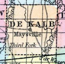
MAYSVILLE, The county seat of De Kalb county, Camden township, is situated on the H. & St. Joseph Railroad; was first settled by James Sloan. It contains four CHurches, viz., Cambellite, Missionary Baptist, Methodist, (south) and Cumberland Presbyterian; a High School, a Masonic Lodge, viz., Maysville No. 62, and an institution called Marysville Lyceum, numbering 48 members. Population 350. County Sheriff, A.C.
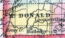
McDONALD COUNTY, situated at the southwest corner of Missouri. Area, --------- square miles. Seat of justice, Rutledge. Pop. in 1850, 2,236. (Fanning's, 1853)
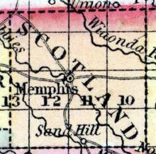
MEMPHIS a thriving post-village, capital of Scotland county, Missouri, is situated near the North Fabius river, 130 miles in direct line N. from Jefferson City. The land in the vicinity presents fine advantages for farming. (Baldwin's New and Complete Gazetteer of the United States..., 1854)
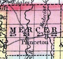
MERCER COUNTY, situated on the north boundary of Missouri. Area, ----------- square miles. Seat of justice, Princeton. Pop. in 1850, 2,691. (Fanning's, 1853)
MEXICO, The county seat of Audrain county, is situated on the line of the North Missouri Railroad, 108 miles from St.
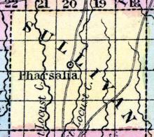
MILAN, a post office of Sullivan co., Mo. (Baldwin's New and Complete Gazetteer of the United States..., 1854)
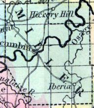
MILLER COUNTY, situated in the central part of Missouri, and traversed by Osage river. Area, 555 square miles. Seat of justice, Tuscumbia. Pop. in 1840, 2,282; in 1850, 3,834. (Fanning's, 1853)
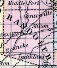
MILTON, A post village of Randolph county, in Union township, situated on the east fork of Salt river, twelve miles from Huntsville, the county seat, 156 miles from St. Louis, and 75 miles from Jefferson City. It was first settled by James B. Dameron in the year 1836 - in 1840 a post-office was established. There are two stage routes, one to Paris, 18 miles, and one to Huntsville, 12 miles. It contains one church, (Methodist) one Masonic lodge, No.
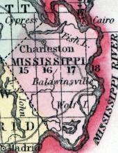
MISSISSIPPI COUNTY, situated on the southeasterly part of Missouri, with Mississippi river on the east. Area, ---------- square miles. Seat of justice, Charleston. Pop. in 1850, 3,123. (Fanning's, 1853)
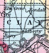
MISSOURI CITY A post village of Clay county, in Fishing River township, beautifully situated on the Missouri river, seven miles from Liberty, the county seat, 300 miles from St. Louis, and 150 miles from Jefferson City, and on the contemplated routes of the Missouri Valley, Kansas City and Keokuk railroads. It was settled by Wm. L. Smith in the year 1848, and in 1853 a post office was established.
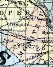
MONITEAU COUNTY, situated in the central part of Missouri, with Missouri river on the northeast. Area, -------- square miles. Seat of justice, Jamestown. Pop. in 1850, 6,004. (Fanning's, 1853)
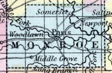
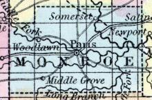
MONROE COUNTY, situated on the northeasterly part of Missouri. Area, 744 square miles. Seat of justice, Paris. Pop. in 1840, 9,505; in 1850, 10,541. (Fanning's, 1853)
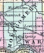
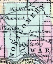
MONTGOMERY COUNTY, situated in the easterly part of Missouri, with Missouri river on the south. Area, 576 square miles. Seat of justice, Danville. Pop. in 1820, 3,074; in 1830, 3,902; in 1840, 4,371; in 1850, 5,849. (Fanning's, 1853)
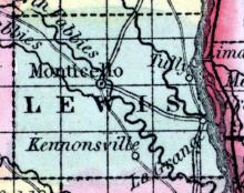
MONTICELLO, The county seat of Lewis County, near the center of the county, on the North Fabius river. It contains two churches, one Masonic lodge No. 58, six general stores, and two hotels. It was first settled in 1833, by Geo. Bailey and J. Hubbard Population 350. (The Missouri State Gazetteer and Business Directory, 1860)
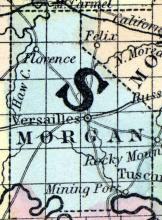
MORGAN COUNTY, situated in the central part of Missouri, with Osage river on the south. Area, 792 square miles. Seat of justice, Versailles. Pop. in 1840, 4,407; in 1850, 4,650. (Fanning's, 1853)
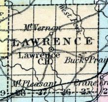
MOUNT VERNON A post village of Lawrence county, 132 miles south-west of Jefferson city. (Missouri State Gazetteer..., 1860)
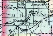
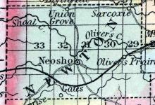
NEOSHO, a post-village, capital of Newton co., Missouri, 200 miles S. W. from Jefferson City. It has considerable trade with the Indians. Extensive lead mines have been opened about 6 miles from this place. (Baldwin & Thomas, A New and Complete Gazetteer of the United States ... 1854)
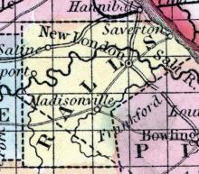
NEW LONDON, The county seat of Ralls county, Spencer township, on Salt river, 150 miles from St. Louis, and 100 from Jefferson City. The post office has been established 35 years. There are two stage routes - to Hannibal, 16 miles, and to St. Charles, 90 miles. The town contains one free school, and one high school in the course of erection, one church, Reformers, one Masonic Lodge, Blue Ridge Lodge, No.
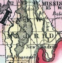
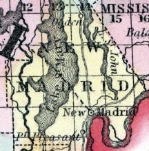
NEW MADRID COUNTY, Mo., c. h. at New Madrid. Bounded N. and N. E. by Scott and Mississippi counties E. and S. by the Mississippi River, separating it from Kentucky and W. by Dunklin co. The surface is level, and the soil, in parts not liable to inundation, is fertile. (Gazetteer of the United States of America, 1854)
NEW MADRID, Mo., c. h. New Madrid co. On the N. side of a considerable bend in the Mississippi River. 271 miles S. E. from Jefferson City. In 1811 and 1812 this place was visited with earthquakes. (Gazetteer of the United States of America, 1854)
NEWTON COUNTY, situated on the west boundary of Missouri. Area (in 1840), 1,150 square miles. Seat of justice, Neosho. Pop. in 1840, 3,790; in 1850, 4,268. (Fanning's, 1853)
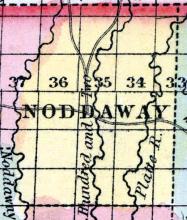
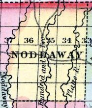
NODAWAY COUNTY, situated on the north boundary of Missouri. Area, ------ square miles. Seat of justice, Marysville. Pop. in 1850, 2,118. (Fanning's, 1853)
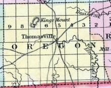
OREGON COUNTY, situated on the south boundary of Missouri. Area, -------- square miles. Seat of justice, Thomasville. Pop. in 1850, 1,432. (Fanning's, 1853)
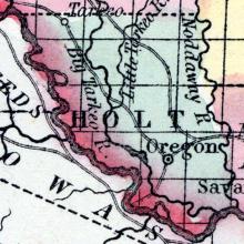
OREGON, a post-village, capital of Holt co., Mo., 210 N. W. by W. from Jefferson City. (Baldwin & Thomas, A New and Complete Gazetteer of the United States ... 1854)
OSAGE COUNTY, situated in the central part of Missouri, with Missouri and Osage rivers on the northwest, and traversed by the Gasconade river. Area, --------- square miles. Seat of justice, Linn. Pop. in 1850, 6,704. (Fanning's, 1853)
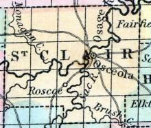
OSCEOLA post-village of St. Clair co., Missouri, on the Osage river, 132 miles W. S. W from Jefferson City, has 1 newspaper office. (Baldwin's New and Complete Gazetteer of the United States..., 1854)
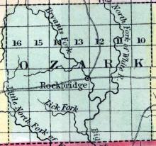
OZARK COUNTY, situated on the south boundary of Missouri. Area, -------- square miles. Seat of justice, Rockbridge. Pop. in 1850, 2,294. (Fanning's, 1853)
OZARK The county seat of Christian county, Finley township, on Finley creek, 15 miles from Springfield, the county seat of Greene county. Christian is a new county lately organized, and formerly a portion of Greene county, distant 250 miles from St. Louis, and 143 from Jefferson city. It contains an institute, one Christian and one Methodist church, two general stores, one flouring and one grist mill, two druggists, three distillers, two hotels and four saw mills.
PALMYRA, a flourishing post-village, capital of Marion county, Missouri, 100 miles N. E. from Jefferson City. The situation is high and healthy; the water is excellent. Marion City, the landing-place of Palmyra on the Mississippi, is 6 miles distant. The railroad which is in course of construction between Hannibal and St. Joseph will pass through Palmyra.
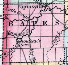
PAPINSViLLE, a post-village, capital of Bates co., Missouri, on the Osage river, 120 miles in a straight line W. S. W. from Jefferson City. (Baldwin's New and Complete Gazetteer of the United States..., 1854)
PAPINSVILLE A post office of Bates county, on the Osage river, 103 miles west by south west of Jefferson CIty. (Missouri State Gazetteer..., 1860)
PARIS, a thriving post-village, capital of Monroe co., Missouri, on the Middle fork of Salt river, 70 miles N. by E. from Jefferson City. It is situated in a rich farming district, which abounds in stone coal. It contains a court house and a newspaper office. (Baldwin's New and Complete Gazetteer of the United States..., 1854)
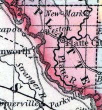
PARKVILLE A post town of Platte county, Pettis township, situated on the Missouri, near the mouth of Platte river, 15 miles from Platte City, the county seat, 471 miles by river from St. Louis, and 297 from Jefferson City. The town was first settled by Mr. Geo. S. Park. There is now in course of construction, and will be soon completed, a railroad, running from Parkville to the Grand river. A weekly paper is published here by F. M.
PEMISCOT, a county forming the S. E. extremity of Missouri, bordering on Arkansas and on the Mississippi river, which separates it from Tennessee, has an area estimated at 800 square miles. The surface is level, and mostly occupied by swamps and shallow lakes, among which the largest is Lake Pemiscot, situated in the S. part. Formed in 1851, out of the S. part of New Madrid county.
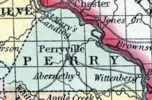
PERRY COUNTY, situated on the easterly boundary of Missouri, with Mississippi river on the northeast. Area, 400 square miles. Seat of justice, Perryville. Pop. in 1830, 3,349; in 1840, 5,760; in 1850, 2,438. (Fanning's, 1853)

